| Locality | Latitude | Longitude | Distance | Bearing |
|---|
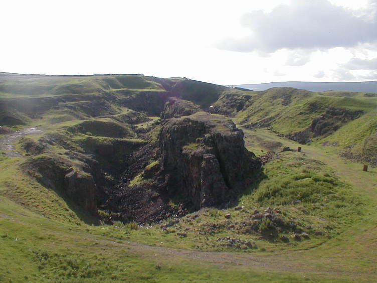
| Eastgate Quarry, Eastgate, Stanhope, County Durham, England, UK | 54° 43' 40" N | 2° 4' 39" W | 0.0km (0.0 miles) | |
| Rainbow's End Pocket, Fairy Hole Vein, Lady Annabella Mine, Eastgate Quarry, Eastgate, Stanhope, County Durham, England, UK | 54° 43' 35" N | 2° 5' 3" W | 0.4km (0.3 miles) | |
| Lady Annabella Mine, Eastgate Quarry, Eastgate, Stanhope, County Durham, England, UK | 54° 43' 37" N | 2° 5' 12" W | 0.6km (0.4 miles) | |
| Billing Hills Mine, Eastgate, Stanhope, County Durham, England, UK | 54° 44' 2" N | 2° 5' 1" W | 0.8km (0.5 miles) | |
| Billing Shield Mine, Stanhope, County Durham, England, UK | 54° 44' 13" N | 2° 4' 56" W | 1.1km (0.7 miles) | |
| Eastgate, Stanhope, County Durham, England, UK | 54° 44' 38" N | 2° 4' 31" W | 1.8km (1.1 miles) | |
| Cambokeels Mine (Cammock Isle Mine; Cumnock Isle Mine; Cammock Eals Mine), Westgate, Stanhope, County Durham, England, UK | 54° 44' 22" N | 2° 6' 3" W | 2.0km (1.2 miles) | |
| Westernhope New Mine, Stanhope, County Durham, England, UK | 54° 42' 25" N | 2° 6' 31" W | 3.0km (1.9 miles) | |
| Bollihope lead smelter slag locality, Stanhope, County Durham, England, UK | 54° 42' 44" N | 2° 2' 13" W | 3.1km (1.9 miles) | |
| Heights Quarry, Westgate, Stanhope, County Durham, England, UK | 54° 44' 48" N | 2° 6' 53" W | 3.2km (2.0 miles) | |
| Newlandside Quarry, Stanhope, County Durham, England, UK | 54° 44' 6" N | 2° 1' 35" W | 3.4km (2.1 miles) | |
| Park Burn Opencut, Westgate, Stanhope, County Durham, England, UK | 54° 44' 38" N | 2° 7' 21" W | 3.4km (2.1 miles) | |
| Heights Mine, Westgate, Stanhope, County Durham, England, UK | 54° 44' 51" N | 2° 7' 21" W | 3.6km (2.3 miles) | |
| West Newlandside Vein, Newlandside Quarry, Stanhope, County Durham, England, UK | 54° 44' 23" N | 2° 1' 27" W | 3.7km (2.3 miles) | |
| Greenfoot Quarry, Stanhope, County Durham, England, UK | 54° 44' 48" N | 2° 1' 46" W | 3.7km (2.3 miles) | |
| Westernhope Old Mine, Stanhope, County Durham, England, UK | 54° 42' 19" N | 2° 7' 26" W | 3.9km (2.4 miles) | |
| Rigg Mine, Westgate, Stanhope, County Durham, England, UK | 54° 44' 44" N | 2° 7' 55" W | 4.0km (2.5 miles) | |
| Quarry Hill Veins, Newlandside Quarry, Stanhope, County Durham, England, UK | 54° 44' 21" N | 2° 0' 53" W | 4.2km (2.6 miles) | |
| West Rigg Quarry, Westgate, Stanhope, County Durham, England, UK | 54° 44' 51" N | 2° 8' 12" W | 4.4km (2.7 miles) | |
| Harnisha Burn Mine, Stanhope, County Durham, England, UK | 54° 42' 38" N | 2° 0' 55" W | 4.4km (2.7 miles) | |
| Westgate, Stanhope, County Durham, England, UK | 54° 44' 16" N | 2° 8' 43" W | 4.5km (2.8 miles) | |
| Yew Tree Mine, Stanhope, County Durham, England, UK | 54° 42' 45" N | 2° 0' 39" W | 4.6km (2.9 miles) | |
| Middlehope Burn, Westgate, Stanhope, County Durham, England, UK | 54° 44' 31" N | 2° 8' 51" W | 4.8km (3.0 miles) | |
| Lower Slitt Hushes, Westgate, Stanhope, County Durham, England, UK | 54° 44' 54" N | 2° 8' 34" W | 4.8km (3.0 miles) | |
| Slitt Mine, Westgate, Stanhope, County Durham, England, UK | 54° 44' 51" N | 2° 8' 45" W | 4.9km (3.0 miles) | |
| West Pasture Mine, Stanhope, County Durham, England, UK | 54° 45' 33" N | 2° 1' 12" W | 5.1km (3.2 miles) | |
| Lanehead Quarry, Stanhope, County Durham, England, UK | 54° 45' 32" N | 2° 1' 11" W | 5.1km (3.2 miles) | |
| Middlehope Shield Mine, Westgate, Stanhope, County Durham, England, UK | 54° 45' 10" N | 2° 8' 44" W | 5.2km (3.2 miles) | |
| Ashes Quarry, Stanhope, County Durham, England, UK | 54° 45' 11" N | 2° 0' 34" W | 5.2km (3.2 miles) | |
| Parson Byers Quarry, Stanhope, County Durham, England, UK | 54° 43' 41" N | 1° 59' 37" W | 5.4km (3.4 miles) | |


West Rigg Quarry, Westgate, Stanhope, County Durham, England, UK