| Locality | Latitude | Longitude | Distance | Bearing |
|---|
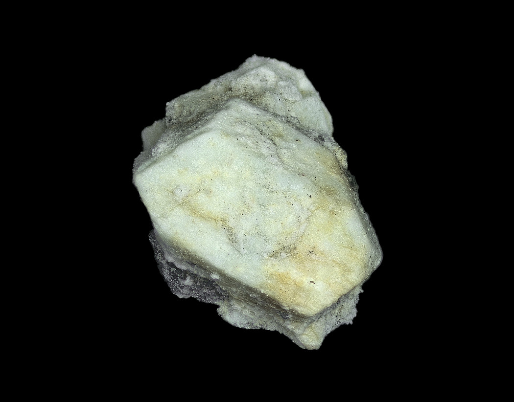
| Qiniangshan, Shenzhen, Guangdong, China | 22° 31' 31" N | 114° 32' 58" E | 0.0km (0.0 miles) | |
| Danshui Pb-Zn deposit, Huiyang District, Huizhou, Guangdong, China | 22° 48' 0" N | 114° 34' 0" E | 30.6km (19.0 miles) | |
| Ma On Shan Mine, Ma On Mountain (Ma On Shan), Sha Tin District, New Territories, Hong Kong, China | 22° 24' 59" N | 114° 15' 0" E | 33.1km (20.6 miles) | |
| Lin Ma Hang Mine, North District, New Territories, Hong Kong, China | 22° 33' 12" N | 114° 11' 19" E | 37.2km (23.1 miles) | |
| Pioneer quarry, Kwun Tong District, Kowloon, Hong Kong, China | 22° 19' 28" N | 114° 14' 7" E | 39.3km (24.4 miles) | |
| Devil's Peak, Sai Kung District, New Territories, Hong Kong, China | 22° 17' 37" N | 114° 14' 38" E | 40.7km (25.3 miles) | |
| Pak Sha Wan station, Hong Kong Island, Hong Kong, China | 22° 16' 40" N | 114° 14' 25" E | 42.0km (26.1 miles) | |
| Needle Hill Mine, Needle Hill (Cham Shan), Sha Tin District, New Territories, Hong Kong, China | 22° 22' 59" N | 114° 9' 0" E | 44.0km (27.3 miles) | |
| Chuen Lung, Tsuen Wan District, New Territories, Hong Kong, China | 22° 23' 41" N | 114° 6' 31" E | 47.6km (29.6 miles) | |
| Lin Fa Shan, Tsuen Wan District, New Territories, Hong Kong, China | 22° 23' 43" N | 114° 5' 3" E | 50.0km (31.1 miles) | |
| Mai Po, Yuen Long District, New Territories, Hong Kong, China | 22° 29' 56" N | 114° 2' 44" E | 51.8km (32.2 miles) | |
| Leung Tin Tsuen, Castle Peak, Tuen Mun District, New Territories, Hong Kong, China | 22° 24' 1" N | 113° 58' 50" E | 60.1km (37.3 miles) | |
| Discovery Bay lookout, Lantau Island, Islands District, New Territories, Hong Kong, China | 22° 17' 48" N | 114° 0' 26" E | 61.3km (38.1 miles) | |
| Leung Tin Au, Tuen Mun District, New Territories, Hong Kong, China | 22° 24' 33" N | 113° 57' 13" E | 62.6km (38.9 miles) | |
| Jishuimen Mine, Haifeng Co., Shanwei, Guangdong, China | 22° 51' 0" N | 115° 2' 59" E | 62.7km (39.0 miles) | |
| Castle Peak, Tuen Mun District, New Territories, Hong Kong, China | 22° 22' 59" N | 113° 57' 0" E | 63.6km (39.5 miles) | |
| Silvermine cave (Mui Wo Mine), Lantau Island, Islands District, New Territories, Hong Kong, China | 22° 16' 25" N | 113° 59' 26" E | 63.9km (39.7 miles) | |
| Lantau Peak (Tai Tung Shan), Lantau Island, Islands District, New Territories, Hong Kong, China | 22° 15' 35" N | 113° 58' 45" E | 65.7km (40.8 miles) | |
| Sha Lo Wan, Lantau Island, Islands District, New Territories, Hong Kong, China | 22° 17' 15" N | 113° 54' 6" E | 71.7km (44.5 miles) | |
| San Shek Wan, Lantau Island, Islands District, New Territories, Hong Kong, China | 22° 16' 54" N | 113° 53' 44" E | 72.5km (45.0 miles) | |
| Kwun Yum Shan, Lantau Island, Islands District, New Territories, Hong Kong, China | 22° 14' 22" N | 113° 53' 22" E | 74.9km (46.6 miles) | |
| Niutoushan Sn deposit, Haifeng Co., Shanwei, Guangdong, China | 22° 52' 0" N | 115° 10' 59" E | 75.3km (46.8 miles) | |
| Changpu Mine, Haifeng Co., Shanwei, Guangdong, China | 22° 55' 59" N | 115° 13' 59" E | 83.5km (51.9 miles) | |
| Deposit No. 520, Boluo Co., Huizhou, Guangdong, China | 23° 19' 59" N | 114° 28' 0" E | 90.2km (56.1 miles) | |
| Yonghan Mine, Zengcheng Co., Guangzhou, Guangdong, China | 23° 23' 59" N | 113° 57' 0" E | 115.0km (71.5 miles) | |
| Guantian Mine (Lufeng pyrite mine), Lufeng Co., Shanwei, Guangdong, China | 23° 4' 59" N | 115° 30' 29" E | 116.2km (72.2 miles) | |
| Lishan Fe-polymetallic deposit, Boluo Co., Huizhou, Guangdong, China | 23° 37' 0" N | 114° 27' 0" E | 121.8km (75.7 miles) | |
| Chapai Pb-Zn deposit, Longmen Co., Huizhou, Guangdong, China | 23° 37' 0" N | 114° 16' 59" E | 124.4km (77.3 miles) | |
| Baoshanzhang Fe-Cu deposit, Zijin Co., Heyuan, Guangdong, China | 23° 37' 0" N | 114° 55' 0" E | 127.0km (78.9 miles) | |
| Tashan Sn deposit, Lufeng Co., Shanwei, Guangdong, China | 23° 13' 59" N | 115° 31' 59" E | 127.9km (79.5 miles) | |


Qiniangshan, Shenzhen, Guangdong, China