| Locality | Latitude | Longitude | Distance | Bearing |
|---|
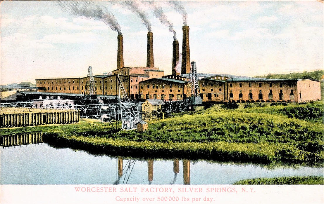
| Silver Springs, Wyoming County, New York, USA | 42° 39' 29" N | 78° 5' 0" W | 9.0km (5.6 miles) | |
| Rock Glen, Wyoming County, New York, USA | 42° 41' 0" N | 78° 7' 0" W | 9.8km (6.1 miles) | |
| Mount Morris (New York) meteorite, Mount Morris, Livingston County, New York, USA | 42° 42' 0" N | 77° 52' 59" W | 10.1km (6.3 miles) | |
| Warsaw, Wyoming County, New York, USA | 42° 44' 0" N | 78° 7' 59" W | 10.6km (6.6 miles) | |
| Sterling Salt Company Mine, Cuylerville, Livingston County, New York, USA | 42° 45' 59" N | 77° 52' 0" W | 12.7km (7.9 miles) | |
| Wyoming, Wyoming County, New York, USA | 42° 49' 59" N | 78° 5' 0" W | 14.5km (9.0 miles) | |
| Greigsville Mine, Greigsville, Livingston County, New York, USA | 42° 49' 59" N | 77° 54' 0" W | 15.7km (9.7 miles) | |
| Retsof Mine (Retsof salt mine), Retsof, Livingston County, New York, USA | 42° 49' 59" N | 77° 52' 30" W | 16.9km (10.5 miles) | |
| Lehigh Mining Company Mine, Le Roy, Genesee County, New York, USA | 42° 56' 0" N | 77° 58' 59" W | 24.3km (15.1 miles) | |
| Livonia Salt Mining Company Mine, Livonia, Livingston County, New York, USA | 42° 48' 59" N | 77° 39' 59" W | 29.9km (18.6 miles) | |
| Le Roy Stone Quarry, Le Roy, Genesee County, New York, USA | 42° 59' 12" N | 77° 56' 26" W | 30.6km (19.0 miles) | |
| Unnamed Gypsum Mine, Mumford, Wheatland Township, Monroe County, New York, USA | 43° 0' 0" N | 77° 52' 0" W | 33.6km (20.9 miles) | |
| Ebsary Gypsum Company Mine, Wheatland Center, Wheatland Township, Monroe County, New York, USA | 43° 0' 0" N | 77° 48' 59" W | 35.2km (21.9 miles) | |
| South Byron meteorite, South Byron, Genesee County, New York, USA | 43° 1' 59" N | 78° 1' 59" W | 35.4km (22.0 miles) | |
| Garbutt Gypsum Company Mine, Garbutt, Wheatland Township, Monroe County, New York, USA | 43° 0' 0" N | 77° 48' 0" W | 35.8km (22.2 miles) | |
| Empire Gypsum Company Mine, Garbutt, Wheatland Township, Monroe County, New York, USA | 43° 0' 51" N | 77° 49' 40" W | 36.2km (22.5 miles) | |
| Lycoming Calcining Company Mines, Garbutt, Wheatland Township, Monroe County, New York, USA | 43° 0' 59" N | 77° 46' 59" W | 38.1km (23.6 miles) | |
| M. Rogers farm deposit, Garbutt, Wheatland Township, Monroe County, New York, USA | 43° 1' 59" N | 77° 49' 0" W | 38.5km (23.9 miles) | |
| McVane Farm Mine, Garbutt, Wheatland Township, Monroe County, New York, USA | 43° 1' 59" N | 77° 46' 59" W | 39.7km (24.7 miles) | |
| Consolidated Wheatland Plaster Company Mine, Wheatland Center, Wheatland Township, Monroe County, New York, USA | 43° 2' 59" N | 78° 16' 0" W | 42.8km (26.6 miles) | |
| Monarch Plaster Company Mine, Wheatland Center, Wheatland Township, Monroe County, New York, USA | 43° 3' 59" N | 78° 16' 0" W | 44.5km (27.6 miles) | |
| Spring Creek, Alden, Erie County, New York, USA | 42° 54' 15" N | 78° 29' 11" W | 44.5km (27.6 miles) | |
| Niagara Gypsum Company Mine, Oakfield, Genesee County, New York, USA | 43° 3' 59" N | 78° 16' 59" W | 45.1km (28.0 miles) | |
| United States Gypsum Company Mines, Oakfield, Genesee County, New York, USA | 43° 4' 0" N | 78° 16' 59" W | 45.1km (28.0 miles) | |
| Mendon Stone Quarry, Ionia, West Bloomfield, Ontario County, New York, USA | 42° 56' 20" N | 77° 29' 17" W | 49.0km (30.4 miles) | |
| Buffalo Creek, East Elma, Elma, Erie County, New York, USA | 42° 48' 19" N | 78° 35' 45" W | 49.2km (30.6 miles) | |
| Standard Plaster Company Mine, Indian Falls, Genesee County, New York, USA | 43° 1' 59" N | 78° 26' 0" W | 49.6km (30.8 miles) | |
| Vincent, Ontario County, New York, USA | 42° 49' 59" N | 77° 24' 0" W | 51.1km (31.8 miles) | |
| American Cement Plaster Company Mine (Akron Gypsum Company Mine), Akron, Newstead Township, Genesee County, New York, USA | 43° 1' 59" N | 78° 28' 59" W | 52.6km (32.7 miles) | |
| American Gypsum Company Mine, Akron, Newstead Township, Genesee County, New York, USA | 43° 2' 59" N | 78° 28' 0" W | 52.9km (32.8 miles) | |


Silver Springs, Wyoming County, New York, USA