Hud's Head Quarry (Pier Quarry), Ancroft, Northumberland, England, UKi
| Regional Level Types | |
|---|---|
| Hud's Head Quarry (Pier Quarry) | Quarry (Abandoned) |
| Ancroft | Civil Parish |
| Northumberland | County |
| England | Constituent Country |
| UK | Country |
This page is currently not sponsored. Click here to sponsor this page.
Latitude & Longitude (WGS84):
55° 44' 53'' North , 1° 58' 45'' West
Latitude & Longitude (decimal):
Locality type:
Quarry (Abandoned) - last checked 2020
Köppen climate type:
Nearest Settlements:
| Place | Population | Distance |
|---|---|---|
| Berwick-Upon-Tweed | 13,265 (2017) | 2.8km |
| Lowick | 373 (2017) | 10.9km |
| Norham | 579 (2017) | 11.9km |
| Ayton | 560 (2017) | 13.9km |
| Eyemouth | 3,430 (2017) | 15.3km |
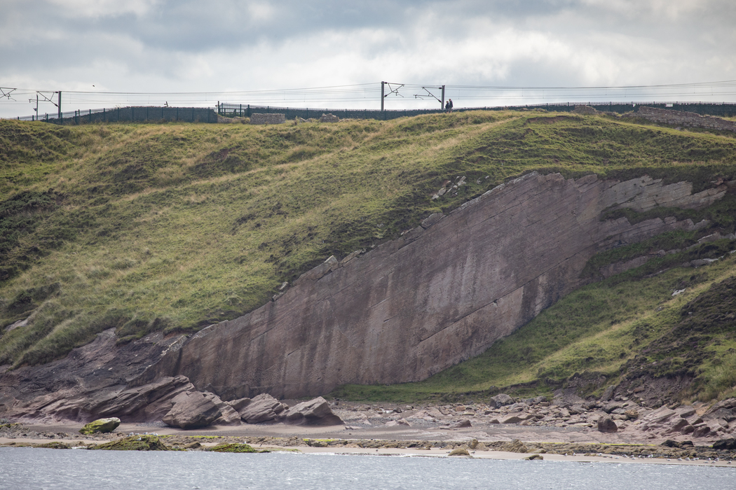
This quarry was used to cut the sandstone blocks used for the construction of the pier at Berwick-upon-Tweed just across the Tweed estuary.
Active between 1808 and 1825.
Commodity List
This is a list of exploitable or exploited mineral commodities recorded at this locality.List of minerals for each chemical element
Other Regions, Features and Areas containing this locality
British and Irish IslesGroup of Islands
Eurasian PlateTectonic Plate
This page contains all mineral locality references listed on mindat.org. This does not claim to be a complete list. If you know of more minerals from this site, please register so you can add to our database. This locality information is for reference purposes only. You should never attempt to
visit any sites listed in mindat.org without first ensuring that you have the permission of the land and/or mineral rights holders
for access and that you are aware of all safety precautions necessary.


Hud's Head Quarry, Ancroft, Northumberland, England, UK