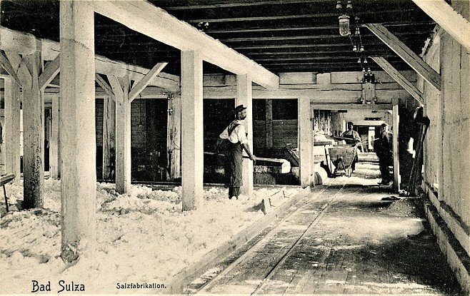
Salt works, Bad Sulza, Weimarer Land, Thuringia, Germanyi
| Regional Level Types | |
|---|---|
| Salt works | Brine Well |
| Bad Sulza | - not defined - |
| Weimarer Land | District |
| Thuringia | State |
| Germany | Country |
This page is currently not sponsored. Click here to sponsor this page.


Latitude & Longitude (WGS84):
51° 5' 43'' North , 11° 38' 3'' East
Latitude & Longitude (decimal):
Type:
Köppen climate type:
Nearest Settlements:
| Place | Population | Distance |
|---|---|---|
| Bad Sulza | 3,027 (2015) | 0.9km |
| Großheringen | 685 (2014) | 2.5km |
| Auerstedt | 492 (2015) | 3.2km |
| Taugwitz | 556 (2015) | 3.3km |
| Schmiedehausen | 466 (2011) | 3.9km |
Mindat Locality ID:
423438
Long-form identifier:
mindat:1:2:423438:1
GUID (UUID V4):
e685b08b-6f3d-4c32-b2e1-02947fb8acd0
Other/historical names associated with this locality:
Salinenwerke, Gradierwerke, Salinen,
No description has been added for this locality. Can you add one?
List of minerals for each chemical element
Other Regions, Features and Areas containing this locality
Eurasian PlateTectonic Plate
EuropeContinent
This page contains all mineral locality references listed on mindat.org. This does not claim to be a complete list. If you know of more minerals from this site, please register so you can add to our database. This locality information is for reference purposes only. You should never attempt to
visit any sites listed in mindat.org without first ensuring that you have the permission of the land and/or mineral rights holders
for access and that you are aware of all safety precautions necessary.
Quick NavTopOther Regions


Salt works, Bad Sulza, Weimarer Land, Thuringia, Germany