| Locality type: | Mine |
| Classification |
|---|
|
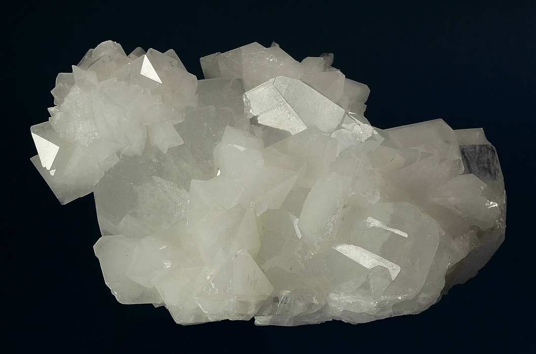
| Species: | Celestine |
| Formula: | SrSO4 |
| Confirmation |
|---|
|
| Validity: | Believed Valid |
| Associated Minerals Based on Photo Data: |
|---|
|
| Colemanite | ⓘ4 photos of Celestine associated with Colemanite at this locality. |
| Data |
|---|
|
| Mineral Data: | Click here to view Celestine data |
| Locality Data: | Click here to view Billie Mine (Billie group; Ryan Mine; Billie I Mine; Billie II Mine), Ryan, Furnace Creek Mining District (Furnace Creek Borate Mining District), Inyo County, California, USA |
| Photo Gallery | View Gallery (4 photos) |
| Data Identifiers |
|---|
|
| Mindat Occurrence Record ID: | 2978 |
| Long-form Identifier: | 1:3:2978:0 |
| GUID (UUID V4): | b865f02f-4f20-487c-bb6d-c1fc48e7e77a |
| Nearest other occurrences of Celestine |
|---|
|
|
| 1.8km (1.1 miles) | ⓘBoraxo Mine, Ryan, Furnace Creek Mining District (Furnace Creek Borate Mining District), Inyo County, California, USA |
| 2.5km (1.5 miles) | ⓘOliver claim (Neglect claim; Oliver Consolidated claim), Ryan, Furnace Creek Mining District (Furnace Creek Borate Mining District), Inyo County, California, USA |
| 7.9km (4.9 miles) | ⓘCorkscrew Canyon Mine, Ryan, Furnace Creek Mining District (Furnace Creek Borate Mining District), Inyo County, California, USA |
| 8.1km (5.0 miles) | ⓘFurnace Creek Mining District (Furnace Creek Borate Mining District), Inyo County, California, USA |
| 16.5km (10.3 miles) | ⓘGower Gulch Mine, Zabriskie Point, Black Mountains, Amargosa Range, Inyo County, California, USA |
| 22.5km (14.0 miles) | ⓘEagle Borax Spring, Inyo County, California, USA |
| 74.2km (46.1 miles) | ⓘTecopa paleolake deposits, Tecopa, Sperry Hills, Inyo County, California, USA |
| 77.8km (48.4 miles) | ⓘOwls Head Celestite prospect (Owlshead), Owl Hole Springs, Owlshead Mountains, San Bernardino County, California, USA |
| 78.7km (48.9 miles) | ⓘOwl Hole deposit (Owl Hole Gypsum prospect group; Owl Hole Spring deposit), Owl Hole Springs, Owlshead Mountains, San Bernardino County, California, USA |
| 83.3km (51.8 miles) | ⓘBoston Valley Salt prospect, Sheep Creek Spring, Avawatz Mts (Avawatz Range), San Bernardino County, California, USA |
| References |
|---|
|
|


Billie Mine, Ryan, Furnace Creek Mining District, Inyo County, California, USA