| Locality type: | Quarry |
| Classification |
|---|
|
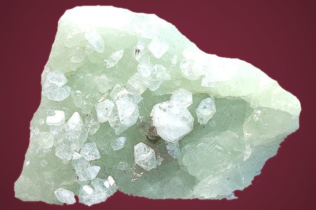
| Species: | 'Apophyllite Group' (not an IMA approved species) |
| Formula: | AB4[Si8O22]X · 8H2O |
| Confirmation |
|---|
|
| Validity: | Believed Valid |
| Associated Minerals Based on Photo Data: |
|---|
|
| Prehnite | ⓘ2 photos of Apophyllite Group associated with Prehnite at this locality. |
| Calcite | ⓘ1 photo of Apophyllite Group associated with Calcite at this locality. |
| Data |
|---|
|
| Mineral Data: | Click here to view Apophyllite Group data |
| Locality Data: | Click here to view Notch Quarry (Lane Quarry; Amherst Quarry; Round Mountain Quarry), Amherst, Hampshire County, Massachusetts, USA |
| Data Identifiers |
|---|
|
| Mindat Occurrence Record ID: | 439148 |
| Long-form Identifier: | 1:3:439148:7 |
| GUID (UUID V4): | 3250bdfd-779e-4618-b0b6-82d91b13d30f |
| Nearest other occurrences of Apophyllite Group |
|---|
|
|
| 10.3km (6.4 miles) | ⓘMt. Tom Quarry, Mount Tom, Holyoke, Hampden County, Massachusetts, USA |
| 24.4km (15.2 miles) | ⓘLane & Son traprock quarries (Lane's Quarry), Westfield, Hampden County, Massachusetts, USA |
| 31.6km (19.6 miles) | ⓘQuabbin Aqueduct shaft No. 10 locality, Hardwick, Worcester County, Massachusetts, USA |
| 44.2km (27.5 miles) | ⓘRoncari Quarry, East Granby, Hartford County, Connecticut, USA |
| 75.2km (46.7 miles) | ⓘPlainville Trap Rock Quarry (Tilcon New Britain Quarry), Plainville, Hartford County, Connecticut, USA |
| 80.8km (50.2 miles) | ⓘThomaston Dam railroad cut, Thomaston Dam, Thomaston, Litchfield County, Connecticut, USA |
| 87.9km (54.6 miles) | ⓘRoute 66 outcrops, Black Pond, Middlefield, Middlesex County, Connecticut, USA |
| 93.4km (58.0 miles) | ⓘCheshire Traprock Quarry, Cheshire, New Haven County, Connecticut, USA |
| 94.3km (58.6 miles) | ⓘReed's Gap Quarry (New Haven Trap Rock quarry; Tilcon Durham quarry), Durham, Middlesex County, Connecticut, USA |
| References |
|---|
|
|


Notch Quarry, Amherst, Hampshire County, Massachusetts, USA