Amador County Gem & Mineral Society
| Name | Amador County Gem & Mineral Society |
|---|---|
| Country | United States |
| Affiliations | member of American Federation of Mineralogical Societies member of California Federation of Mineralogical Societies |
| Website | http://www.amadorgemandmineral.org/ |
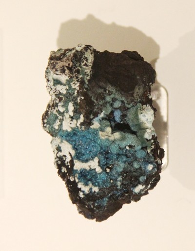
| Description | The Amador County Gem & Mineral Society, Inc., is a non-profit organization created to study mineralogy and geology and to collect minerals. Our mission is to practice lapidary arts and promote interest and appreciation in the earth sciences and allied subjects. |
| Areas of interest | Minerals, Fossils, Gemology, Lapidary, Geology (General) |