|
Australia | |
- Australian Capital Territory
| McQueen, Ken G.
J. R. Caldwell
P. W. Millsteed (July 1988). "Primary and Secondary Minerals at the Paddy's River Mine, Australian Capital Territory". Australian Mineralogist 3: 83–100. |
|
| Fitzpatrick, K.R. (1979) Mine Data Sheets to accompany Metallogenic Map Cootamundra 1:250,000 Sheet SI 55-11. Geological Survey of New South Wales, Department of Mineral Resources and Development. |
|
| www.amonline.net.au (2004) http://www.amonline.net.au/geoscience/minerals/localities.htm |
|
| Gilligan, L.B., Byrnes, J.G. (1995) Cobar Metallogenic Map 1:250 000. Metallogenic Study and Mineral Deposit Data Sheets SH/55-14. Geological Survey of New South Wales |
|
| Gilligan, L.B., Byrnes, J.G. (1995) Cobar Metallogenic Map 1:250 000. Metallogenic Study and Mineral Deposit Data Sheets SH/55-14. Geological Survey of New South Wales |
|
| Byrnes, J.G. (1993) Bourke 1:250 000 Metallogenic Map (SH/55-10): Metallogenic Study and Mineral Deposit Data Sheets. Geological Survey of New South Wales, Sydney, 127p. |
|
| Bowman, H.N., Richardson, S.J., and Dolanski, J. (1979) Narromine 1:250000 Metallogenic Study Map SI-55-3 Mine Data Sheets and Metallogenic Study. Published by Geological Survey of N.S.W. |
|
| Australian Journal of Mineralogy (11) 120 (2005) |
|
| Gilligan, L.B., Suppel, D.W. (1993) Nymagee Metallogenic Map 1:250 000 . Metallogenic Study and Mineral Deposit Data Sheets SI/55-2. Geological Survey of New South Wales |
|
| Gilligan, L.B., Suppel, D.W. (1993) Nymagee Metallogenic Map 1:250 000 . Metallogenic Study and Mineral Deposit Data Sheets SI/55-2. Geological Survey of New South Wales |
|
| Graham, I. T., Pogson, R., Colchester, D. M. and McKinnon, A. R. (2005): Secondary minerals of the Mineral Hill field. Australian Journal of Mineralogy, 11, 101-116. |
|
| Gilligan, L.B., Suppel, D.W. (1993) Nymagee Metallogenic Map 1:250 000 . Metallogenic Study and Mineral Deposit Data Sheets SI/55-2. Geological Survey of New South Wales |
|
| Scott, K. M. (2003, June). Weathering of base metal deposits, Western Lachlan Fold Belt. In MINERALS EXPLORATION SEMINAR (p. 34).
Gilligan, L.B., Suppel, D.W. (1993) Nymagee Metallogenic Map 1:250 000 . Metallogenic Study and Mineral Deposit Data Sheets SI/55-2. Geological Survey of New South Wales |
|
| Museum Victoria Mineralogy Collection |
|
| McKinnon, A.R., Sharpe, J.L., Williams, P.A. (2005) Other notable mineral occurrences in the Cobar region. Australian Journal of Mineralogy, 11, 117-121. |
|
| Gilligan, L.B., Suppel, D.W. (1993) Metallogenic Study and Mineral Deposit Data Sheets: Nymagee 1:250 000 Metallogenic Map (SI/55-2). Geological Survey of New South Wales, Sydney, 171 p. |
|
| Gilligan, L.B., Suppel, D.W. (1993) Metallogenic Study and Mineral Deposit Data Sheets: Nymagee 1:250 000 Metallogenic Map (SI/55-2). Geological Survey of New South Wales, Sydney, 171 p. |
|
| Gilligan, L.B., Suppel, D.W. (1993) Metallogenic Study and Mineral Deposit Data Sheets: Nymagee 1:250 000 Metallogenic Map (SI/55-2). Geological Survey of New South Wales, Sydney, 171 p. |
|
| Gilligan, L.B., Suppel, D.W. (1993) Metallogenic Study and Mineral Deposit Data Sheets: Nymagee 1:250 000 Metallogenic Map (SI/55-2). Geological Survey of New South Wales, Sydney, 171 p. |
|
| Specimen 4186 in the University of Adelaide collection. |
|
| Gilligan, L.B., Byrnes, J.G. (1995) Cobar Metallogenic Map 1:250 000. Metallogenic Study and Mineral Deposit Data Sheets SH/55-14. Geological Survey of New South Wales |
|
| Gilligan, L.B., Byrnes, J.G. (1995) Cobar Metallogenic Map 1:250 000. Metallogenic Study and Mineral Deposit Data Sheets SH/55-14. Geological Survey of New South Wales |
|
| Leverett, P., McKinnon, A. R., Sharpe, J. L. and Williams, P. A. (2005) Secondary minerals from the central Cobar mines. Australian Journal of Mineralogy, 11, 75-82. |
|
| Gilligan, L.B., Byrnes, J.G. (1995) Cobar Metallogenic Map 1:250 000. Metallogenic Study and Mineral Deposit Data Sheets SH/55-14. Geological Survey of New South Wales |
|
| Gilligan, L.B., Byrnes, J.G. (1995) Cobar Metallogenic Map 1:250 000. Metallogenic Study and Mineral Deposit Data Sheets SH/55-14. Geological Survey of New South Wales |
|
| Wagga Wagga Mine Data Sheets, 1982 |
|
| University of Adelaide Collection # 21560 |
|
| specimens purchased from NSW-based collector |
|
| |
|
| |
|
| |
|
| |
|
| |
|
| |


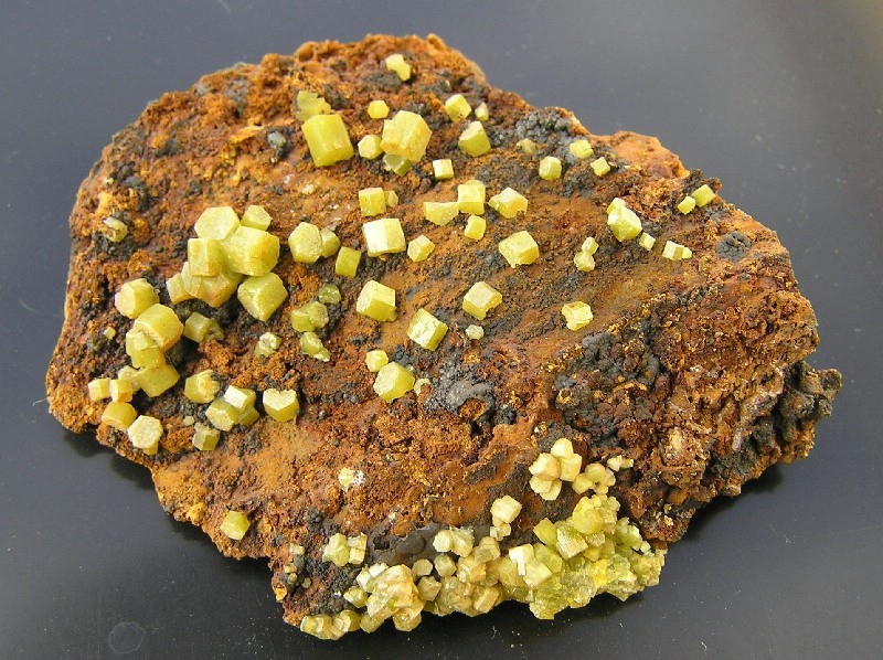


Mount Stewart Mine, Leadville, Bligh Co., New South Wales, Australia