 | | Report (volume) | | . 234 " y { " ,-t .. .~,:",. I " , COLORADO "or.! _ +, (~ STATE OF .~ :'(' COL~ADO /... BULLETIN 40 RADIOACTIVE MINERAL OCCURRENCES OF COLORADO AND BlaLlllGRAPHY by James L. Nelson-Moore,...Energy COLORADO GEOLOGICAL SURVEY DEPARTMENT OF NATURAL RESUURCES STATE OF COLORADO DENVER, COLORADO 1978...ete 11 st r ng of rad i aaet 1ve occurrences 1n Colorado, with a comprehensive blbi iography and bibliographic...association of radium, uranium. and vanadIum on the Colorado Plateau sparked several periods of exploratIon |  | | Report (issue) | | COLORADO GEOLOGICAL SURVEY BOULDER R. D. GEOqGE, State Geologi.t BULLETIN 22 MINERAL DEPOSITS OF THE...oozi5137 EAME"S BROS, STATE PRINTERS FOR COLORADO DENVER. COLORADO GEOLOGICAL B O A R D His Excellency...Shoup George Norlin Governor of Colorado President University of Colorado Victor C. Aldersox.. Charles...TRANSMITTAL State Geological Survey, Uxiversity of Colorado, October 28, 1920. Governor Oliver H. Shoup. Chairman...honor to transmit herewith Bulletin 22 of the Colorado Geological Survey. Very respectfully, R. D. George |  | | Report (volume) | | CHARLES D. WALCOTT, DIRECTOR A GAZE~?TEER OF COLORADO BY HEN.R Y GANNETT WASHINGTON GOVERNMENT PRINTING... _A GAZETTEER OF COLORADO. By HENRY ' GANNET,T. GENERAL DESCRIPTION. Colorado is_situated about midway...GAZETTEER OF COLORADO. through the Park Range on its way to join Green River, forming the Colorado. Middle...Mexico, the San Juan flo wing westward to the Colorado, and many branches of Gran9. and Gunnison rivers...plateau region is drained entirely by tributaries of Colorado River. The higher of these plateaus are well watered |  | | Report (volume) | | 1 uranium mine, Seven Mile Canyon area, Grand County, Utah: TEI-287, Jan. 11, 1954. GJ, SL. Fischer...exploration at the Old Leyden coal mine, Jefferson County, Colo.: TEM-292, Mar. 30, 1953. D, GJ. Hinrichs...The pegmatites of the Errington-Thiel mine, Elko County, Nevada: TEI-71, Dec. 28, 1949. Office of Director...Ridge, and West End claims near Clancy, Jefferson County, Mont.: TEM-31, Oct. 19, 1951. D, SL, T. (332,...and structure of the Miners Mountain area, Wayne County, Utah: Aug. 17, 1953. SL. McKelvey, V. E., Preliminary |  | | Report (issue) | | Geology and Petrology of the Ute Mountains Area Colorado GEOLOGICAL SURVEY PROFESSIONAL Prepared on... Geology and Petrology of the Ute Mountains Area Colorado By E. B. EKREN and F. N. HOUSER GEOLOGICAL SURVEY...petrology of a laccolithic mountain range on the Colorado Plateau UNITED STATES GOVERNMENT PRINTING OFFICE...--------- In pocket Index map of southwestern Colorado showing quadrangles in the Ute Mountains area...at the Cliff House prospect, McElmo Canyon, Montezuma County, Colo____________________________________ |  | | Report (issue) | | Indian Reservation and Adjacent Areas, Southwestern Colorado and Northwestern New Mexico By STEVEN M. CONDON...Indian Reservation and adjacent areas, southwestern Colorado and northwestern New Mexico / by Steven M. Condon...Supt. of Docs, no.: I 19.16: 1505-A 1. Geology Colorado Southern Ute Indian Reservation. 2. Geology, Stratigraphic...Indian Reservation and adjacent areas, southwestern Colorado and northwestern New Mexico ....................INDIAN RESERVATION AND ADJACENT AREAS, SOUTHWESTERN COLORADO AND NORTHWESTERN NEW MEXICO By STEVEN M. CONDON |  | | Report (volume) | | Resources of the Mesa Verde Area Montezuma and La Plata Counties, Colorado GEOLOGICAL SURVEY BULLETIN ...Resources of the Mesa Verde Area Montezuma and La Plata Counties, Colorado By ALEXANDER A. WANEK CONTRIBUTIONS...4. Sedimentary rocks of the La Plata district, Colorado- _______ 5. Analyses of coals in the Mesa Verde...RESOURCES OF THE MESA VERDE AREA, MONTEZUMA AND LA PLATA COUNTIES, COLORADO By ALEXANDER A. WANEK ABSTRACT...Juan Basin in Montezuma and La Plata Counties, Colorado. The area lies within the Colorado Plateaus province |  | | Journal (issue) | | up a substantial portion of the bedrock of Wood County. Although this particular site has not been dated...approximately 0.5 mm high, Schill Quarry, Vesper, Wood County, WI, photo by Dan Behnke. New Finds from Peru...by the Gem & Mineral Council of the Los Angeles County Museum of Natural History. This was the results...dealers who sell books, or contact the Los Angeles County Museum at 213-763-3326 or on the web at http://nhm...News, P.O. Box 2043, Coeur d'Alene, ID 83816-2043 USA Phone:208-664-2448 E-mail: lanny@mineralnews.com |  | | Report (issue) | | SOURCES FOR GROUND-WATER HYDROLOGY AND GEOLOGY OF COLORADO WEST OF THE CONTINENTAL DIVIDE By Edward R. Banta...in cooperation with the COLORADO WATER CONSERVATION BOARD Denver, Colorado 1992 U.S. DEPARTMENT OF...geologic data for wells and test holes in western Colorado- - ________ _ ____ 111 3 BIBLIOGRAPHY, INDEX...SOURCES FOR GROUND-WATER HYDROLOGY AND GEOLOGY OF COLORADO WEST OF THE CONTINENTAL DIVIDE By Edward R. Banta...for development of the ground-water resources in Colorado west of the Continental Divide is great; however |  | | Report (issue) | | and Vicinity San Miguel and Dolores Counties, Colorado GEOLOGICAL SURVEY PROFESSIONAL Prepared on...and Vicinity San Miguel and Dolores Counties, Colorado By DANIEL R. SHAWE, GEORGE C. SIMMONS, and NORBERT...ROCK DISTRICT SAN MIGUEL AND DOLORES COUNTIES, COLORADO GEOLOGICAL SURVEY PROFESSIONAL PAPER S76-A...mine waters in the Slick Rock district, San Miguel County, Colo___ _Evolution of current stratigraphic terminology...ROCK DISTRICT, SAN MIGUEL AND DOLORES COUNTIES, COLORADO STRATIGRAPHY OF SLICK ROCK DISTRICT AND VICINITY |  | | Report (issue) | | Formation of northern New Mexico and southwestern Colorado: Marine or nonmarine? D. W. Kirkland', R. E...influencing the isotopic ratio of Todilto limestone and gypsum 27 Concentration and isotopic ratio of strontium...values for Todilto and Ralston Creek stone Member 22 gypsum 31 2—Strontium isotopic data from Todilto and Ralston...2—Approximate depositional limits of Todilto Limestone and Gypsum Members and Ralston Creek Formation 6 3—Thin section...of Todilto transition zone 8 6—Thin section of gypsum nodules and bands of satin 8 spar, Todilto transition |  | | Report (issue) | | the Ute Mountain Ute Reservation, Southwestern Colorado and Northwestern New Mexico U.S. GEOLOGICAL SURVEY...306, Federal Center Denver, CO 80225 LAKEWOOD, Colorado-Federal Center, Bldg. 810 Subscriptions to periodicals...the Ute Mountain Ute Reservation, Southwestern Colorado and Northwestern New Mexico By PAULA L. HANSLEY...the Ute Mountain Ute Reservation, southwestern Colorado and northwestern New Mexico / by Paula L. Hansley...THE UTE MOUNTAIN UTE RESERVATION, SOUTHWESTERN COLORADO AND NORTHWESTERN NEW MEXICO By Paula L. Hansley |  | | Journal (article/letter/editorial) | | Syracuse, NY 13201; 315/682-9241. July 6, 7—Cortez, Colorado. 17th Annual Gem & Mineral Show sponsored by the...the Ute Mountain Gem & Mineral Society. Montezuma County Annex Bldg., 103 N. Chestnut. Info.—John Ferrin...Mineral & Jewelry Festival sponsored by the Oxford County Mineral & Gem Association. Oxford Fair ground...July 20, 21—Colorado Springs, Colorado. 27th An niversary Show sponsored by the Colorado Springs Mineralogical...Streets. Info.—Wayne Hall, 5085 Escapardoway, Colorado Springs, CO 80917. Jury 20, 21—Reno, Nevada. 27th |  | | Journal (issue) | | TwinnedFornacite from the Singer Mine, Goodsprings, Clark County, Nevada Paul M. Adams 126 S. Helberta Ave. #2 Redondo...7 miles (11 km) southwest of Goodsprings, Clark County, Nevada. Goodsprings is located 7 miles west of...production shafts, at the Brushy Creek Mine, Reynolds County, MO. 2 l\1inernl News Mny 1998 If you've bought...News, P.O. Box 2043, Coeur d'Alene, ID 83816-2043 USA Phone: 208-664-2448 E-mail: lream@comtch.iea.com...1112 feet across in the Fletcher Mine, Reynolds County, Missouri. octahedral galena, late-stage, lustrous |  | | Report (issue) | | Regional Geophysical Investigations in the Central Colorado Plateau GEOLOGICAL SURVEY PROFESSIONAL PAPER... Regional Geophysical Investigations in the Central Colorado Plateau By ]. E. CASE and H. R. JOESTING GEOLOGICAL...Geophysical surveys Continued Area west of the Green and Colorado Rivers. .... San Rafael Swell. .................Gravity anomaly map of the central Colorado Plateau, Utah, Colorado, Arizona, and New Mexico........In...In pocket 2. Aeromagnetic map of the central Colorado Plateau.................................... ... |  | | Report (volume) | | limestone with fossils. Massive lenticular beds of gypsum. Unit B; Bluish-gray and red gypsiferous shale...thin-bedded limestone which weathers brown, red shale, gypsum in thin lenticular beds; or gray thin-bedded argillaceous...argillaceous limestone with massive lenticular beds of gypsum. In general, unit A consists of Spieker's type...Limestone. The intercalated sequence includes the Gypsum Spring, Sliderock, Rich, Boundary Ridge, and Watton...Watton Canyon Members of the Twin Creek. This Gypsum Spring-Watton Canyon sequence of beds, separating |  | | Journal (issue) | | Quarry Mine, Eureka County, Nevada. from the Radersburg District, Broadwater County, Montana Mike Hedtke...small wulfcnite crystals found at the Broadwater County, Montana (Sec. 28, T 5 N, R 1 W), some interesting...F. Kunz Competition Papers, four articles on NE USA mineral occurrences. 73 pages, 55 illu tra1ions,...George F. Kunz Competition Papers, six articles on NE USA mineral occurrences, 84 pages, $ I 0.00 Add $3.00...News, P.O. Box 2043, Coeur d'Alene, ID 83816-2043 USA Phone: 208-664-2448 Email: lanny@mineralnews.com | 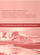 | | Report (volume) | | the Pennsylvanian Paradox Formation, Utah and Colorado A Record of Deposition and Diagenesis of Repetitive...View south toward the La Sal Mountains along the Colorado River between Cisco and Moab, Utah. Fisher Towers...the Pennsylvanian Paradox Formation, Utah and Colorado A Record of Deposition and Diagenesis of Repetitive...the Pennsylvanian Paradox Formation, Utah and Colorado : a record of deposition and diagenesis of repetitive...Geochemistry Colorado. 3. Sedimentation and deposition Utah. 4. Sedimentation and deposition Colorado. 5. Diagenesis |  | Ridgley, Jennie L., Green, M.W., Pierson, C.T., Finch, W.I., Lupe, R.D. (1978) Summary of the geology and resources of uranium in the San Juan Basin and adjacent region, New Mexico, Arizona, Utah, and Colorado. Open-File Report Vol. 1978 (78-964) US Geological Survey doi:10.3133/ofr78964 | Report (issue) | | ADJACENT 'REGION, NEW MEXICO, ARIZONA, UTAH & COLORADO I , J.L. Ridgley, et. al. 1978 US. 6EOL~ ~RD..._. ·5 • ALBU~U~~QUE, N. A~IZONA, UTAH, AND COLORADO By Jennie L. Ridgley, Morris W. Green, Charles...the San Juan Basin and adjacent region, Arizona, Colorado, New Mexico, and Utah 2. Preliminary map showing...ADJACENT REGION, NEW MEXICO, ARIZONA, UTAH, AND COLORADO By Jennie L. Ridgley, Morris W. Green, Charles...predominantly the uranium-rich Colorado Plateau of New Mexico, Arizona, Utah, and Colorado. Precambrian lie eroded |  | | Report (volume) | | New York. Colorado Geological Survey: Bulletins 11, 15, 17-19, 23, 24. Denver, Colo. Colorado School of...9, 10; Quarterly, vols. 14, 15. Golden, Colo. Colorado Scientific Society: Proceedings, vol. 11, pp....Boletin de Miuas, nos. 5, 6. Habana, Cuba. Delaware County Institute of Science: Proceedings, vol. 8, no....Virginia Geological Survey: County Reports, Fayette County, Wehster County. Morganton, W. Va. Wisconsin...1920]. (with Wiuton, W. M.). The geology of Tarrant County: Texas, Univ., Bull. no. 1931, 123 pp., 6 pis. |  | | Journal (issue) | | Mineralsfrom the MidstateQuarry Magnet Cove, Hot Spring County, Arkansas Art Smith 9118 Concho Houston, Texas...mmlong, Midstate Quarry, Magnet Cove, Hot Spring County, Arkansas, photo by the author. Middle& PolarUrals...material, Midstate Quarry, Magnet Cove, Hot Spring County, Arkansas, photo by the author. these came from...News, P.O. Box 2043, Coeur d'Alene, ID 83816-2043 USA Phone: 208-664-2448 E-mail: lream@comtch.iea.com...chalcosiderite, and crystals from the Coon Creek Mine, Polk County, AR have proven to be ferroan turquoise overgrowths |  | | Catalog/List | | Fairfield County, Branchville White xlline with cymatolite, good study ... New Mexico Taos County, near Dixon...cerium aluminum silicate California Los Angeles County, Pacoima Canyon Large black tabular crystals in...iron silicate ACTINOLITE California San Bernardino County, Wrightwood Green prismatic crystalline mass ....CROSSITE Sodium iron silicate California San Benito County, Gem mine Compact blue-gray mass with natrolite...sodium potassium alumino-silicate Arizona Final County, Christmas Dark green cleavages in andesite .. |  | | Report (issue) | | Series 30 Bibliography and Index of Colorado Geology, 1984-1989 Colorado Geological Survey Department of...Resources Denver, Colorado 1990 Information Series 30 Bibliography and Index of Colorado Geology, 1984-1989...Institute under contract to the Colorado Geological Survey Colorado Geological Survey Department of...of Natural Resources Denver, Colorado 1990 ii FOREWORD In recognition of the need to more effectively...published literature on the state's geology, the Colorado Geological Survey is pleased to release Information |  | | Report (volume) | | ............................................. Colorado.................................................especially from those of Arkansas, California, Colorado, New Mexico, Oregon, South Dakota, Tennessee,...minerals and rocks, their occurrence and uses: Colorado State Geol. Survey Bull. 6, 1913. 8 USEFUL...See Bauxite and Halloysite. Asbestos. Tallapoosa County, with corundum deposits near Dudleyville; not found...commercial quantity or quality. Asphalt. Colbert County, small quantity has been shipped from near Leighton; |  | | Report (volume) | | A. F. Rogers, Stanford University, Palo Alto. Colorado.........Prof. R. D. George, Boulder. Connecticut...See Bauxite and Hallpysite. Asbestos. Tallapoosa County, with corundum deposits near Dudleyville; not found...commercial quantity or quality. Asphalt. Colbert County, small quantity has been shipped from near Leighton;...following localities: Bibb County, Pratts Ferry; Calhoun County, near Tampa; Clay County, T. 20, Pv. 7 E.; Jefferson...Jefferson County, at Elyton; Lee County, at Chewacla lime works; St. Clair County, at Gfeensport; Shelby |
|
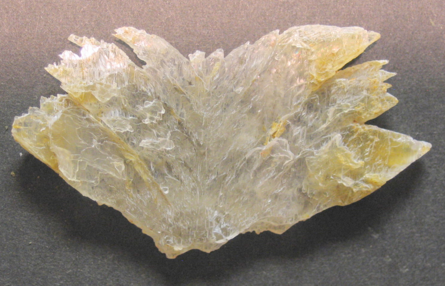


Mancos Canyon, Ute Mountain Ute Reservation, Montezuma County, Colorado, USA