Burtree Pasture Mine (Breckonsyke Mine; Broadmea Mine), Cowshill, Stanhope, County Durham, England, UKi
| Regional Level Types | |
|---|---|
| Burtree Pasture Mine (Breckonsyke Mine; Broadmea Mine) | Mine |
| Cowshill | Village |
| Stanhope | Civil Parish |
| County Durham | County |
| England | Constituent Country |
| UK | Country |
Burtree Pasture Mine (Breckonsyke Mine; Broadmea Mine), Cowshill, Weardale, County Durham, England, UK
This page is currently not sponsored. Click here to sponsor this page.


Latitude & Longitude (WGS84):
54° 45' 58'' North , 2° 13' 3'' West
Latitude & Longitude (decimal):
UK National Grid Reference:
NY860413
Type:
Köppen climate type:
Nearest Settlements:
| Place | Population | Distance |
|---|---|---|
| Stanhope | 1,602 (2017) | 13.0km |
| Allendale Town | 709 (2017) | 14.8km |
| Alston | 1,105 (2018) | 15.0km |
| Frosterley | 636 (2017) | 17.2km |
| Middleton in Teesdale | 934 (2017) | 17.9km |
Mindat Locality ID:
838
Long-form identifier:
mindat:1:2:838:8
GUID (UUID V4):
791ef387-7a3e-468e-b19e-59b04946cd17
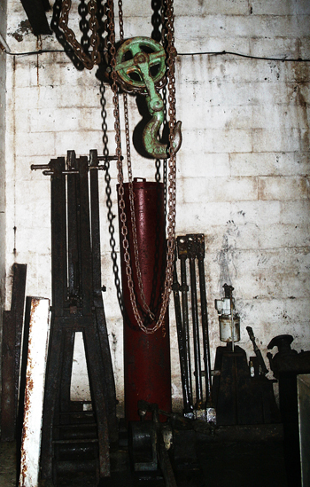
Located just north of the village of Cowshill, Burtree Pastures was one of the largest lead-producing mines in Weardale during the 19th century. The mine was reopened during the 1970s in a somewhat less successful search for fluorspar.
A note about the current situation of this location. On a recent visit to Burtree I was challenged by a gentleman claiming to be the land owner. The situation is this : You can access Burtree Pastures on foot via the track road at Cowshill. Once you come off the main road you are then in a transport yard with a gate directly in front of you. There is a sign stating access to burtree pastures but "No Vehicles" are allowed through the gate. This is a public right of way. However, do not stray from the path ( as i did) and do not take anything from the land at either side of the path,( as i did) because technically you would be both trespassing and stealing. The forementioned gentleman pointed out these facts but was lenient on this occasion and allowed me to go on my way.
Select Mineral List Type
Standard Detailed Gallery Strunz Chemical ElementsDetailed Mineral List:
| ⓘ Fluorite Formula: CaF2 |
| ⓘ Galena Formula: PbS |
| ⓘ Quartz Formula: SiO2 References: |
| ⓘ Siderite Formula: FeCO3 References: |
| ⓘ Sphalerite Formula: ZnS |

List of minerals arranged by Strunz 10th Edition classification
| Group 2 - Sulphides and Sulfosalts | |||
|---|---|---|---|
| ⓘ | Sphalerite | 2.CB.05a | ZnS |
| ⓘ | Galena | 2.CD.10 | PbS |
| Group 3 - Halides | |||
| ⓘ | Fluorite | 3.AB.25 | CaF2 |
| Group 4 - Oxides and Hydroxides | |||
| ⓘ | Quartz | 4.DA.05 | SiO2 |
| Group 5 - Nitrates and Carbonates | |||
| ⓘ | Siderite | 5.AB.05 | FeCO3 |
List of minerals for each chemical element
| C | Carbon | |
|---|---|---|
| C | ⓘ Siderite | FeCO3 |
| O | Oxygen | |
| O | ⓘ Quartz | SiO2 |
| O | ⓘ Siderite | FeCO3 |
| F | Fluorine | |
| F | ⓘ Fluorite | CaF2 |
| Si | Silicon | |
| Si | ⓘ Quartz | SiO2 |
| S | Sulfur | |
| S | ⓘ Galena | PbS |
| S | ⓘ Sphalerite | ZnS |
| Ca | Calcium | |
| Ca | ⓘ Fluorite | CaF2 |
| Fe | Iron | |
| Fe | ⓘ Siderite | FeCO3 |
| Zn | Zinc | |
| Zn | ⓘ Sphalerite | ZnS |
| Pb | Lead | |
| Pb | ⓘ Galena | PbS |
Other Regions, Features and Areas containing this locality
British and Irish IslesGroup of Islands
Eurasian PlateTectonic Plate
EuropeContinent
UK
- England
- County Durham
- WeardaleRiver Valley
- North Pennines AreaArea of Outstanding Natural Beauty
- Northern Pennine OrefieldOre Field
- The PenninesRange of Mountains and Hills
- County Durham
This page contains all mineral locality references listed on mindat.org. This does not claim to be a complete list. If you know of more minerals from this site, please register so you can add to our database. This locality information is for reference purposes only. You should never attempt to
visit any sites listed in mindat.org without first ensuring that you have the permission of the land and/or mineral rights holders
for access and that you are aware of all safety precautions necessary.
References


Burtree Pasture Mine, Cowshill, Stanhope, County Durham, England, UK