| Locality type: | Quarry |
| Classification |
|---|
|
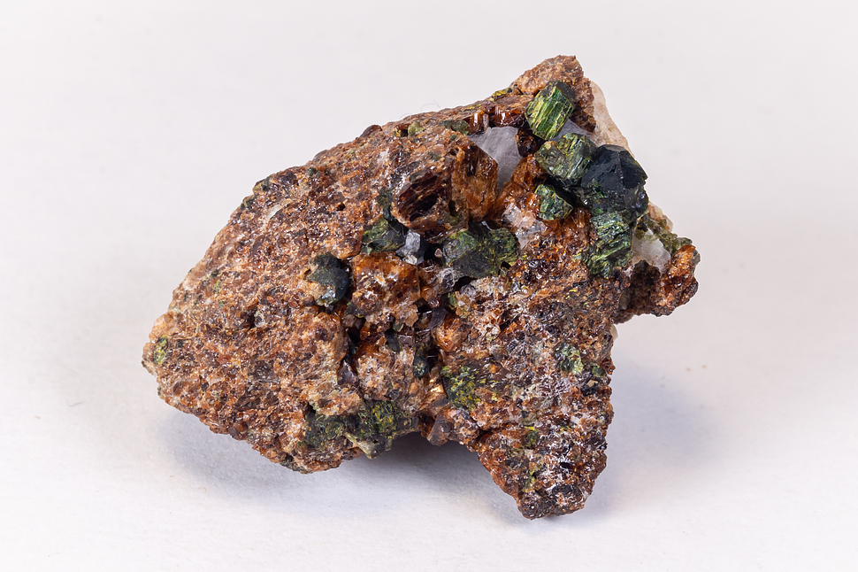
| Species: | Epidote |
| Formula: | (CaCa)(AlAlFe3+)O[Si2O7][SiO4](OH) |
| Confirmation |
|---|
|
| Validity: | Believed Valid |
| Associated Minerals: |
|---|
|
| Associates: | Prehnite
|
| Associated Minerals Based on Photo Data: |
|---|
|
| Garnet Group | ⓘ1 photo of Epidote associated with Garnet Group at this locality. |
| Data |
|---|
|
| Mineral Data: | Click here to view Epidote data |
| Locality Data: | Click here to view Old City Quarry (City Quarry; North Hill Quarry; Quarry Hill; Fairmount), Riverside, Riverside County, California, USA |
| Photo Gallery | View Gallery (3 photos) |
| Data Identifiers |
|---|
|
| Mindat Occurrence Record ID: | 546586 |
| Long-form Identifier: | 1:3:546586:6 |
| GUID (UUID V4): | c09d8da6-bccf-4f61-810a-e753e26ef714 |
| Nearest other occurrences of Epidote |
|---|
|
|
| 3.3km (2.1 miles) | ⓘCommercial Quarry, Sky Blue Hill, Crestmore quarries, Crestmore, Jurupa Valley, Riverside County, California, USA |
| 5.9km (3.7 miles) | ⓘHenshaw Quarry, Bloomington, San Bernardino County, California, USA |
| 6.2km (3.8 miles) | ⓘJensen Quarry, Jurupa Mountains, Jurupa Valley, Riverside County, California, USA |
| 7.5km (4.6 miles) | ⓘBox Springs Mountains, Riverside County, California, USA |
| 22.9km (14.2 miles) | ⓘBadger Canyon occurrence, Marshall Peak, San Bernardino, San Bernardino County, California, USA |
| 30.9km (19.2 miles) | ⓘCucamonga Mine (Cucamonga Zinc Mine; Blew Jordam Mine), Cucamonga Peak, Lytle Creek District, San Bernardino County, California, USA |
| 35.9km (22.3 miles) | ⓘCascade Canyon, San Bernardino County, California, USA |
| 41.9km (26.1 miles) | ⓘBundy-Murrieta deposit, Menifee, Menifee Mining District (Auld Mining District), Riverside County, California, USA |
| 45.8km (28.5 miles) | ⓘHeath Canyon occurrences, Wrightwood, San Bernardino County, California, USA |
| 49.7km (30.9 miles) | ⓘBlue Boy and Black Mountain group, Mount Edna, San Jacinto Mountains, Riverside County, California, USA |
| References |
|---|
|
|


Old City Quarry, Riverside, Riverside County, California, USA