| Locality type: | Quarry |
| Classification |
|---|
|
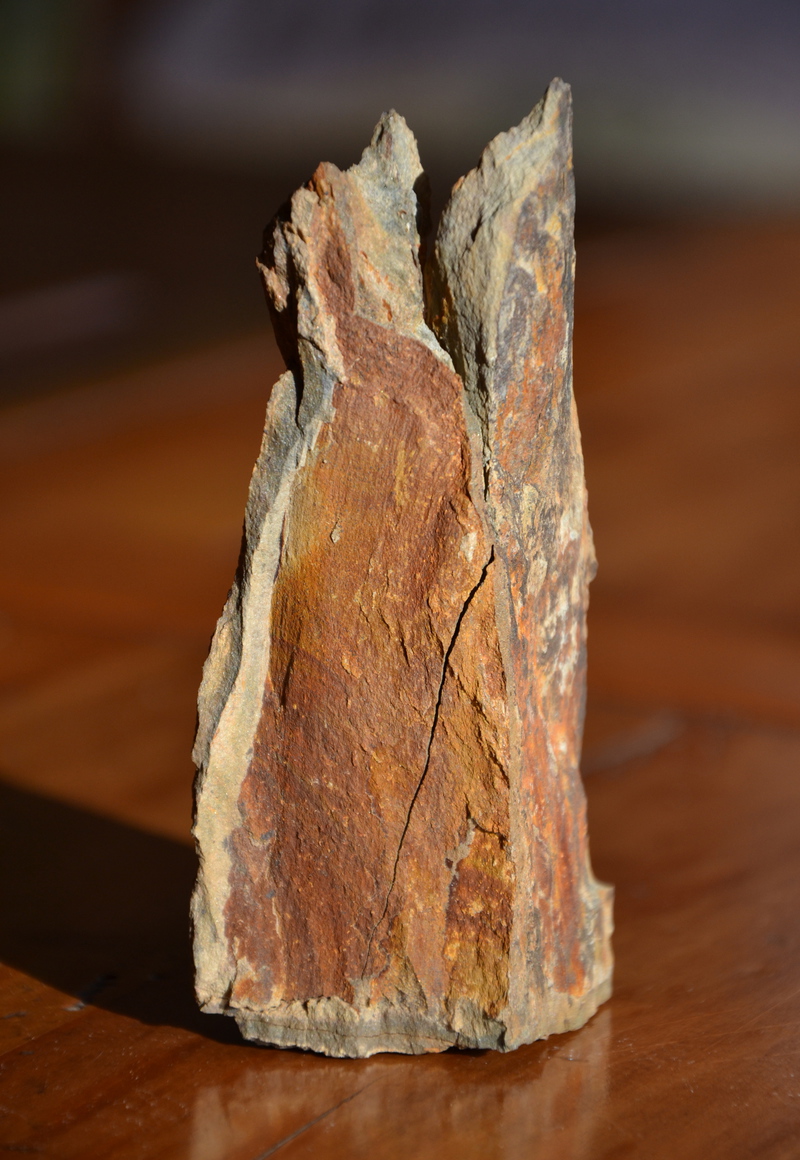
| Type: | Schist |
| Confirmation |
|---|
|
| Validity: | Confirmed |
| Confirmation Methods: | Visually Identified |
| Data |
|---|
|
| Mineral Data: | Click here to view Schist data |
| Locality Data: | Click here to view S.A.M. schist quarry, Montauriol, Céret, Pyrénées-Orientales, Occitanie, France |
| Data Identifiers |
|---|
|
| Mindat Occurrence Record ID: | 1078975 |
| Long-form Identifier: | 1:3:1078975:3 |
| GUID (UUID V4): | 4f7d19fc-b5bf-491a-9139-e1954fa94f9a |
| Nearest other occurrences of Schist |
|---|
|
|
| 2.5km (1.5 miles) | ⓘHostalets schist quarry, Montauriol, Céret, Pyrénées-Orientales, Occitanie, France |
| 4.4km (2.7 miles) | ⓘPla del Mener, Llauro, Céret, Pyrénées-Orientales, Occitanie, France |
| 29.2km (18.2 miles) | ⓘBallaury pass, Banyuls-sur-Mer, Céret, Pyrénées-Orientales, Occitanie, France |
| 33.5km (20.8 miles) | ⓘCap Béar peninsula, Port-Vendres, Céret, Pyrénées-Orientales, Occitanie, France |
| 35.1km (21.8 miles) | ⓘTorre de Querroig, Cerbère, Céret, Pyrénées-Orientales, Occitanie, France |
| 35.1km (21.8 miles) | ⓘCol de Cerbère, Cerbère, Céret, Pyrénées-Orientales, Occitanie, France |
| 36.6km (22.7 miles) | ⓘCostabonne mines (Costabona mines), Prats-de-Mollo-la-Preste, Céret, Pyrénées-Orientales, Occitanie, France |
| 55.6km (34.5 miles) | ⓘSes Orgues mica mine, Cap de Creus, Cadaqués, Girona, Catalonia, Spain |
| 55.6km (34.5 miles) | ⓘCap de Creus, Cadaqués, Girona, Catalonia, Spain |
| 98.6km (61.3 miles) | ⓘLlorts Mine, Llorts, Ordino, Andorra |
| References |
|---|
|
|


S.A.M. schist quarry, Montauriol, Céret, Pyrénées-Orientales, Occitanie, France