| Locality type: | Quarry |
| Classification |
|---|
|
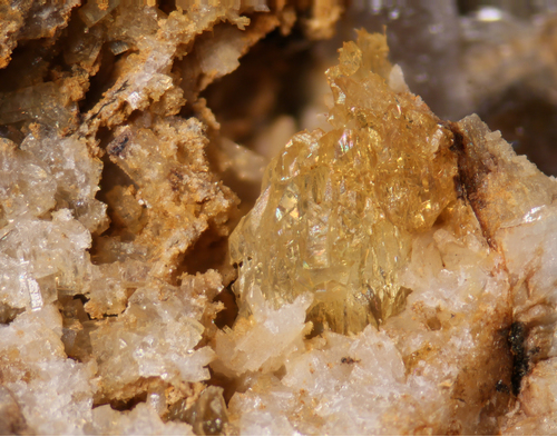
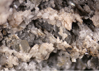
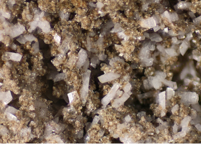
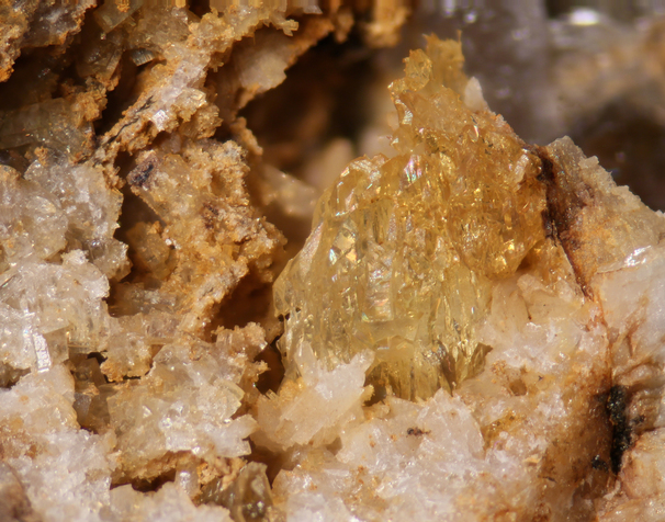
| Species: | 'K Feldspar' (not an IMA approved species) |
| Formation: | Secondary |
| Comments: | See comments for adularia variety. |
| Colour: | white |
| Abundance at site: | Common |
| Confirmation |
|---|
|
| Validity: | Believed Valid |
| Data |
|---|
|
| Mineral Data: | Click here to view K Feldspar data |
| Locality Data: | Click here to view Biermann Quarries (Bethel quarries) and tourmaline ledge, Bethel, Fairfield County, Connecticut, USA |
| Data Identifiers |
|---|
|
| Mindat Occurrence Record ID: | 1211766 |
| Long-form Identifier: | 1:3:1211766:8 |
| GUID (UUID V4): | 72391c21-14ad-43d3-8907-bece21ebed03 |
| Nearest other occurrences of K Feldspar |
|---|
|
|
| 9.9km (6.1 miles) | ⓘDanbury, Fairfield County, Connecticut, USA |
| 11.4km (7.1 miles) | ⓘU. S. Route 7 Expressway (Danbury line to Iron Works District), Brookfield, Fairfield County, Connecticut, USA |
| 12.2km (7.6 miles) | ⓘOld Mine Plaza construction site, Long Hill, Trumbull, Fairfield County, Connecticut, USA |
| 14.5km (9.0 miles) | ⓘIlmenite locality, Bridgewater, Litchfield County, Connecticut, USA |
| 15.9km (9.9 miles) | ⓘState Route 25 road cuts, Trumbull, Fairfield County, Connecticut, USA |
| 21.8km (13.5 miles) | ⓘState Route 67 construction site, Oxford, New Haven County, Connecticut, USA |
| 22.2km (13.8 miles) | ⓘDerby, New Haven County, Connecticut, USA |
| 23.8km (14.8 miles) | ⓘLord Chamberlain Nursing and Rehabilitation Center (7003 Main Street; 7003 State Route 110), Stratford, Fairfield County, Connecticut, USA |
| 24.1km (15.0 miles) | ⓘBarrett Brothers Quarry (D and J Quarry), Beacon Falls, New Haven County, Connecticut, USA |
| 25.2km (15.6 miles) | ⓘTilly Foster Iron Mine, Town of Southeast, Putnam County, New York, USA |
| References |
|---|
|
|


Biermann Quarries (Bethel quarries) and tourmaline ledge, Bethel, Fairfield County, Connecticut, USA