| Locality type: | Mine |
| Classification |
|---|
|
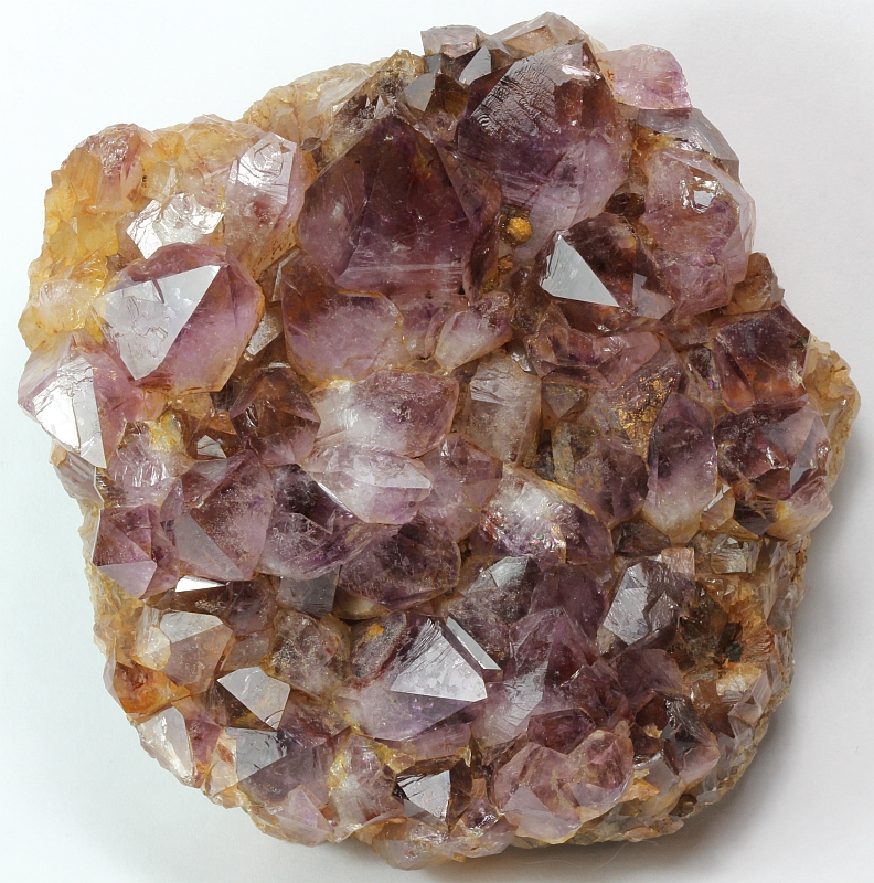
| Species: | Quartz var: Amethyst |
| Formula: | SiO2 |
| Confirmation |
|---|
|
| Validity: | Believed Valid |
| Associated Minerals Based on Photo Data: |
|---|
|
| Limonite | ⓘ1 photo of Amethyst associated with Limonite at this locality. |
| Data |
|---|
|
| Mineral Data: | Click here to view Amethyst data |
| Locality Data: | Click here to view Cherry Valley Mines (Cherry Valley No.1 and 2), Steelville, Crawford County, Missouri, USA |
| Photo Gallery | View Gallery (2 photos) |
| Data Identifiers |
|---|
|
| Mindat Occurrence Record ID: | 207548 |
| Long-form Identifier: | 1:3:207548:8 |
| GUID (UUID V4): | 238a9533-e5a1-41d8-8571-e2d9fd66b823 |
| Nearest other occurrences of Amethyst |
|---|
|
|
| 11.4km (7.1 miles) | ⓘScotia No. 1 Mine, Scotia Iron Bed Mines, Hinch, Missouri Brown Iron Belt, Crawford County, Missouri, USA |
| 27.0km (16.8 miles) | ⓘPea Ridge Mine, Washington County, Missouri, USA |
| 30.4km (18.9 miles) | ⓘMoselle No. 9 mine, Phelps County, Missouri, USA |
| 32.9km (20.4 miles) | ⓘHawkins Mine, Dent County, Missouri, USA |
| 37.3km (23.1 miles) | ⓘRueppele Iron Mine (Acid Mine), Stanton, Franklin County, Missouri, USA |
| 38.9km (24.1 miles) | ⓘPyrite Mine, Stanton, Franklin County, Missouri, USA |
| 39.9km (24.8 miles) | ⓘPlank Mine, Dent County, Missouri, USA |
| 43.4km (26.9 miles) | ⓘBurt Bank, Iron County, Missouri, USA |
| 48.1km (29.9 miles) | ⓘLeslie mine, Franklin County, Missouri, USA |
| 50.7km (31.5 miles) | ⓘBuckland mine, Phelps County, Missouri, USA |
| References |
|---|
|
|


Cherry Valley Mines, Steelville, Crawford County, Missouri, USA