| Locality type: | Quarry |
| Classification |
|---|
|
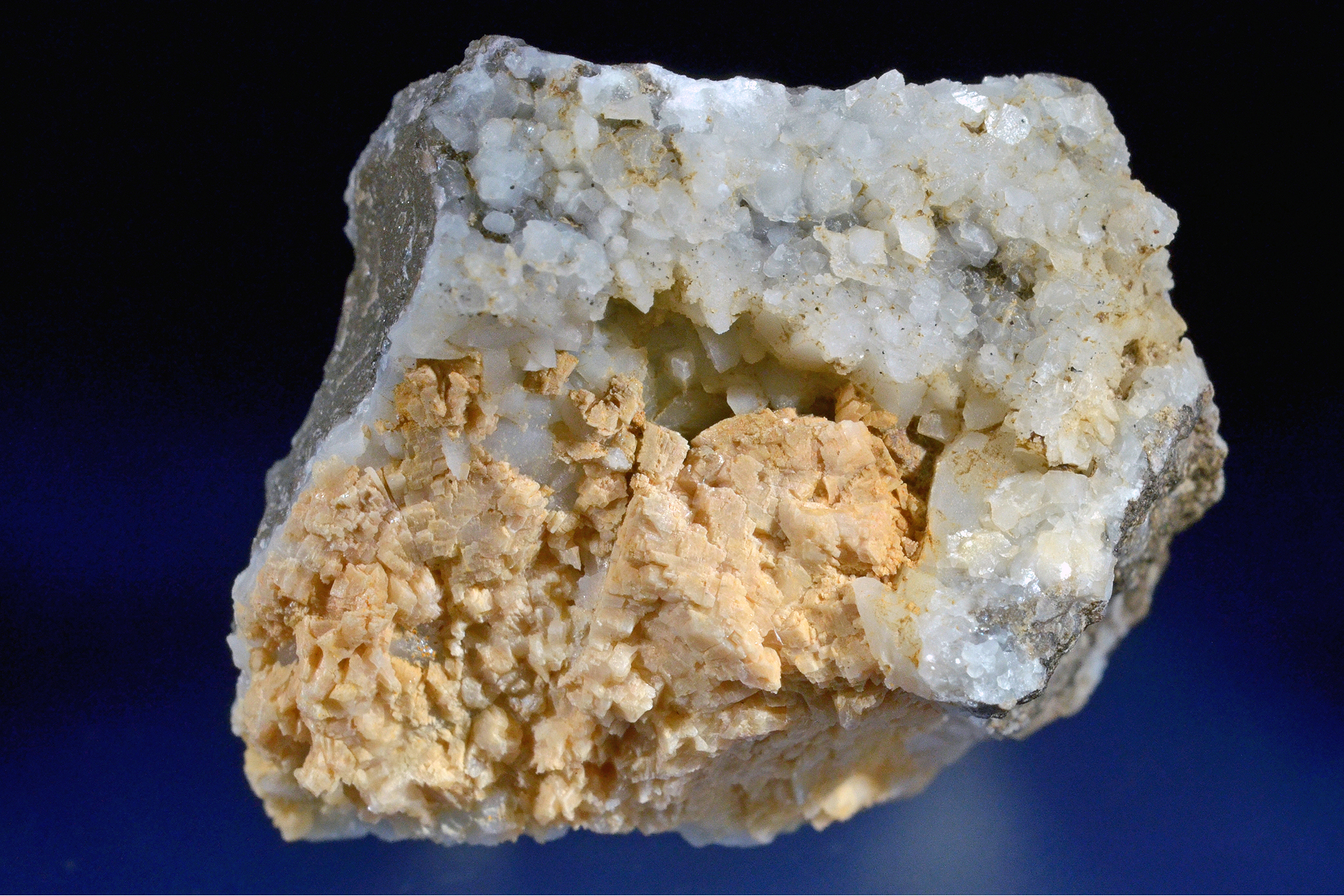
| Species: | Dolomite |
| Formula: | CaMg(CO3)2 |
| Confirmation |
|---|
|
| Validity: | Believed Valid |
| Data |
|---|
|
| Mineral Data: | Click here to view Dolomite data |
| Locality Data: | Click here to view Großauer quarry (Grossauer quarry), Reichraming, Steyr-Land District, Upper Austria, Austria |
| Data Identifiers |
|---|
|
| Mindat Occurrence Record ID: | 770892 |
| Long-form Identifier: | 1:3:770892:3 |
| GUID (UUID V4): | 3dda8deb-3f50-4eda-8446-54a7f5aa701d |
| Nearest other occurrences of Dolomite |
|---|
|
|
| 23.6km (14.7 miles) | ⓘTannberg, Spital am Pyhrn, Kirchdorf an der Krems District, Upper Austria, Austria |
| 23.8km (14.8 miles) | ⓘLainberg motorway tunnel, Sankt Pankraz, Kirchdorf an der Krems District, Upper Austria, Austria |
| 23.9km (14.9 miles) | ⓘUngerhammerplatzl (Platzl), Unterlaussa, Sankt Gallen, Liezen District, Styria, Austria |
| 33.8km (21.0 miles) | ⓘHuttererhöß, Hinterstoder, Kirchdorf an der Krems District, Upper Austria, Austria |
| 34.7km (21.6 miles) | ⓘKaswassergraben, Großreifling, Landl, Liezen District, Styria, Austria |
| 35.2km (21.9 miles) | ⓘHochbruckgraben, Großreifling, Landl, Liezen District, Styria, Austria |
| 37.8km (23.5 miles) | ⓘTraun river dam (Traun power plant), Pucking, Linz-Land District, Upper Austria, Austria |
| 41.9km (26.0 miles) | ⓘGams stratigraphic sections, Gams bei Hieflau, Landl, Liezen District, Styria, Austria |
| 42.1km (26.2 miles) | ⓘPrenterwinkelgraben (Bärndorfer Graben), Bärndorf, Rottenmann, Liezen District, Styria, Austria |
| 50.5km (31.4 miles) | ⓘMagnesite deposit, Sunk, Hohentauern, Murtal District, Styria, Austria |
| References |
|---|
|
|


Großauer quarry, Reichraming, Steyr-Land District, Upper Austria, Austria