| Classification |
|---|
|
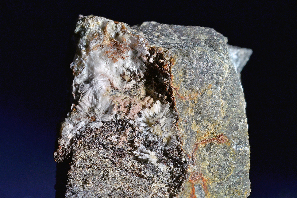
| Species: | Aragonite |
| Formula: | CaCO3 |
| Confirmation |
|---|
|
| Validity: | Confirmed |
| Confirmation Methods: | Visually Identified |
| Associated Minerals Based on Photo Data: |
|---|
|
| Calcite | ⓘ2 photos of Aragonite associated with Calcite at this locality. |
| Data |
|---|
|
| Mineral Data: | Click here to view Aragonite data |
| Locality Data: | Click here to view Hüttgraben, Spital am Pyhrn, Kirchdorf an der Krems District, Upper Austria, Austria |
| Photo Gallery | View Gallery (2 photos) |
| Data Identifiers |
|---|
|
| Mindat Occurrence Record ID: | 775479 |
| Long-form Identifier: | 1:3:775479:1 |
| GUID (UUID V4): | 215782c0-cbb9-446e-9b6c-0a49430e0969 |
| Nearest other occurrences of Aragonite |
|---|
|
|
| 0.8km (0.5 miles) | ⓘTannberg, Spital am Pyhrn, Kirchdorf an der Krems District, Upper Austria, Austria |
| 1.8km (1.1 miles) | ⓘWasserbauernreith, Rosenau am Hengstpaß, Kirchdorf an der Krems District, Upper Austria, Austria |
| 9.4km (5.8 miles) | ⓘGrießgraben, Pleschberg, Admont, Liezen District, Styria, Austria |
| 10.3km (6.4 miles) | ⓘHall, Admont, Liezen District, Styria, Austria |
| 12.8km (8.0 miles) | ⓘHinterstein Alp gypsum quarry (Pyhrn gypsum quarry), Spital am Pyhrn, Kirchdorf an der Krems District, Upper Austria, Austria |
| 18.9km (11.8 miles) | ⓘHuttererhöß, Hinterstoder, Kirchdorf an der Krems District, Upper Austria, Austria |
| 20.4km (12.7 miles) | ⓘEdlacher Moor slag locality, Bärndorf, Rottenmann, Liezen District, Styria, Austria |
| 21.7km (13.5 miles) | ⓘHochbruckgraben, Großreifling, Landl, Liezen District, Styria, Austria |
| 23.2km (14.4 miles) | ⓘOdelstein cave (Odlstein cave), Johnsbach, Admont, Liezen District, Styria, Austria |
| 26.9km (16.7 miles) | ⓘMagnesite deposit, Sunk, Hohentauern, Murtal District, Styria, Austria |
| References |
|---|
|
|


Hüttgraben, Spital am Pyhrn, Kirchdorf an der Krems District, Upper Austria, Austria