| Locality | Latitude | Longitude | Distance | Bearing |
|---|
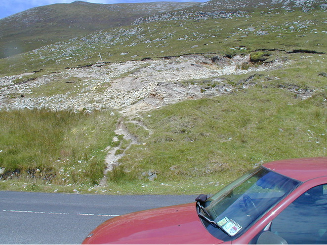
| Keem, Achill Island, Mayo County, Connacht, Ireland | 53° 58' 14" N | 10° 11' 26" W | 4.3km (2.7 miles) | |
| Minaun Cliffs, Achill Island, Mayo County, Connacht, Ireland | 53° 55' 21" N | 10° 3' 20" W | 7.4km (4.6 miles) | |
| Sraheens Bog, Achill Island, Mayo County, Connacht, Ireland | 53° 55' 32" N | 9° 58' 14" W | 11.5km (7.2 miles) | |
| Doolough granite, Mayo County, Connacht, Ireland | 54° 9' 21" N | 9° 56' 21" W | 23.6km (14.6 miles) | |
| Belmullet, Erris Head, Mayo County, Connacht, Ireland | 54° 13' 30" N | 9° 59' 27" W | 29.2km (18.1 miles) | |
| Kilgeever Abbey, Mayo County, Connacht, Ireland | 53° 45' 54" N | 9° 45' 56" W | 33.2km (20.6 miles) | |
| Erris Head, Mayo County, Connacht, Ireland | 54° 17' 49" N | 9° 59' 48" W | 36.8km (22.9 miles) | |
| Lecanvey prospect, Croagh Patrick, Mayo County, Connacht, Ireland | 53° 45' 38" N | 9° 40' 26" W | 38.0km (23.6 miles) | |
| Srahroosky, Cregganbaun, Mayo County, Connacht, Ireland | 53° 40' 44" N | 9° 48' 43" W | 38.8km (24.1 miles) | |
| Peat bog, Croagh Patrick, Westport, Mayo County, Connacht, Ireland | 53° 44' 29" N | 9° 36' 48" W | 42.4km (26.4 miles) | |
| Sheeffry Mine (Tawnycrower Mine; Sheefry Mine; Sheffry Mine), Mayo County, Connacht, Ireland | 53° 39' 39" N | 9° 38' 40" W | 47.1km (29.2 miles) | |
| Barnahallia, Connemara, Galway County, Connacht, Ireland | 53° 31' 58" N | 10° 7' 13" W | 49.1km (30.5 miles) | |
| Grallagh, Clifden, Connemara, Galway County, Connacht, Ireland | 53° 31' 32" N | 10° 8' 7" W | 49.9km (31.0 miles) | |
| Derrylea Roadcut, Clifden, Connemara, Galway County, Connacht, Ireland | 53° 28' 53" N | 9° 56' 6" W | 56.3km (35.0 miles) | |
| Moneen Quarry, Castlebar, Mayo County, Connacht, Ireland | 53° 51' 37" N | 9° 16' 18" W | 57.4km (35.6 miles) | |
| Derryclare Lough, Recess, Connemara, Galway County, Connacht, Ireland | 53° 28' 45" N | 9° 45' 2" W | 60.4km (37.5 miles) | |
| Toombeola Quarry, Toombeola, Connemara, Galway County, Connacht, Ireland | 53° 26' 7" N | 9° 52' 54" W | 62.1km (38.6 miles) | |
| Benlugmore, Bohaun, Galway County, Connacht, Ireland | 53° 32' 30" N | 9° 30' 0" W | 63.3km (39.3 miles) | |
| Clements Mine (Carrowgarriff Mine), Maam Bridge, Connemara, Galway County, Connacht, Ireland | 53° 30' 25" N | 9° 31' 3" W | 65.6km (40.8 miles) | |
| Cashal, Toombeola, Connemara, Galway County, Connacht, Ireland | 53° 24' 54" N | 9° 47' 42" W | 65.9km (41.0 miles) | |
| Bunnahown Quarry, Glinsk, Connemara, Galway County, Connacht, Ireland | 53° 24' 17" N | 9° 46' 56" W | 67.3km (41.8 miles) | |
| Claggan Quarry, Connemara, Galway County, Connacht, Ireland | 53° 29' 48" N | 9° 29' 25" W | 67.6km (42.0 miles) | |
| Dooros-6, Dooros Mines, Cornamona, Connemara, Galway County, Connacht, Ireland | 53° 30' 19" N | 9° 26' 4" W | 69.2km (43.0 miles) | |
| Dooros-1, Dooros Mines, Cornamona, Connemara, Galway County, Connacht, Ireland | 53° 30' 28" N | 9° 25' 35" W | 69.3km (43.1 miles) | |
| Dooros Mines, Cornamona, Connemara, Galway County, Connacht, Ireland | 53° 30' 28" N | 9° 25' 35" W | 69.3km (43.1 miles) | |
| Lough Nacalaga Quarries, Glinsk, Connemara, Galway County, Connacht, Ireland | 53° 22' 4" N | 9° 51' 38" W | 69.7km (43.3 miles) | |
| Dooros-4, Dooros Mines, Cornamona, Connemara, Galway County, Connacht, Ireland | 53° 30' 19" N | 9° 25' 0" W | 70.0km (43.5 miles) | |
| Ardragh Quarry, Maam Cross, Connemara, Galway County, Connacht, Ireland | 53° 26' 38" N | 9° 32' 39" W | 70.4km (43.7 miles) | |
| Derroura, Glan Mines, Oughterard, Connemara, Galway County, Connacht, Ireland | 53° 28' 32" N | 9° 25' 21" W | 72.3km (44.9 miles) | |
| Curraghduff, Glan Mines, Oughterard, Connemara, Galway County, Connacht, Ireland | 53° 28' 22" N | 9° 24' 59" W | 72.7km (45.2 miles) | |


Keem, Achill Island, Mayo County, Connacht, Ireland