Mongbwalu, Djugu Territory, Ituri, DR Congoi
| Regional Level Types | |
|---|---|
| Mongbwalu | Commune |
| Djugu Territory | Territory |
| Ituri | Province |
| DR Congo | Country |
This page is currently not sponsored. Click here to sponsor this page.


Latitude & Longitude (WGS84):
1° 56' 12'' North , 30° 2' 44'' East
Latitude & Longitude (decimal):
Locality type:
Köppen climate type:
No description has been added for this locality. Can you add one?
Select Mineral List Type
Standard Detailed Gallery Strunz Chemical ElementsMineral List
Mineral list contains entries from the region specified including sub-localities1 valid mineral.

Gallery:
Localities in this Region
- Ituri
- Djugu Territory
- Mongbwalu
- Djugu Territory
Other Regions, Features and Areas containing this locality
Africa
- East African Rift System (EARS)Zone (Tectonic)
- Albertine RiftZone (Tectonic)
This page contains all mineral locality references listed on mindat.org. This does not claim to be a complete list. If you know of more minerals from this site, please register so you can add to our database. This locality information is for reference purposes only. You should never attempt to
visit any sites listed in mindat.org without first ensuring that you have the permission of the land and/or mineral rights holders
for access and that you are aware of all safety precautions necessary.


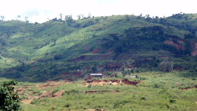
Mongbwalu gold Mine, Mongbwalu, Djugu Territory, Ituri, DR Congo