| Locality type: | Quarry |
| Classification |
|---|
|
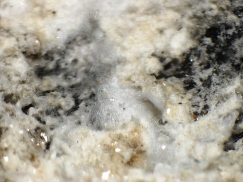
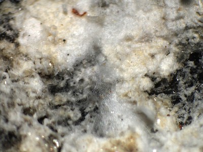
| Species: | Calcite |
| Formula: | CaCO3 |
| Confirmation |
|---|
|
| Validity: | Believed Valid |
| Associated Minerals Based on Photo Data: |
|---|
|
| Rutile | ⓘ5 photos of Calcite associated with Rutile at this locality. |
| Todorokite | ⓘ3 photos of Calcite associated with Todorokite at this locality. |
| Monazite | ⓘ1 photo of Calcite associated with Monazite at this locality. |
| Albite | ⓘ1 photo of Calcite associated with Albite at this locality. |
| Data |
|---|
|
| Mineral Data: | Click here to view Calcite data |
| Locality Data: | Click here to view Lohning quarry (Lohninger quarry), Rauris, Zell am See District, Salzburg, Austria |
| Photo Gallery | View Gallery (13 photos) |
| Data Identifiers |
|---|
|
| Mindat Occurrence Record ID: | 258102 |
| Long-form Identifier: | 1:3:258102:6 |
| GUID (UUID V4): | f38833a4-7522-4f49-8d1a-1468bedf9656 |
| Nearest other occurrences of Calcite |
|---|
|
|
| 1.3km (0.8 miles) | ⓘKaiserer quarry (Deisl quarry), Rauris, Zell am See District, Salzburg, Austria |
| 3.1km (1.9 miles) | ⓘGrieswies-Mähder, Grieswies, Grieswies - Krumlkeeskopf area, Rauris, Zell am See District, Salzburg, Austria |
| 3.6km (2.2 miles) | ⓘRitterkopf, Ritterkopf massif, Rauris, Zell am See District, Salzburg, Austria |
| 3.8km (2.3 miles) | ⓘWest slope, Ritterkopf, Ritterkopf massif, Rauris, Zell am See District, Salzburg, Austria |
| 3.9km (2.4 miles) | ⓘErzwies Mines, Erzwies mining area, Bad Hofgastein, St. Johann im Pongau District, Salzburg, Austria |
| 4.0km (2.5 miles) | ⓘKleiner Ritterkopf, Ritterkopf massif, Rauris, Zell am See District, Salzburg, Austria |
| 4.3km (2.6 miles) | ⓘRitterkar, Ritterkopf massif, Rauris, Zell am See District, Salzburg, Austria |
| 4.3km (2.7 miles) | ⓘGamskarlgraben, Grieswies, Grieswies - Krumlkeeskopf area, Rauris, Zell am See District, Salzburg, Austria |
| 4.6km (2.8 miles) | ⓘGoldlacklscharte, Ritterkopf massif, Rauris, Zell am See District, Salzburg, Austria |
| 4.6km (2.9 miles) | ⓘSilberkarlscharte - west of, Rauris, Zell am See District, Salzburg, Austria |
| References |
|---|
|
|


Lohning quarry, Rauris, Zell am See District, Salzburg, Austria