| Locality type: | Prospect |
| Classification |
|---|
|
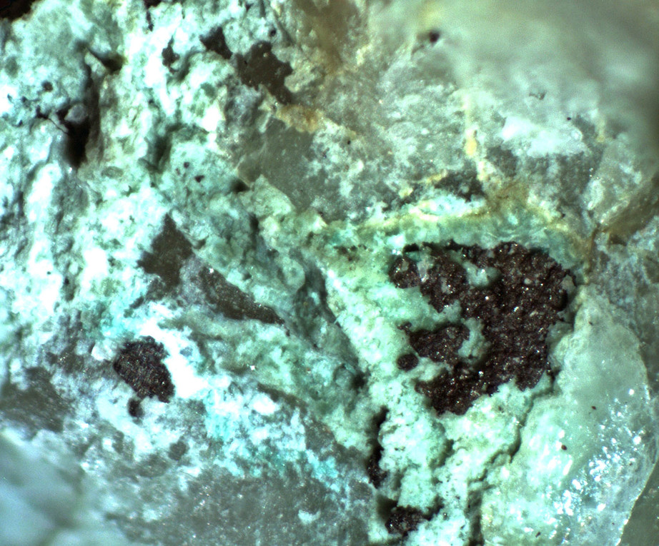
| Species: | Silver |
| Formula: | Ag |
| Confirmation |
|---|
|
| Validity: | Confirmed |
| Confirmation Methods: | Visually Identified |
| Data |
|---|
|
| Mineral Data: | Click here to view Silver data |
| Locality Data: | Click here to view Unnamed Pb-Cu-Ag-Au-Zn-W prospect, Tres Alamos Wash, Johnny Lyon Hills, Yellowstone Mining District, Cochise County, Arizona, USA |
| Data Identifiers |
|---|
|
| Mindat Occurrence Record ID: | 964509 |
| Long-form Identifier: | 1:3:964509:7 |
| GUID (UUID V4): | d62b8138-653a-42da-bae2-bbc3d1c1cd6b |
| Nearest other occurrences of Silver |
|---|
|
|
| 17.1km (10.6 miles) | ⓘTexas Arizona Mine, Gunnison Hills, Cochise Mining District, Cochise County, Arizona, USA |
| 37.4km (23.2 miles) | ⓘSilver Cloud Mine, Escapule Mine group (Escapule Mine; Joe Escapule Mine; Moonlight group; Northside group; Garnet group; Arizona group), Middle Pass Mining District, Cochise County, Arizona, USA |
| 42.1km (26.2 miles) | ⓘCommonwealth Mine (Pearce Mine; Silver Ware Mine; Brockman Mine; Smith Mine; Rinaud Mine; Ritter Mine; Eisenhart vein), Pearce, Pearce Mining District, Pearce Hills, Sulphur Springs Valley, Cochise County, Arizona, USA |
| 46.3km (28.8 miles) | ⓘState of Maine Mine, Tombstone Mining District, Cochise County, Arizona, USA |
| 46.5km (28.9 miles) | ⓘEmpire Mine, Tombstone Mining District, Cochise County, Arizona, USA |
| 47.0km (29.2 miles) | ⓘGrand Central Mine, Contention-Grand Central Mine group, Tombstone Mining District, Cochise County, Arizona, USA |
| 48.3km (30.0 miles) | ⓘEmerald Mine, Silver Plume Mine, Tombstone Mining District, Cochise County, Arizona, USA |
| 51.9km (32.2 miles) | ⓘGallagher Vanadium & Rare Minerals Corp Mine, Tombstone Mining District, Cochise County, Arizona, USA |
| 52.2km (32.5 miles) | ⓘArlington Mine, Tombstone Mining District, Cochise County, Arizona, USA |
| 58.1km (36.1 miles) | ⓘDos Cabezas project (Gold Prince Mine; Henry Clay Mine; Pat Price Mine; Bain Mine; Murphy Mine; Basin Mine), Dos Cabezas, Dos Cabezas Mining District (Two Heads Mining District), Dos Cabezas Mountains, Cochise County, Arizona, USA |
| References |
|---|
|
|


Unnamed Pb-Cu-Ag-Au-Zn-W prospect, Tres Alamos Wash, Johnny Lyon Hills, Yellowstone Mining District, Cochise County, Arizona, USA