| Locality | Latitude | Longitude | Distance | Bearing |
|---|
| Restoration Point, Kitsap County, Washington, USA | 47° 35' 1" N | 122° 28' 44" W | 9.0km (5.6 miles) | |
| Pioneer Quarry, Kitsap County, Washington, USA | 47° 33' 3" N | 122° 42' 28" W | 9.0km (5.6 miles) | |
| Seattle area, King County, Washington, USA | 47° 36' 21" N | 122° 19' 55" W | 20.1km (12.5 miles) | |
| Black River Quarry, King County, Washington, USA | 47° 28' 39" N | 122° 14' 52" W | 28.9km (18.0 miles) | |
| ASARCO Smelter Site slag locality, Tacoma, Pierce County, Washington, USA | 47° 18' 4" N | 122° 30' 55" W | 32.2km (20.0 miles) | |
| Lucky Creek Prospect, Jefferson County, Washington, USA | 47° 43' 13" N | 123° 0' 28" W | 34.2km (21.2 miles) | |
| Beaver Valley Quarry, Jefferson County, Washington, USA | 47° 53' 53" N | 122° 44' 19" W | 36.4km (22.6 miles) | |
| Shine Quarry, Jefferson County, Washington, USA | 47° 54' 14" N | 122° 43' 6" W | 36.6km (22.7 miles) | |
| Port Ludlow Roadcuts, Jefferson County, Washington, USA | 47° 55' 32" N | 122° 40' 55" W | 38.4km (23.9 miles) | |
| Lake Desire, King County, Washington, USA | 47° 26' 30" N | 122° 6' 27" W | 40.2km (25.0 miles) | |
| Squak Mountain Quarry, King County, Washington, USA | 47° 30' 32" N | 122° 4' 21" W | 40.4km (25.1 miles) | |
| North Pole Quartz Prospect, Jefferson County, Washington, USA | 47° 37' 13" N | 123° 8' 51" W | 41.3km (25.7 miles) | |
| Mats Mats Quarry, Jefferson County, Washington, USA | 47° 57' 21" N | 122° 40' 57" W | 41.7km (25.9 miles) | |
| Elkhorn Prospect, Jefferson County, Washington, USA | 47° 44' 14" N | 123° 7' 34" W | 43.0km (26.7 miles) | |
| Maple Creek Prospect, Mason County, Washington, USA | 47° 35' 23" N | 123° 11' 59" W | 45.1km (28.0 miles) | |
| Hoodsport, Mason County, Washington, USA | 47° 24' 17" N | 123° 8' 26" W | 45.4km (28.2 miles) | |
| Black Hump Mine, Mason County, Washington, USA | 47° 31' 58" N | 123° 11' 56" W | 45.4km (28.2 miles) | |
| High Point Roadcuts, King County, Washington, USA | 47° 32' 8" N | 121° 58' 14" W | 47.4km (29.5 miles) | |
| Tubal Cain Prospect, Jefferson County, Washington, USA | 47° 50' 52" N | 123° 5' 59" W | 47.6km (29.5 miles) | |
| Mount Ellinor, Mason County, Washington, USA | 47° 31' 19" N | 123° 15' 33" W | 50.0km (31.1 miles) | |
| Tiger Mountain, King County, Washington, USA | 47° 29' 18" N | 121° 56' 49" W | 50.1km (31.1 miles) | |
| Raging River Quarry, King County, Washington, USA | 47° 30' 59" N | 121° 54' 59" W | 51.7km (32.2 miles) | |
| Cherry Creek Area, King County, Washington, USA | 47° 46' 7" N | 121° 57' 23" W | 52.3km (32.5 miles) | |
| High Rock Quarry, Monroe, Snohomish County, Washington, USA | 47° 48' 29" N | 121° 57' 47" W | 53.6km (33.3 miles) | |
| Black Diamond, Green River Area, King County, Washington, USA | 47° 18' 29" N | 122° 0' 13" W | 54.3km (33.7 miles) | |
| Black Tail Prospect, North Fork of the Skokomish River Area, Mason County, Washington, USA | 47° 35' 2" N | 123° 19' 44" W | 54.8km (34.0 miles) | |
| Mount Lincoln, Mason County, Washington, USA | 47° 32' 57" N | 123° 19' 39" W | 54.8km (34.1 miles) | |
| Triple Trip Mine, North Fork of the Skokomish River Area, Mason County, Washington, USA | 47° 30' 14" N | 123° 19' 11" W | 54.9km (34.1 miles) | |
| Hi Hope Prospect, North Fork of the Skokomish River Area, Mason County, Washington, USA | 47° 30' 40" N | 123° 19' 21" W | 54.9km (34.1 miles) | |
| Black Queen Prospect, North Fork of the Skokomish River Area, Mason County, Washington, USA | 47° 30' 25" N | 123° 19' 44" W | 55.5km (34.5 miles) | |


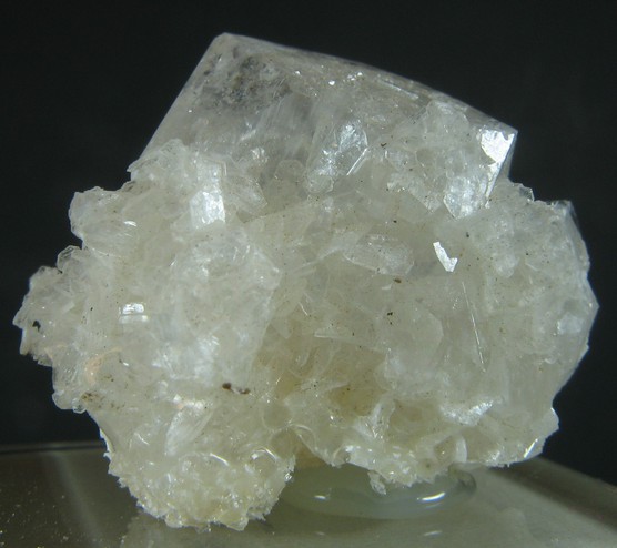


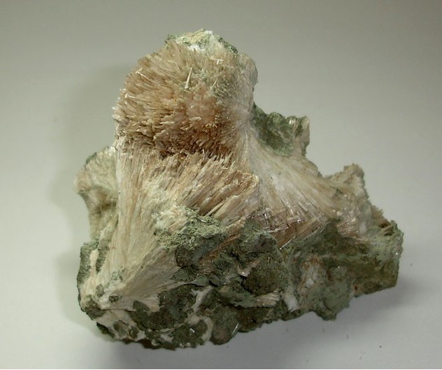


Pioneer Quarry, Kitsap County, Washington, USA