| Locality | Latitude | Longitude | Distance | Bearing |
|---|
| Wolfram Hill (Wolfram Hill - west end), Gough Co., New South Wales, Australia | 29° 16' 48" S | 151° 39' 47" E | 0.0km (0.0 miles) | |
| Wolfram Hill, Gough Co., New South Wales, Australia | 29° 16' 42" S | 151° 39' 49" E | 0.2km (0.1 miles) | |
| Wolfram Hill Road, Clive Co., New South Wales, Australia | 29° 16' 38" S | 151° 39' 56" E | 0.4km (0.2 miles) | |
| Corner deposit, Gough Co., New South Wales, Australia | 29° 16' 59" S | 151° 39' 52" E | 0.4km (0.2 miles) | |
| Green Swamp, Harveys lode, Clive Co., New South Wales, Australia | 29° 16' 32" S | 151° 39' 53" E | 0.5km (0.3 miles) | |
| Green Swamp (Harveys lode), Clive Co., New South Wales, Australia | 29° 16' 32" S | 151° 39' 53" E | 0.5km (0.3 miles) | |
| Wolfram Hill south, Gough Co., New South Wales, Australia | 29° 16' 59" S | 151° 40' 0" E | 0.5km (0.3 miles) | |
| Hilly deposit, Gough Co., New South Wales, Australia | 29° 16' 59" S | 151° 39' 32" E | 0.6km (0.4 miles) | |
| Gold Hill, Clive Co., New South Wales, Australia | 29° 17' 3" S | 151° 40' 5" E | 0.7km (0.4 miles) | |
| Gold Hill body, Clive Co., New South Wales, Australia | 29° 17' 6" S | 151° 40' 4" E | 0.7km (0.4 miles) | |
| Pevys lode, Gough Co., New South Wales, Australia | 29° 17' 2" S | 151° 39' 24" E | 0.8km (0.5 miles) | |
| Sheep Station north, Gough Co., New South Wales, Australia | 29° 17' 3" S | 151° 39' 24" E | 0.8km (0.5 miles) | |
| Sheep Station body, Gough Co., New South Wales, Australia | 29° 17' 12" S | 151° 39' 38" E | 0.8km (0.5 miles) | |
| Powered deposit, Gough Co., New South Wales, Australia | 29° 16' 35" S | 151° 39' 20" E | 0.8km (0.5 miles) | |
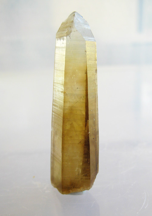
| Upper Sheepyard prospect (Upper Sheepyard; Crystal Hill), Gough Co., New South Wales, Australia | 29° 17' 12" S | 151° 39' 34" E | 0.8km (0.5 miles) | |
| Black Wattle, Clive Co., New South Wales, Australia | 29° 16' 28" S | 151° 40' 10" E | 0.9km (0.5 miles) | |
| Sheep Station deposit, Gough Co., New South Wales, Australia | 29° 17' 15" S | 151° 39' 39" E | 0.9km (0.5 miles) | |
| Lockwoods deposit, Gough Co., New South Wales, Australia | 29° 17' 16" S | 151° 39' 42" E | 0.9km (0.5 miles) | |
| Shaft Mine, Gough Co., New South Wales, Australia | 29° 17' 9" S | 151° 39' 26" E | 0.9km (0.5 miles) | |
| Flat deposit, Clive Co., New South Wales, Australia | 29° 16' 23" S | 151° 40' 10" E | 1.0km (0.6 miles) | |
| Finnigans gold, Gough Co., New South Wales, Australia | 29° 17' 22" S | 151° 39' 51" E | 1.1km (0.7 miles) | |
| Urens southeast, Clive Co., New South Wales, Australia | 29° 16' 21" S | 151° 39' 21" E | 1.1km (0.7 miles) | |
| Currawong lode, Clive Co., New South Wales, Australia | 29° 16' 51" S | 151° 40' 28" E | 1.1km (0.7 miles) | |
| Limited deposit, Clive Co., New South Wales, Australia | 29° 16' 59" S | 151° 40' 27" E | 1.1km (0.7 miles) | |
| Highland Home Creek, Gough Co., New South Wales, Australia | 29° 17' 3" S | 151° 39' 9" E | 1.1km (0.7 miles) | |
| Webbs deposit, Gough Co., New South Wales, Australia | 29° 17' 22" S | 151° 39' 32" E | 1.2km (0.7 miles) | |
| Tobin gold workings, Clive Co., New South Wales, Australia | 29° 17' 22" S | 151° 40' 4" E | 1.2km (0.7 miles) | |
| Heffernan Bros wolfram (Heffernan Bros wolfram lode; Kaffernons & Paytons; Beryl wolfram mine), Gough Co., New South Wales, Australia | 29° 17' 26" S | 151° 39' 48" E | 1.2km (0.7 miles) | |
| Quartz Reward claim, Gough Co., New South Wales, Australia | 29° 17' 21" S | 151° 40' 11" E | 1.2km (0.8 miles) | |
| Turners prospect, Gough Co., New South Wales, Australia | 29° 16' 37" S | 151° 39' 3" E | 1.2km (0.8 miles) | |


Wolfram Hill, Gough Co., New South Wales, Australia