Murray Shire, Western Australia, Australiai
| Regional Level Types | |
|---|---|
| Murray Shire | Shire |
| Western Australia | State |
| Australia | Country |
This page is currently not sponsored. Click here to sponsor this page.


Neighbouring regions:
Locality type:
Largest Settlements:
| Place | Population |
|---|---|
| Pinjarra | 3,288 (2012) |
| South Yunderup | 2,235 (2015) |
| North Yunderup | 849 (2015) |
| Meelon | 556 (2014) |
| Nambeelup | 512 (2015) |
| Stake Hill | 494 (2015) |
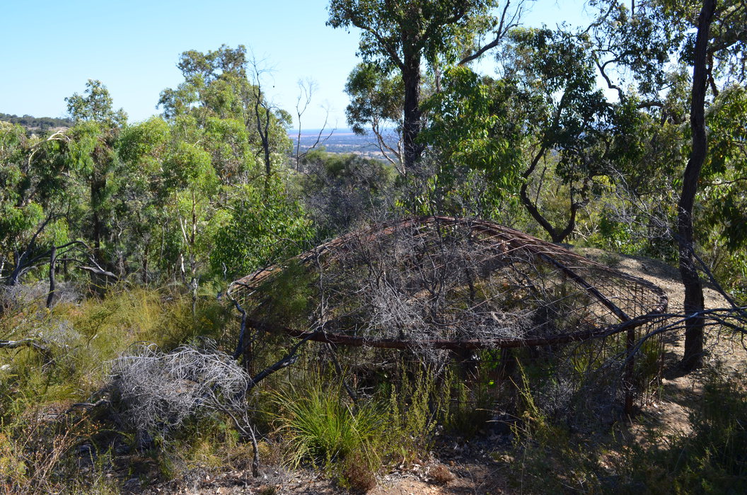
The Shire of Murray is 80 kilometres south of Perth, covers 1 711 square kilometres, and has a population of 14 149 (2011). There is also a Murray Shire in the Riverina District in eastern Australia. The shire's western boundary is the eastern shoreline of the Peel Estuary. It then goes eastwards across the Perth Coastal Plain to the Darling Scarp (Darling Range) and the eastern half of the shire is within this. The plain is flat agricultural land (livestock), while forest covers the eastern portion in the hills. The largest town is Pinjarra, with Dwellingup, North Dandalup, North and South Yunderup, and Ravenswood as the other towns. The shire is named after the Murray River which flows through it.
Attractions include the Peel Zoo, and historic buildings in Pinjarra, steam train tours between Pinjarra and Dwellingup, boat cruises from Mandurah to Ravenswood, the Forest Centre in Dwellingup which provides information on the botanically rich forest of the region, and hand-made wooden furniture sales, and the Murray River valley in the hills section for forest hiking, canoeing, river rapids in winter/spring. Dwellingup is a favourite day destination for motorbike riders.
The only mining of note is for bauxite, with Huntly being the largest bauxite mine in the world. Alcoa runs tours of the mine, one day a week.
Select Mineral List Type
Standard Detailed Gallery Strunz Chemical ElementsMineral List
Mineral list contains entries from the region specified including sub-localities5 valid minerals.
Rock Types Recorded
Note: data is currently VERY limited. Please bear with us while we work towards adding this information!
Rock list contains entries from the region specified including sub-localities
Select Rock List Type
Alphabetical List Tree DiagramDetailed Mineral List:
| ⓘ Cassiterite Formula: SnO2 Localities: Reference: Kalgoorlie Miner newspaper (1915), Report by Geologist. 29/06/1915. |
| ⓘ 'Chlorite Group' Description: Occurs in chloritic schist. Reference: Kalgoorlie Miner newspaper (1915), Report by Geologist. 29/06/1915. |
| ⓘ Gold ? Formula: Au Reference: Geological Survey of Western Australia (1917) Annual Progress Report for 1915. |
| ⓘ Molybdenite Formula: MoS2 Reference: Kalgoorlie Miner newspaper (1915), Report by Geologist. 29/06/1915. |
| ⓘ Pyrite Formula: FeS2 Reference: See article,historic newspaper accounts |
| ⓘ Quartz Formula: SiO2 Reference: See article,historic newspaper accounts |
Gallery:
List of minerals arranged by Strunz 10th Edition classification
| Group 1 - Elements | |||
|---|---|---|---|
| ⓘ | Gold ? | 1.AA.05 | Au |
| Group 2 - Sulphides and Sulfosalts | |||
| ⓘ | Molybdenite | 2.EA.30 | MoS2 |
| ⓘ | Pyrite | 2.EB.05a | FeS2 |
| Group 4 - Oxides and Hydroxides | |||
| ⓘ | Cassiterite | 4.DB.05 | SnO2 |
| ⓘ | Quartz | 4.DA.05 | SiO2 |
| Unclassified Minerals, Rocks, etc. | |||
| ⓘ | 'Chlorite Group' | - | |
List of minerals for each chemical element
| O | Oxygen | |
|---|---|---|
| O | ⓘ Cassiterite | SnO2 |
| O | ⓘ Quartz | SiO2 |
| Si | Silicon | |
| Si | ⓘ Quartz | SiO2 |
| S | Sulfur | |
| S | ⓘ Pyrite | FeS2 |
| S | ⓘ Molybdenite | MoS2 |
| Fe | Iron | |
| Fe | ⓘ Pyrite | FeS2 |
| Mo | Molybdenum | |
| Mo | ⓘ Molybdenite | MoS2 |
| Sn | Tin | |
| Sn | ⓘ Cassiterite | SnO2 |
| Au | Gold | |
| Au | ⓘ Gold | Au |
Fossils
There are 1 fossil localities from the PaleoBioDB database within this region.BETA TEST - These data are provided on an experimental basis and are taken from external databases. Mindat.org has no control currently over the accuracy of these data.
| Occurrences | 1 | ||||||
|---|---|---|---|---|---|---|---|
| Youngest Fossil Listed | 0.78 Ma (Pleistocene) | ||||||
| Oldest Fossil Listed | 1.81 Ma (Pleistocene) | ||||||
| Stratigraphic Units |
| ||||||
| Fossils from Region | Click here to show the list. | ||||||
| Fossil Localities | Click to show 1 fossil locality |
References
Sort by
Year (asc) Year (desc) Author (A-Z) Author (Z-A)Kim Macdonald 2013
External Links
Localities in this Region
- Western Australia
Other Regions, Features and Areas that Intersect
Australia
- Western Australia
- Perth BasinBasin
- Pinjarra OrogenOrogen
- West Australian ElementCraton
- Yilgarn CratonCraton
Australian PlateTectonic Plate
This page contains all mineral locality references listed on mindat.org. This does not claim to be a complete list. If you know of more minerals from this site, please register so you can add to our database. This locality information is for reference purposes only. You should never attempt to
visit any sites listed in mindat.org without first ensuring that you have the permission of the land and/or mineral rights holders
for access and that you are aware of all safety precautions necessary.


Lovett's Reward, North Dandalup, Murray Shire, Western Australia, Australia