| Locality | Latitude | Longitude | Distance | Bearing |
|---|
| Rock Flat Placer, Meadows Mining District, Adams County, Idaho, USA | 44° 56' 11" N | 116° 10' 11" W | 0.0km (0.0 miles) | |
| Rock Flat Mine, Little Goose Creek Canyon, New Meadows, Adams County, Idaho, USA | 44° 58' 0" N | 116° 11' 59" W | 4.1km (2.6 miles) | |
| McCall, Valley County, Idaho, USA | 44° 54' 22" N | 116° 7' 1" W | 5.3km (3.3 miles) | |
| Sloans Peak Lookout, Valley County, Idaho, USA | 44° 54' 32" N | 116° 6' 33" W | 5.7km (3.5 miles) | |
| Thorn Creek Placers, Adams County, Idaho, USA | 45° 0' 23" N | 116° 9' 19" W | 7.9km (4.9 miles) | |
| Garden Mine, Seven Devils Mining District, Adams County, Idaho, USA | 45° 1' 1" N | 116° 13' 56" W | 10.2km (6.3 miles) | |
| Brundage Occurrence (French Creek-Patrick Butte Area), Adams County, Idaho, USA | 45° 1' 30" N | 116° 7' 59" W | 10.3km (6.4 miles) | |
| Blue Bunch Ridge, Adams County, Idaho, USA | 44° 55' 8" N | 116° 19' 2" W | 11.8km (7.3 miles) | |
| New Meadows Manganese Deposit (Fife Prospect), Blue Bunch Ridge, Adams County, Idaho, USA | 44° 55' 14" N | 116° 19' 10" W | 11.9km (7.4 miles) | |
| Rose Marie prospect, Blue Bunch Ridge, Adams County, Idaho, USA | 44° 54' 24" N | 116° 19' 1" W | 12.1km (7.5 miles) | |
| Vick Creek Asbestos occurrence, Blue Bunch Ridge, Adams County, Idaho, USA | 44° 54' 42" N | 116° 19' 9" W | 12.1km (7.5 miles) | |
| New Meadows State Pit, Adams County, Idaho, USA | 45° 1' 46" N | 116° 16' 42" W | 13.4km (8.3 miles) | |
| Graphite Group Prospect, Valley County, Idaho, USA | 44° 56' 23" N | 115° 59' 50" W | 13.6km (8.5 miles) | |
| Burnt Rock prospect (Orville Manley), Blue Bunch Ridge, Adams County, Idaho, USA | 44° 52' 46" N | 116° 19' 44" W | 14.0km (8.7 miles) | |
| Boulder Creek Placer, Valley County, Idaho, USA | 44° 50' 49" N | 116° 1' 32" W | 15.1km (9.4 miles) | |
| Heavy Mineral Placer, Valley County, Idaho, USA | 45° 0' 0" N | 116° 0' 0" W | 15.1km (9.4 miles) | |
| Satermeadow Occurrence, Valley County, Idaho, USA | 45° 4' 31" N | 116° 5' 51" W | 16.5km (10.2 miles) | |
| Unknown Gold (MRDS - 10168774), Valley County, Idaho, USA | 44° 55' 17" N | 115° 57' 23" W | 16.9km (10.5 miles) | |
| Lake Fork Creek, Valley County, Idaho, USA | 44° 49' 32" N | 116° 0' 53" W | 17.3km (10.8 miles) | |
| Unnamed prospect, Yellow Pine Mining District, Valley County, Idaho, USA | 44° 56' 27" N | 115° 55' 58" W | 18.7km (11.6 miles) | |
| Grouse Knoll prospect, Donnelly, Valley County, Idaho, USA | 44° 47' 48" N | 116° 1' 28" W | 19.3km (12.0 miles) | |
| Bear Creek prospect, Adams County, Idaho, USA | 44° 54' 30" N | 116° 24' 48" W | 19.4km (12.1 miles) | |
| Twin Peaks, Valley County, Idaho, USA | 44° 51' 21" N | 115° 56' 53" W | 19.6km (12.2 miles) | |
| Granite Lake, McCall, Valley County, Idaho, USA | 45° 6' 0" N | 116° 4' 33" W | 19.7km (12.2 miles) | |
| Chipman Occurrence, Adams County, Idaho, USA | 44° 53' 49" N | 116° 24' 49" W | 19.7km (12.2 miles) | |
| Kearns Occurrence, Adams County, Idaho, USA | 44° 52' 54" N | 116° 24' 27" W | 19.7km (12.2 miles) | |
| Jacobs Quartz (Helmick Property), Valley County, Idaho, USA | 44° 48' 2" N | 116° 0' 34" W | 19.7km (12.2 miles) | |
| Oregon Occurrence, Adams County, Idaho, USA | 44° 52' 18" N | 116° 24' 22" W | 19.9km (12.4 miles) | |
| Boulder Creek, McCall, Valley County, Idaho, USA | 44° 46' 43" N | 116° 2' 44" W | 20.1km (12.5 miles) | |
| Goodenough prospect (Barham and White prospect), McCall, Valley County, Idaho, USA | 44° 48' 8" N | 115° 59' 41" W | 20.3km (12.6 miles) | |
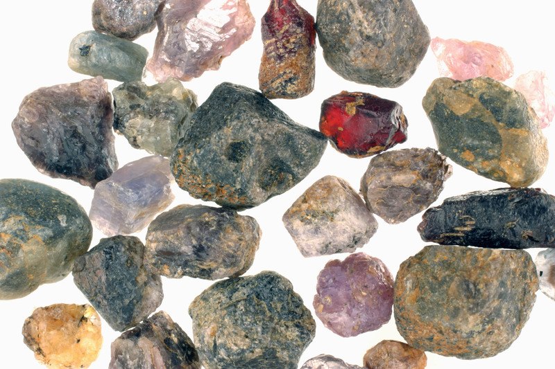
Minerals recorded nearby (within 20 km)
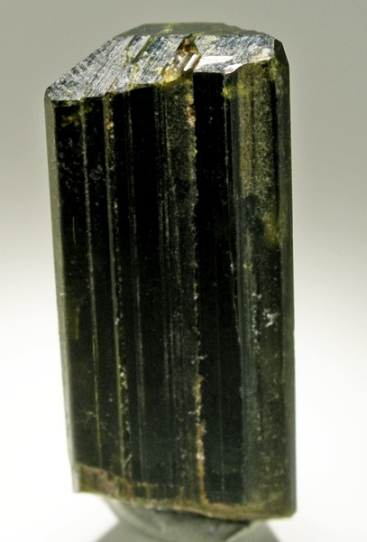
Rock types recorded nearby (within 20 km)
Entries shown in red are rocks recorded for this region.


Rock Flat Placer, Meadows Mining District, Adams County, Idaho, USA