| Locality | Latitude | Longitude | Distance | Bearing |
|---|
| Steinwald, Sandl, Freistadt District, Upper Austria, Austria | 48° 31' 21" N | 14° 38' 43" E | 1.5km (0.9 miles) | |
| Friepeß quarry, Steinwald, Sandl, Freistadt District, Upper Austria, Austria | 48° 31' 27" N | 14° 38' 30" E | 1.7km (1.1 miles) | |
| Harrachstal, Weitersfelden, Freistadt District, Upper Austria, Austria | 48° 30' 11" N | 14° 41' 9" E | 2.6km (1.6 miles) | |
| Königsau, Sandl, Freistadt District, Upper Austria, Austria | 48° 32' 34" N | 14° 37' 36" E | 3.7km (2.3 miles) | |
| Weinbergholz quarry, St. Oswald bei Freistadt, Freistadt District, Upper Austria, Austria | 48° 31' 39" N | 14° 35' 49" E | 5.1km (3.2 miles) | |
| Stiftungsberg, St. Oswald bei Freistadt, Freistadt District, Upper Austria, Austria | 48° 28' 53" N | 14° 36' 17" E | 6.3km (3.9 miles) | |
| Hundsberg, Sandl, Freistadt District, Upper Austria, Austria | 48° 34' 47" N | 14° 37' 47" E | 6.9km (4.3 miles) | |
| Oberrauchenödt, Grünbach, Freistadt District, Upper Austria, Austria | 48° 31' 28" N | 14° 34' 8" E | 7.1km (4.4 miles) | |
| Spörbichl quarry (Posthöf quarry), Windhaag bei Freistadt, Freistadt District, Upper Austria, Austria | 48° 33' 11" N | 14° 34' 41" E | 7.3km (4.5 miles) | |
| Plochwald, Sandl, Freistadt District, Upper Austria, Austria | 48° 35' 37" N | 14° 36' 44" E | 8.9km (5.5 miles) | |
| Moserberg, Grünbach, Freistadt District, Upper Austria, Austria | 48° 32' 44" N | 14° 32' 50" E | 9.1km (5.6 miles) | |
| Friepeß quarry, Plochwald, Sandl, Freistadt District, Upper Austria, Austria | 48° 35' 43" N | 14° 36' 33" E | 9.1km (5.7 miles) | |
| Lasberger Granit quarry, Gunnersdorf, Lasberg, Freistadt District, Upper Austria, Austria | 48° 29' 26" N | 14° 32' 38" E | 9.6km (6.0 miles) | |
| Pieberbach, Kaltenberg, Freistadt District, Upper Austria, Austria | 48° 27' 0" N | 14° 44' 17" E | 9.7km (6.0 miles) | |
| Gunnersdorf, Lasberg, Freistadt District, Upper Austria, Austria | 48° 29' 46" N | 14° 32' 1" E | 10.1km (6.3 miles) | |
| Tannbach, Gutau, Freistadt District, Upper Austria, Austria | 48° 25' 10" N | 14° 35' 57" E | 12.4km (7.7 miles) | |
| Resch quarry (Leopoldschlag quarry), Gurhof, Leopoldschlag, Freistadt District, Upper Austria, Austria | 48° 36' 41" N | 14° 32' 31" E | 13.4km (8.4 miles) | |
| Lest, Kefermarkt, Freistadt District, Upper Austria, Austria | 48° 27' 16" N | 14° 29' 56" E | 14.4km (8.9 miles) | |
| Osang, Angelbach, Bad Großpertholz, Gmünd District, Lower Austria, Austria | 48° 37' 43" N | 14° 47' 21" E | 15.0km (9.3 miles) | |
| Angelbach, Bad Großpertholz, Gmünd District, Lower Austria, Austria | 48° 38' 14" N | 14° 47' 35" E | 15.9km (9.9 miles) | |
| Kerschbaum quarry, Rainbach im Mühlkreis, Freistadt District, Upper Austria, Austria | 48° 35' 23" N | 14° 28' 17" E | 16.1km (10.0 miles) | |
| Summerau, Rainbach im Mühlkreis, Freistadt District, Upper Austria, Austria | 48° 33' 7" N | 14° 26' 50" E | 16.4km (10.2 miles) | |
| Neumarkt tunnel, S 10 motorway, Neumarkt im Mühlkreis, Freistadt District, Upper Austria, Austria | 48° 25' 39" N | 14° 29' 22" E | 16.7km (10.4 miles) | |
| Mötlas, Königswiesen, Freistadt District, Upper Austria, Austria | 48° 23' 49" N | 14° 47' 34" E | 16.8km (10.4 miles) | |
| Zissingdorf, Neumarkt im Mühlkreis, Freistadt District, Upper Austria, Austria | 48° 26' 6" N | 14° 27' 51" E | 17.7km (11.0 miles) | |
| Kastendorf, Königswiesen, Freistadt District, Upper Austria, Austria | 48° 23' 26" N | 14° 49' 15" E | 18.6km (11.5 miles) | |
| Nebelstein greisen occurrence, Moorbad Harbach, Gmünd District, Lower Austria, Austria | 48° 40' 24" N | 14° 46' 44" E | 18.8km (11.7 miles) | |
| Harruck, Groß-Gerungs, Zwettl District, Lower Austria, Austria | 48° 34' 8" N | 14° 55' 40" E | 20.0km (12.4 miles) | |
| Götschka tunnel, S 10 motorway, Unterweitersdorf, Freistadt District, Upper Austria, Austria | 48° 23' 13" N | 14° 29' 7" E | 20.0km (12.4 miles) | |
| Anitzberg, Pregarten, Freistadt District, Upper Austria, Austria | 48° 22' 32" N | 14° 30' 1" E | 20.3km (12.6 miles) | |
Minerals recorded nearby (within 20 km)
Rock types recorded nearby (within 20 km)
Entries shown in red are rocks recorded for this region.
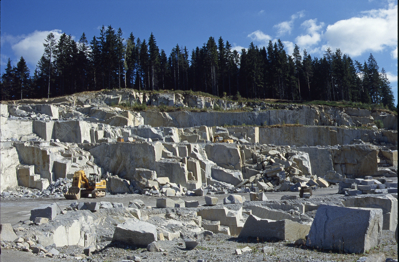


Spörbichl quarry, Windhaag bei Freistadt, Freistadt District, Upper Austria, Austria