| Locality | Latitude | Longitude | Distance | Bearing |
|---|
| Fluorite Occurrence No. 1, Blue River Group Outcrop Area, Harrison County, Indiana, USA | 38° 17' 22" N | 86° 2' 14" W | 4.5km (2.8 miles) | |
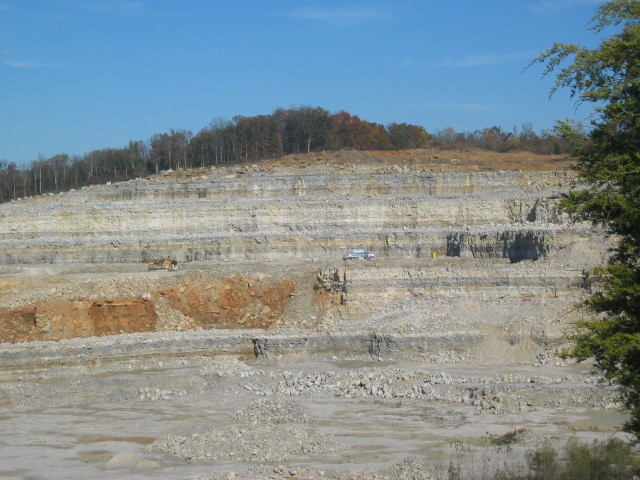
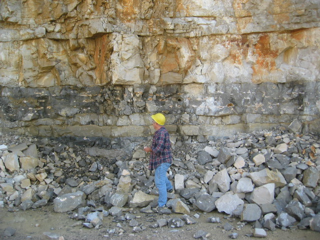
| Corydon Stone Co. Quarry, Corydon, Harrison County, Indiana, USA | 38° 14' 54" N | 86° 8' 54" W | 6.3km (3.9 miles) | |
| Harrison County Highway Department, Harrison County, Indiana, USA | 38° 12' 47" N | 86° 7' 12" W | 7.8km (4.9 miles) | |
| Corydon, Harrison County, Indiana, USA | 38° 12' 43" N | 86° 7' 18" W | 8.0km (5.0 miles) | |
| John S. Davis Pit, Harrison County, Indiana, USA | 38° 20' 6" N | 86° 10' 19" W | 9.7km (6.0 miles) | |
| Fluorite Occurrence No. 2, Blue River Group Outcrop Area, Harrison County, Indiana, USA | 38° 17' 22" N | 86° 12' 0" W | 9.9km (6.2 miles) | |
| Lanesville, Harrison County, Indiana, USA | 38° 14' 13" N | 85° 59' 8" W | 10.0km (6.2 miles) | |
| Mathes Quarry, Corydon, Harrison County, Indiana, USA | 38° 9' 59" N | 86° 8' 4" W | 13.2km (8.2 miles) | |
| Unnamed Fluorite Occurrence (MRDS - 10080845), Blue River Group Outcrop Area, Harrison County, Indiana, USA | 38° 10' 0" N | 86° 8' 9" W | 13.2km (8.2 miles) | |
| Floyd County Stone quarry, Floyd County, Indiana, USA | 38° 16' 2" N | 85° 55' 2" W | 14.9km (9.2 miles) | |
| Milltown Rock Quarry, Harrison County, Indiana, USA | 38° 20' 30" N | 86° 14' 30" W | 15.2km (9.5 miles) | |
| Jorris Sand Pit, Clark County, Indiana, USA | 38° 24' 45" N | 85° 59' 14" W | 17.2km (10.7 miles) | |
| Milltown, Harrison County, Indiana, USA | 38° 20' 32" N | 86° 16' 33" W | 18.0km (11.2 miles) | |
| Louisville Cement Company Quarry, Milltown, Harrison County, Indiana, USA | 38° 21' 0" N | 86° 16' 24" W | 18.1km (11.3 miles) | |
| Miller Sand Pit, Washington County, Indiana, USA | 38° 25' 45" N | 86° 0' 5" W | 18.3km (11.4 miles) | |
| Indiana Route 62 roadcut, Crawford County, Indiana, USA | 38° 13' 30" N | 86° 17' 34" W | 19.0km (11.8 miles) | |
| Wyandotte Cave, Crawford County, Indiana, USA | 38° 13' 41" N | 86° 17' 45" W | 19.1km (11.9 miles) | |
| Saltpetre cave, Crawford County, Indiana, USA | 38° 13' 58" N | 86° 17' 57" W | 19.2km (11.9 miles) | |
| Floyds Knobs, Floyd County, Indiana, USA | 38° 19' 27" N | 85° 52' 25" W | 19.3km (12.0 miles) | |
| Fluorite Occurrence Number 1, Washington County, Indiana, USA | 38° 27' 0" N | 86° 10' 0" W | 20.3km (12.6 miles) | |
| Tower Quarry (Crawford County Quarry), Crawford County, Indiana, USA | 38° 16' 23" N | 86° 19' 30" W | 20.8km (12.9 miles) | |
| Gem Silica Elizabeth Plant (Gem Silica; Ohio River Silica Plant), Harrison County, Indiana, USA | 38° 7' 45" N | 85° 56' 8" W | 21.2km (13.2 miles) | |
| New Albany, Floyd County, Indiana, USA | 38° 17' 8" N | 85° 49' 26" W | 23.0km (14.3 miles) | |
| Marengo Mine & Mill, Crawford County, Indiana, USA | 38° 22' 5" N | 86° 20' 18" W | 24.1km (15.0 miles) | |
| Unnamed Iron Prospect (MRDS - 10242114), Clark County, Indiana, USA | 38° 25' 45" N | 85° 53' 12" W | 24.2km (15.0 miles) | |
| Borden, Clark County, Indiana, USA | 38° 28' 0" N | 85° 56' 44" W | 24.3km (15.1 miles) | |
| Cape Sandy Quarry No. 2, Crawford County, Indiana, USA | 38° 13' 14" N | 86° 21' 20" W | 24.3km (15.1 miles) | |
| Marengo Cave, Crawford County, Indiana, USA | 38° 22' 31" N | 86° 20' 21" W | 24.5km (15.2 miles) | |
| Unnamed Iron Prospect (MRDS - 10241586), Clark County, Indiana, USA | 38° 26' 29" N | 85° 53' 17" W | 25.0km (15.6 miles) | |
| Unnamed Iron Prospect (MRDS - 10120305), Clark County, Indiana, USA | 38° 25' 45" N | 85° 52' 17" W | 25.2km (15.6 miles) | |
Minerals recorded nearby (within 20 km)
Rock types recorded nearby (within 20 km)
Entries shown in red are rocks recorded for this region.


Corydon Stone Co. Quarry, Corydon, Harrison County, Indiana, USA