| Locality | Latitude | Longitude | Distance | Bearing |
|---|
| SE Lava Drive, Milwaukie, Clackamas County, Oregon, USA | 45° 26' 50" N | 122° 38' 37" W | 0.4km (0.2 miles) | |
| Milwaukie, Clackamas County, Oregon, USA | 45° 26' 47" N | 122° 37' 56" W | 0.5km (0.3 miles) | |
| Elk Rock Island, Milwaukie, Clackamas County, Oregon, USA | 45° 26' 9" N | 122° 38' 52" W | 1.3km (0.8 miles) | |
| Lake Oswego Pit and Plant, Clackamas County, Oregon, USA | 45° 25' 17" N | 122° 40' 14" W | 3.7km (2.3 miles) | |
| Grimms Fuel Company Pit, Clackamas County, Oregon, USA | 45° 24' 35" N | 122° 40' 46" W | 5.1km (3.2 miles) | |
| Oswego Iron Mine (Oswego Iron Company; Oswego Iron Mine Prosser Mine; Oregon Iron Company), Clackamas County, Oregon, USA | 45° 25' 4" N | 122° 41' 26" W | 5.1km (3.2 miles) | |
| Seventh Day Adventists, Clackamas County, Oregon, USA | 45° 23' 26" N | 122° 34' 45" W | 7.7km (4.8 miles) | |
| West Linn, Clackamas County, Oregon, USA | 45° 22' 14" N | 122° 37' 22" W | 8.5km (5.3 miles) | |
| Nature Conservatory, Clackamas County, Oregon, USA | 45° 21' 42" N | 122° 36' 51" W | 9.6km (6.0 miles) | |
| Francis Welsh Silica Mine, Clackamas County, Oregon, USA | 45° 21' 57" N | 122° 35' 29" W | 9.7km (6.0 miles) | |
| Willamette meteorite, West Linn, Clackamas County, Oregon, USA | 45° 22' 0" N | 122° 34' 59" W | 9.9km (6.1 miles) | |
| Unnamed Stone - Crushed/Broken Pit (MRDS - 10201343), Multnomah County, Oregon, USA | 45° 31' 29" N | 122° 41' 57" W | 9.9km (6.2 miles) | |
| City of Portland (MRDS - 10098904), Multnomah County, Oregon, USA | 45° 31' 23" N | 122° 42' 25" W | 10.1km (6.2 miles) | |
| Sylvan Brick Company, Multnomah County, Oregon, USA | 45° 30' 38" N | 122° 43' 49" W | 10.1km (6.3 miles) | |
| Durham Quarry, Washington County, Oregon, USA | 45° 23' 57" N | 122° 45' 8" W | 10.3km (6.4 miles) | |
| Pynns Rock Quarry (Allen B Pynn), Clackamas County, Oregon, USA | 45° 21' 15" N | 122° 39' 15" W | 10.3km (6.4 miles) | |
| Unnamed Stone - Crushed/Broken Quarry (MRDS - 10250295), Multnomah County, Oregon, USA | 45° 28' 37" N | 122° 30' 33" W | 10.7km (6.6 miles) | |
| Lakeside Stables (Don Obrist-Lakeside Stables), Multnomah County, Oregon, USA | 45° 28' 26" N | 122° 29' 52" W | 11.5km (7.1 miles) | |
| Terrill Silica Deposit, Clackamas County, Oregon, USA | 45° 20' 53" N | 122° 35' 17" W | 11.6km (7.2 miles) | |
| City of Portland Pit (City Pit 1525 TRS), Multnomah County, Oregon, USA | 45° 33' 15" N | 122° 39' 15" W | 12.1km (7.5 miles) | |
| Oregon City, Clackamas County, Oregon, USA | 45° 20' 10" N | 122° 36' 17" W | 12.5km (7.8 miles) | |
| Portland Tunnel Occurrence, Multnomah County, Oregon, USA | 45° 32' 20" N | 122° 43' 58" W | 12.6km (7.8 miles) | |
| Unnamed Stone Pit (MRDS - 10128536), Multnomah County, Oregon, USA | 45° 32' 50" N | 122° 33' 30" W | 12.9km (8.0 miles) | |
| Unnamed Stone - Crushed/Broken Quarry (MRDS - 10128330), Multnomah County, Oregon, USA | 45° 33' 6" N | 122° 33' 52" W | 13.1km (8.1 miles) | |
| Grabhorn Quarry, Washington County, Oregon, USA | 45° 28' 54" N | 122° 47' 59" W | 13.1km (8.2 miles) | |
| Quality Quarry & Plant, Washington County, Oregon, USA | 45° 28' 54" N | 122° 47' 59" W | 13.1km (8.2 miles) | |
| Petes Mountain, Clackamas County, Oregon, USA | 45° 19' 32" N | 122° 41' 25" W | 14.0km (8.7 miles) | |
| Damascus Pit & Plant (Wes King), Clackamas County, Oregon, USA | 45° 25' 23" N | 122° 27' 20" W | 14.5km (9.0 miles) | |
| City of Portland (MRDS - 10051532), Multnomah County, Oregon, USA | 45° 33' 11" N | 122° 45' 2" W | 14.7km (9.2 miles) | |
| Murray Road Quarry (Progress Quarries-Murray Road), Washington County, Oregon, USA | 45° 27' 27" N | 122° 49' 40" W | 14.8km (9.2 miles) | |
Minerals recorded nearby (within 14.8 km)
Rock types recorded nearby (within 14.8 km)
Entries shown in red are rocks recorded for this region.

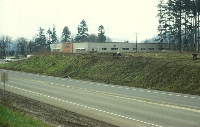
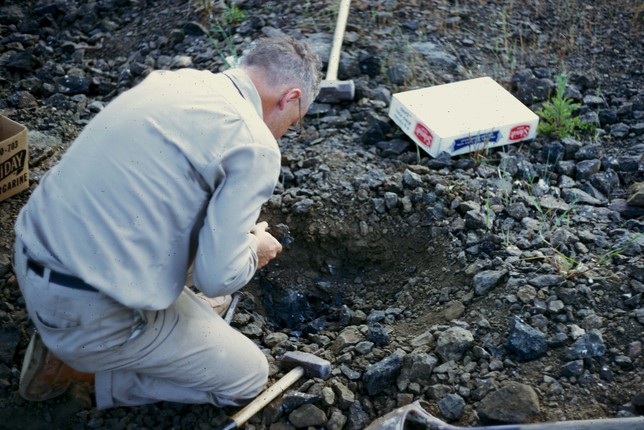


SE Lava Drive, Milwaukie, Clackamas County, Oregon, USA