| Locality | Latitude | Longitude | Distance | Bearing |
|---|
| Road 10 Roadcuts, Tórshavn, Tórshavn Municipality, Streymoy, Streymoy Region, Faroe Islands | 62° 1' 3" N | 6° 47' 24" W | 1.6km (1.0 miles) | |
| Bergsendi, Argir, Streymoy, Streymoy Region, Faroe Islands | 61° 58' 58" N | 6° 44' 34" W | 3.0km (1.9 miles) | |
| Glyvursnes, Argir, Streymoy, Streymoy Region, Faroe Islands | 61° 58' 47" N | 6° 43' 59" W | 3.6km (2.2 miles) | |
| Glyvursnes Quarry, Argir, Streymoy, Streymoy Region, Faroe Islands | 61° 58' 35" N | 6° 44' 40" W | 3.7km (2.3 miles) | |
| Villingadalur tunnel construction site, Hoyvik, Streymoy, Streymoy Region, Faroe Islands | 62° 2' 37" N | 6° 47' 50" W | 4.3km (2.7 miles) | |
| Havnardalur quarry, Tórshavn, Tórshavn Municipality, Streymoy, Streymoy Region, Faroe Islands | 62° 1' 4" N | 6° 51' 15" W | 4.6km (2.9 miles) | |
| Sund Old Quarry, Hoyvik, Streymoy, Streymoy Region, Faroe Islands | 62° 2' 51" N | 6° 48' 18" W | 4.9km (3.0 miles) | |
| Sund New Quarry, Hoyvik, Streymoy, Streymoy Region, Faroe Islands | 62° 2' 53" N | 6° 48' 41" W | 5.0km (3.1 miles) | |
| Nólsoy Quarry, Nólsoy, Tórshavn Municipality, Streymoy, Streymoy Region, Faroe Islands | 62° 0' 9" N | 6° 40' 2" W | 5.3km (3.3 miles) | |
| Gamlarett Quarry, Kirkjubøur, Streymoy, Streymoy Region, Faroe Islands | 61° 57' 44" N | 6° 49' 5" W | 5.6km (3.5 miles) | |
| Skútin Cave, Nólsoy, Tórshavn Municipality, Streymoy, Streymoy Region, Faroe Islands | 61° 58' 32" N | 6° 39' 29" W | 6.8km (4.2 miles) | |
| Neystanes, Nólsoy, Tórshavn Municipality, Streymoy, Streymoy Region, Faroe Islands | 61° 58' 8" N | 6° 39' 12" W | 7.4km (4.6 miles) | |
| Strendur Quarry, Kolbeinagjógv, Eysturoy, Eysturoy Region, Faroe Islands | 62° 6' 5" N | 6° 46' 39" W | 10.5km (6.5 miles) | |
| Strendur, Eysturoy, Eysturoy Region, Faroe Islands | 62° 6' 24" N | 6° 45' 43" W | 11.0km (6.9 miles) | |
| Kjalnes, Kollafjørður, Streymoy, Streymoy Region, Faroe Islands | 62° 7' 12" N | 6° 52' 27" W | 13.7km (8.5 miles) | |
| Sátan Quarry (Hundsarabotnur quarry), Oyrareingir, Streymoy, Streymoy Region, Faroe Islands | 62° 5' 24" N | 6° 58' 1" W | 13.8km (8.6 miles) | |
| Kollafjarðar School, Kollafjørður, Streymoy, Streymoy Region, Faroe Islands | 62° 7' 0" N | 6° 54' 25" W | 14.1km (8.8 miles) | |
| Gjáarbotnur, Skælingur, Streymoy, Streymoy Region, Faroe Islands | 62° 4' 52" N | 6° 59' 24" W | 14.2km (8.8 miles) | |
| Mt Hæddin, Glyvrar, Eysturoy, Eysturoy Region, Faroe Islands | 62° 8' 0" N | 6° 42' 41" W | 14.3km (8.9 miles) | |
| Hustoft Quarry, Lamba, Eysturoy, Eysturoy Region, Faroe Islands | 62° 8' 10" N | 6° 42' 48" W | 14.6km (9.1 miles) | |
| Selatrađ Quarry, Morskranes, Eysturoy, Eysturoy Region, Faroe Islands | 62° 8' 16" N | 6° 50' 53" W | 15.1km (9.4 miles) | |
| Kongseið, Lambareiði, Eysturoy, Eysturoy Region, Faroe Islands | 62° 8' 40" N | 6° 44' 0" W | 15.3km (9.5 miles) | |
| Skáli Roadcuts, Skála, Eysturoy, Eysturoy Region, Faroe Islands | 62° 9' 17" N | 6° 47' 0" W | 16.4km (10.2 miles) | |
| Hósvik, Streymoy, Streymoy Region, Faroe Islands | 62° 9' 4" N | 6° 56' 26" W | 18.3km (11.4 miles) | |
| Skipanes, Eysturoy, Eysturoy Region, Faroe Islands | 62° 10' 24" N | 6° 46' 20" W | 18.5km (11.5 miles) | |
| Lake Leynar, Leynar, Streymoy, Streymoy Region, Faroe Islands | 62° 7' 41" N | 7° 0' 42" W | 18.5km (11.5 miles) | |
| Gøtuvegur Roadcut, Skipanes, Eysturoy, Eysturoy Region, Faroe Islands | 62° 10' 29" N | 6° 46' 2" W | 18.6km (11.6 miles) | |
| Gøtueiđi, Eysturoy, Eysturoy Region, Faroe Islands | 62° 10' 29" N | 6° 46' 18" W | 18.6km (11.6 miles) | |
| Gøtueið, Syðrugøta, Eysturoy, Eysturoy Region, Faroe Islands | 62° 10' 40" N | 6° 45' 53" W | 19.0km (11.8 miles) | |
| Vágar Tunnel (Vága), Vágar, Vágar Region, Faroe Islands | 62° 6' 29" N | 7° 4' 46" W | 19.7km (12.2 miles) | |
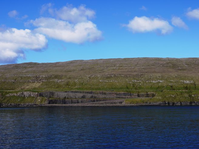


Gamlarett Quarry, Kirkjubøur, Streymoy, Streymoy Region, Faroe Islands