| Locality | Latitude | Longitude | Distance | Bearing |
|---|
| Brighton Dam Road Quarry (Howard-Montgomery Quarry), Howard County, Maryland, USA | 39° 11' 44" N | 76° 59' 8" W | 0.0km (0.0 miles) | |
| Clarksville, Howard County, Maryland, USA | 39° 12' 22" N | 76° 56' 44" W | 3.7km (2.3 miles) | |
| Ellicott Gold Mine (Sandy Spring Mine; Brookeville Mine), Montgomery County, Maryland, USA | 39° 10' 43" N | 77° 2' 54" W | 5.7km (3.6 miles) | |
| Ednor Steatite Locality, Ednor, Montgomery County, Maryland, USA | 39° 8' 16" N | 76° 58' 41" W | 6.4km (4.0 miles) | |
| Ednor, Montgomery County, Maryland, USA | 39° 8' 10" N | 76° 59' 41" W | 6.6km (4.1 miles) | |
| Melvin Quarry No. 2, Howard County, Maryland, USA | 39° 13' 41" N | 76° 55' 6" W | 6.8km (4.3 miles) | |
| Melvin Quarry No. 1, Howard County, Maryland, USA | 39° 13' 47" N | 76° 55' 10" W | 6.9km (4.3 miles) | |
| Melvin Quarry, Howard County, Maryland, USA | 39° 13' 54" N | 76° 55' 8" W | 7.0km (4.4 miles) | |
| Glenelg, Howard County, Maryland, USA | 39° 15' 33" N | 76° 59' 22" W | 7.1km (4.4 miles) | |
| Earth Products Company Quarries, Montgomery County, Maryland, USA | 39° 7' 51" N | 76° 57' 20" W | 7.6km (4.7 miles) | |
| Parlet Prospect, Simpsonville, Howard County, Maryland, USA | 39° 10' 17" N | 76° 54' 5" W | 7.7km (4.8 miles) | |
| Ben Murphy Mica Mine, Scaggsville, Howard County, Maryland, USA | 39° 8' 8" N | 76° 55' 0" W | 8.9km (5.6 miles) | |
| George Iager Beryl-Mica Prospects, Scaggsville, Howard County, Maryland, USA | 39° 8' 19" N | 76° 54' 41" W | 9.0km (5.6 miles) | |
| Brookeville Mine (MRDS - 10100512), Montgomery County, Maryland, USA | 39° 10' 45" N | 77° 5' 20" W | 9.1km (5.6 miles) | |
| Route 29, Scaggsville, Howard County, Maryland, USA | 39° 7' 56" N | 76° 55' 8" W | 9.1km (5.6 miles) | |
| Patuxent River Bridge, Route 29, Scaggsville, Howard County, Maryland, USA | 39° 7' 57" N | 76° 55' 6" W | 9.1km (5.7 miles) | |
| Scaggsville, Howard County, Maryland, USA | 39° 8' 39" N | 76° 53' 54" W | 9.4km (5.9 miles) | |
| Gudelsky Farm Prospect, Howard County, Maryland, USA | 39° 10' 51" N | 76° 52' 37" W | 9.5km (5.9 miles) | |
| Earth Products Company Mines, Montgomery County, Maryland, USA | 39° 7' 24" N | 76° 54' 47" W | 10.2km (6.3 miles) | |
| Burtonsville, Montgomery County, Maryland, USA | 39° 6' 40" N | 76° 55' 56" W | 10.4km (6.5 miles) | |
| Little Patuxent rock bank, Howard County, Maryland, USA | 39° 13' 29" N | 76° 51' 5" W | 12.0km (7.5 miles) | |
| Guilford Granite and Stone Company Quarry, Guilford, Howard County, Maryland, USA | 39° 9' 53" N | 76° 50' 39" W | 12.7km (7.9 miles) | |
| Maryland Granite Company Quarry, Guilford, Howard County, Maryland, USA | 39° 10' 2" N | 76° 50' 30" W | 12.8km (8.0 miles) | |
| Penny Quarry, Guilford, Howard County, Maryland, USA | 39° 10' 4" N | 76° 50' 28" W | 12.8km (8.0 miles) | |
| Guilford and Waltersville Granite Company Quarry, Guilford, Howard County, Maryland, USA | 39° 9' 53" N | 76° 50' 19" W | 13.1km (8.2 miles) | |
| Guilford, Howard County, Maryland, USA | 39° 10' 12" N | 76° 49' 50" W | 13.7km (8.5 miles) | |
| Savage Gabbro Quarry, Savage, Howard County, Maryland, USA | 39° 8' 22" N | 76° 50' 21" W | 14.1km (8.8 miles) | |
| Pine Orchard, Howard County, Maryland, USA | 39° 16' 39" N | 76° 51' 39" W | 14.1km (8.8 miles) | |
| Unnamed gabbro Quarry #1, Savage, Howard County, Maryland, USA | 39° 8' 39" N | 76° 50' 6" W | 14.2km (8.8 miles) | |
| Atholton, Howard County, Maryland, USA | 39° 19' 12" N | 76° 55' 42" W | 14.7km (9.1 miles) | |


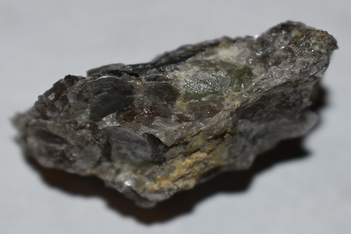


Ednor Steatite Locality, Ednor, Montgomery County, Maryland, USA