| Locality | Latitude | Longitude | Distance | Bearing |
|---|
| Starkweather copper prospects (Edwards Mine; Wisconsin Mine), Douglas County, Wisconsin, USA | 46° 34' 59" N | 91° 57' 59" W | 3.1km (1.9 miles) | |
| Sam Anderson Quarry, Douglas County, Wisconsin, USA | 46° 35' 49" N | 91° 56' 6" W | 3.9km (2.4 miles) | |
| George Larson Quarry, Douglas County, Wisconsin, USA | 46° 34' 24" N | 91° 57' 50" W | 4.1km (2.6 miles) | |
| Unnamed prospect (MRDS - 10082911), Flannagan Fire Tower, Douglas County, Wisconsin, USA | 46° 34' 59" N | 91° 56' 31" W | 4.2km (2.6 miles) | |
| Flannagan Fire Tower Quarry, Douglas County, Wisconsin, USA | 46° 35' 9" N | 91° 56' 8" W | 4.4km (2.7 miles) | |
| Flannagan Fire Tower, Douglas County, Wisconsin, USA | 46° 35' 7" N | 91° 56' 9" W | 4.4km (2.7 miles) | |
| Amicon copper prospect, Douglas County, Wisconsin, USA | 46° 34' 5" N | 91° 58' 37" W | 4.5km (2.8 miles) | |
| Johnson Materials Co. Quarry, Douglas County, Wisconsin, USA | 46° 35' 26" N | 91° 55' 49" W | 4.5km (2.8 miles) | |
| South Range Quarry, South Range, Douglas County, Wisconsin, USA | 46° 35' 13" N | 91° 55' 57" W | 4.5km (2.8 miles) | |
| Mabel Nelson Road Quarry, Douglas County, Wisconsin, USA | 46° 33' 48" N | 92° 0' 6" W | 5.1km (3.2 miles) | |
| Unnamed prospect (MRDS - 10082925), Rockmont, Douglas County, Wisconsin, USA | 46° 34' 59" N | 91° 55' 10" W | 5.6km (3.5 miles) | |
| Robert Missine Quarry, Douglas County, Wisconsin, USA | 46° 35' 48" N | 91° 54' 29" W | 5.9km (3.7 miles) | |
| Fond du Lac copper prospect, Douglas County, Wisconsin, USA | 46° 33' 47" N | 92° 1' 50" W | 6.2km (3.8 miles) | |
| Rockmont, Douglas County, Wisconsin, USA | 46° 35' 8" N | 91° 54' 31" W | 6.2km (3.9 miles) | |
| Buckley Quarry, Amnicon Falls, Douglas County, Wisconsin, USA | 46° 36' 2" N | 91° 53' 54" W | 6.5km (4.1 miles) | |
| Unnamed prospect (MRDS - 10082929), Sunnyside, Douglas County, Wisconsin, USA | 46° 33' 20" N | 92° 1' 54" W | 6.9km (4.3 miles) | |
| Amnicon Falls, Douglas County, Wisconsin, USA | 46° 36' 13" N | 91° 53' 23" W | 7.2km (4.5 miles) | |
| Granum Quarry, Douglas County, Wisconsin, USA | 46° 33' 48" N | 92° 3' 56" W | 8.0km (5.0 miles) | |
| Copper Creek Quarry No. 2, Douglas County, Wisconsin, USA | 46° 33' 34" N | 92° 4' 44" W | 9.1km (5.6 miles) | |
| North Wisconsin prospect, Douglas County, Wisconsin, USA | 46° 34' 28" N | 91° 51' 57" W | 9.7km (6.0 miles) | |
| Copper Creek Quarry No. 1, Douglas County, Wisconsin, USA | 46° 33' 36" N | 92° 5' 22" W | 9.7km (6.0 miles) | |
| Copper Creek prospects, Douglas County, Wisconsin, USA | 46° 32' 53" N | 92° 5' 56" W | 11.0km (6.9 miles) | |
| Catlin test pits, Douglas County, Wisconsin, USA | 46° 30' 28" N | 91° 58' 42" W | 11.2km (6.9 miles) | |
| Chippewa Mine, Douglas County, Wisconsin, USA | 46° 35' 21" N | 91° 50' 3" W | 11.6km (7.2 miles) | |
| Big Manitou Falls Quarry, Douglas County, Wisconsin, USA | 46° 32' 21" N | 92° 7' 5" W | 12.8km (8.0 miles) | |
| Unnamed prospect (MRDS - 10082914), Lakeside Cemetery, Douglas County, Wisconsin, USA | 46° 39' 19" N | 91° 48' 51" W | 14.0km (8.7 miles) | |
| Lakeside Cemetery, Douglas County, Wisconsin, USA | 46° 38' 56" N | 91° 48' 22" W | 14.3km (8.9 miles) | |
| Smith Quarry, Douglas County, Wisconsin, USA | 46° 43' 0" N | 92° 5' 30" W | 14.6km (9.1 miles) | |
| Stupak Quarry (McLean Construction Company), Douglas County, Wisconsin, USA | 46° 31' 31" N | 92° 9' 2" W | 15.8km (9.8 miles) | |
| Culligan, Douglas County, Wisconsin, USA | 46° 30' 47" N | 92° 9' 19" W | 16.8km (10.5 miles) | |
Minerals recorded nearby (within 16.8 km)
Rock types recorded nearby (within 16.8 km)
Entries shown in red are rocks recorded for this region.


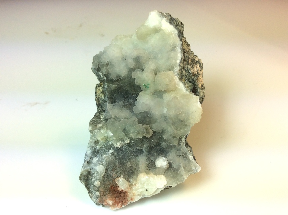

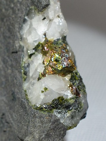


Buckley Quarry, Amnicon Falls, Douglas County, Wisconsin, USA