| Locality | Latitude | Longitude | Distance | Bearing |
|---|
| Lazy Jim Mine, Sumpter, Baker County, Oregon, USA | 44° 41' 8" N | 118° 11' 53" W | 1.7km (1.1 miles) | |
| Unnamed Gold Prospect (MRDS - 10215904), Baker County, Oregon, USA | 44° 42' 38" N | 118° 15' 6" W | 5.6km (3.5 miles) | |
| Unnamed stone pit [1], Sumpter, Baker County, Oregon, USA | 44° 42' 42" N | 118° 9' 50" W | 5.7km (3.5 miles) | |
| O'Brien Manganese Prospect, Baker County, Oregon, USA | 44° 42' 14" N | 118° 16' 0" W | 5.9km (3.7 miles) | |
| Hawes and Lafferty Manganese Prospect, Baker County, Oregon, USA | 44° 41' 44" N | 118° 16' 27" W | 6.0km (3.7 miles) | |
| Corey Meddow Mine, Baker County, Oregon, USA | 44° 43' 8" N | 118° 15' 23" W | 6.6km (4.1 miles) | |
| Gardner Mine (Northey Ranch deposit), Sumpter, Baker County, Oregon, USA | 44° 43' 35" N | 118° 10' 18" W | 6.7km (4.2 miles) | |
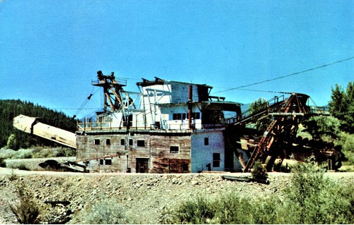
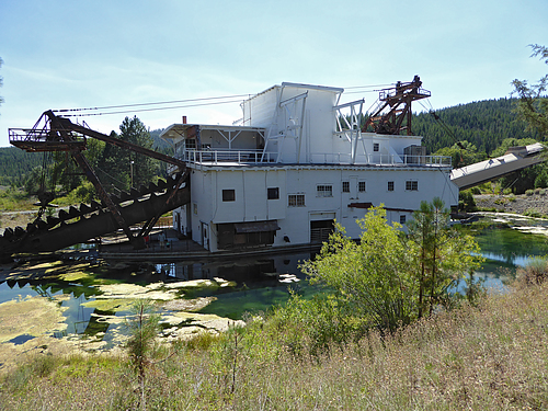
| Little; Harris & Wolfinger dredge (Little Harris and Wolfinger dredge; Nutting K R Dredging Company), Sumpter, Baker County, Oregon, USA | 44° 44' 2" N | 118° 12' 0" W | 7.0km (4.3 miles) | |
| Caps Lode Claim (Black Cap Group; Foster Claims), Baker County, Oregon, USA | 44° 43' 0" N | 118° 16' 5" W | 7.0km (4.3 miles) | |
| Dry Creek Manganese (Black Cap Group; Ranes Prospect), Greenhorn Mining District, Baker County, Oregon, USA | 44° 43' 8" N | 118° 16' 31" W | 7.5km (4.7 miles) | |
| Sumpter Valley Dredging Company, Baker County, Oregon, USA | 44° 42' 0" N | 118° 7' 0" W | 7.8km (4.9 miles) | |
| Golden Chariot Mining & Milling occurrence (Tri-State Mining & Milling), Sumpter, Baker County, Oregon, USA | 44° 44' 20" N | 118° 9' 44" W | 8.3km (5.2 miles) | |
| Standard Consolidated Mine, Sumpter, Baker County, Oregon, USA | 44° 44' 44" N | 118° 12' 0" W | 8.3km (5.2 miles) | |
| Sumpter, Baker County, Oregon, USA | 44° 44' 45" N | 118° 11' 57" W | 8.3km (5.2 miles) | |
| Jay Gould Group, Greenhorn Mining District, Baker County, Oregon, USA | 44° 42' 51" N | 118° 17' 57" W | 8.7km (5.4 miles) | |
| Midnight prospect, Greenhorn Mining District, Baker County, Oregon, USA | 44° 44' 26" N | 118° 15' 42" W | 8.8km (5.5 miles) | |
| Unnamed Au prospect [1], Sumpter, Baker County, Oregon, USA | 44° 45' 1" N | 118° 11' 29" W | 8.9km (5.5 miles) | |
| England and Hilliard placer (England and Hilliard placer dredge), Sumpter, Baker County, Oregon, USA | 44° 41' 21" N | 118° 5' 45" W | 9.0km (5.6 miles) | |
| Hindman Placer, Greenhorn Mining District, Baker County, Oregon, USA | 44° 41' 27" N | 118° 19' 5" W | 9.1km (5.6 miles) | |
| Ellis Mine (Merry Agness), Sumpter, Baker County, Oregon, USA | 44° 45' 11" N | 118° 12' 37" W | 9.1km (5.6 miles) | |
| Meyers Rock pit, Sumpter, Baker County, Oregon, USA | 44° 45' 11" N | 118° 12' 34" W | 9.1km (5.7 miles) | |
| Unnamed Au prospect [2], Sumpter, Baker County, Oregon, USA | 44° 45' 8" N | 118° 10' 54" W | 9.2km (5.7 miles) | |
| Aldora claim, Sumpter, Baker County, Oregon, USA | 44° 45' 18" N | 118° 11' 16" W | 9.4km (5.9 miles) | |
| Unnamed stone pit [3], Baker County, Oregon, USA | 44° 41' 8" N | 118° 5' 15" W | 9.6km (6.0 miles) | |
| Unnamed Gold Prospect (MRDS - 10127893), Baker County, Oregon, USA | 44° 35' 12" N | 118° 13' 55" W | 9.6km (6.0 miles) | |
| Downey placer, Sumpter, Baker County, Oregon, USA | 44° 45' 29" N | 118° 13' 10" W | 9.7km (6.0 miles) | |
| Consuelo Oregon Mines (Consuelo Oregon Mines placer dredge; Sumpter dredges), Sumpter, Baker County, Oregon, USA | 44° 45' 35" N | 118° 12' 15" W | 9.9km (6.1 miles) | |
| Unnamed Au prospect [4], Sumpter, Baker County, Oregon, USA | 44° 45' 24" N | 118° 9' 33" W | 10.2km (6.4 miles) | |
| Unnamed Au prospect [3], Sumpter, Baker County, Oregon, USA | 44° 45' 38" N | 118° 10' 19" W | 10.3km (6.4 miles) | |
| Unnamed Au occurrence [5], Sumpter, Baker County, Oregon, USA | 44° 45' 50" N | 118° 14' 26" W | 10.6km (6.6 miles) | |
Minerals recorded nearby (within 10.6 km)
Rock types recorded nearby (within 10.6 km)
Entries shown in red are rocks recorded for this region.


Deer Creek placer, Sumpter, Baker County, Oregon, USA