| Locality | Latitude | Longitude | Distance | Bearing |
|---|
| Oakwood Salt shaft, Detroit, Wayne County, Michigan, USA | 42° 17' 12" N | 83° 9' 11" W | 3.9km (2.4 miles) | |
| Detroit Salt Company Mine (International Salt Company Mine), Detroit, Wayne County, Michigan, USA | 42° 17' 8" N | 83° 9' 0" W | 3.9km (2.4 miles) | |
| Wyandotte wells, Wayne County, Michigan, USA | 42° 13' 13" N | 83° 8' 43" W | 4.9km (3.0 miles) | |
| Ojibway Mine, Windsor, Essex County, Ontario, Canada | 42° 15' 20" N | 83° 6' 2" W | 6.4km (3.9 miles) | |
| Clippert Brick and Tile Company Pit, Wayne County, Michigan, USA | 42° 18' 56" N | 83° 8' 43" W | 7.0km (4.4 miles) | |
| Ford Clay Pit, Wayne County, Michigan, USA | 42° 17' 30" N | 83° 16' 59" W | 9.5km (5.9 miles) | |
| Sibley Quarry, Trenton, Wayne County, Michigan, USA | 42° 9' 51" N | 83° 10' 54" W | 10.3km (6.4 miles) | |
| McGregor Quarry, Anderdon Township, Essex County, Ontario, Canada | 42° 9' 33" N | 83° 0' 42" W | 17.5km (10.9 miles) | |
| Gibralter, Wayne County, Michigan, USA | 42° 5' 57" N | 83° 12' 50" W | 17.8km (11.1 miles) | |
| Bunte Brothers Tile Company Clay Pit, Wayne County, Michigan, USA | 42° 6' 42" N | 83° 17' 52" W | 18.9km (11.8 miles) | |
| Flat Rock quarry, Wayne County, Michigan, USA | 42° 6' 14" N | 83° 16' 45" W | 19.0km (11.8 miles) | |
| Amherstburg Quarry, Malden Township, Essex County, Ontario, Canada | 42° 5' 48" N | 83° 5' 12" W | 19.3km (12.0 miles) | |
| Beardsley Brothers Clay Pit, Wayne County, Michigan, USA | 42° 25' 24" N | 83° 15' 2" W | 19.4km (12.1 miles) | |
| Lightweight Aggregate Corp. Pit, Wayne County, Michigan, USA | 42° 22' 48" N | 83° 21' 24" W | 20.1km (12.5 miles) | |
| Ottawa Silica Company Quarry (Rockwood Quarry), Rockwood, Wayne County, Michigan, USA | 42° 3' 39" N | 83° 13' 51" W | 22.3km (13.8 miles) | |
| South Rockwood Clay Mine (Ritter and Sons Company), South Rockwood, Berlin Charter Township, Monroe County, Michigan, USA | 42° 3' 24" N | 83° 15' 20" W | 23.2km (14.4 miles) | |
| Ritter's Clay Pit, Berlin Charter Township, Monroe County, Michigan, USA | 42° 2' 48" N | 83° 15' 20" W | 24.3km (15.1 miles) | |
| Holloway Quarry, Newport, Berlin Charter Township, Monroe County, Michigan, USA | 42° 0' 33" N | 83° 14' 8" W | 28.0km (17.4 miles) | |
| Newport Quarry, Newport, Berlin Charter Township, Monroe County, Michigan, USA | 42° 0' 20" N | 83° 14' 0" W | 28.4km (17.6 miles) | |
| Alliance Brick Company Clay Pit, Macomb County, Michigan, USA | 42° 30' 29" N | 83° 2' 7" W | 30.3km (18.8 miles) | |
| Newport, Berlin Charter Township, Monroe County, Michigan, USA | 42° 0' 7" N | 83° 18' 30" W | 30.3km (18.9 miles) | |
| Unnamed quarry, Newport, Berlin Charter Township, Monroe County, Michigan, USA | 42° 0' 29" N | 83° 20' 22" W | 30.8km (19.1 miles) | |
| Daniels Clay Pit (Birmingham Brick and Tile Company), Oakland County, Michigan, USA | 42° 32' 15" N | 83° 12' 45" W | 31.3km (19.4 miles) | |
| Unnamed placer, Birmingham, Oakland County, Michigan, USA | 42° 32' 48" N | 83° 12' 51" W | 32.3km (20.1 miles) | |
| Warren Brick Company Clay Pit, Macomb County, Michigan, USA | 42° 32' 7" N | 83° 2' 25" W | 32.9km (20.4 miles) | |
| Bigelow Clay Products Company clay pit, Oakland County, Michigan, USA | 42° 31' 54" N | 83° 19' 40" W | 32.9km (20.5 miles) | |
| Enrico Fermi Atomic Energy Plant Quarry, Point aux Peaux (Stony Point), Frenchtown Charter Township, Monroe County, Michigan, USA | 41° 57' 38" N | 83° 15' 28" W | 33.6km (20.9 miles) | |
| East Gass's Clay Pit, Macomb County, Michigan, USA | 42° 30' 50" N | 82° 57' 34" W | 33.7km (20.9 miles) | |
| Brest, Point aux Peaux (Stony Point), Frenchtown Charter Township, Monroe County, Michigan, USA | 41° 57' 11" N | 83° 16' 27" W | 34.7km (21.6 miles) | |
| Paint Creek Clay deposit, Washtenaw County, Michigan, USA | 42° 12' 21" N | 83° 37' 5" W | 36.7km (22.8 miles) | |


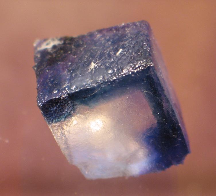


Detroit Salt Company Mine, Detroit, Wayne County, Michigan, USA