| Locality | Latitude | Longitude | Distance | Bearing |
|---|
| Ladd Lime and Cement Co. Quarry, Cartersville, Cartersville Mining District, Bartow County, Georgia, USA | 34° 8' 0" N | 84° 50' 0" W | 0.0km (0.0 miles) | |
| Unnamed Iron Deposit (10119249), Bartow County, Georgia, USA | 34° 6' 43" N | 84° 47' 58" W | 3.9km (2.4 miles) | |
| Unnamed Iron Deposit (10143783), Bartow County, Georgia, USA | 34° 6' 49" N | 84° 47' 48" W | 4.0km (2.5 miles) | |
| Cyprus Thompson Weinman Mine (Cartersville Operation), Bartow County, Georgia, USA | 34° 8' 44" N | 84° 47' 9" W | 4.6km (2.8 miles) | |
| Cain Mining Bartow Operations, Bartow County, Georgia, USA | 34° 9' 48" N | 84° 47' 53" W | 4.6km (2.9 miles) | |
| Cartersville, Emerson, Cartersville Mining District, Bartow County, Georgia, USA | 34° 9' 54" N | 84° 47' 59" W | 4.7km (2.9 miles) | |
| Cartersville, Cartersville Mining District, Bartow County, Georgia, USA | 34° 10' 0" N | 84° 48' 0" W | 4.8km (3.0 miles) | |
| Wyvern Mine, Wyvern Station, Cartersville, Cartersville Mining District, Bartow County, Georgia, USA | 34° 10' 0" N | 84° 48' 0" W | 4.8km (3.0 miles) | |
| PAGA Mine, Cartersville Mining District, Bartow County, Georgia, USA | 34° 8' 15" N | 84° 46' 49" W | 4.9km (3.0 miles) | |
| Unnamed Barium Deposit (10192022), Bartow County, Georgia, USA | 34° 7' 49" N | 84° 46' 44" W | 5.0km (3.1 miles) | |
| Lots 551; 552, Bartow County, Georgia, USA | 34° 9' 18" N | 84° 47' 4" W | 5.1km (3.2 miles) | |
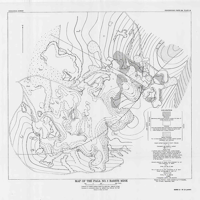
| Paga No. 1 Mine, PAGA Mine, Cartersville Mining District, Bartow County, Georgia, USA | 34° 7' 59" N | 84° 46' 37" W | 5.2km (3.2 miles) | |
| Paga No. 2 Mine, PAGA Mine, Cartersville Mining District, Bartow County, Georgia, USA | 34° 7' 42" N | 84° 46' 37" W | 5.2km (3.2 miles) | |
| Winterbottom Mine, Bartow County, Georgia, USA | 34° 8' 15" N | 84° 46' 35" W | 5.3km (3.3 miles) | |
| Unnamed Barium Deposit (10144184), Bartow County, Georgia, USA | 34° 7' 38" N | 84° 46' 28" W | 5.5km (3.4 miles) | |
| Unnamed Ocher Deposit (10119002), Bartow County, Georgia, USA | 34° 8' 18" N | 84° 46' 27" W | 5.5km (3.4 miles) | |
| Unnamed Barium Deposit (10216084), Bartow County, Georgia, USA | 34° 7' 1" N | 84° 46' 35" W | 5.5km (3.4 miles) | |
| Unnamed Ocher Deposit (10144090), Bartow County, Georgia, USA | 34° 8' 34" N | 84° 46' 25" W | 5.6km (3.5 miles) | |
| Reservoir Hill Mine, Bartow County, Georgia, USA | 34° 9' 37" N | 84° 46' 55" W | 5.6km (3.5 miles) | |
| Clayton Mine, Bartow County, Georgia, USA | 34° 9' 43" N | 84° 46' 59" W | 5.6km (3.5 miles) | |
| Unnamed Ocher Deposit (10144006), Bartow County, Georgia, USA | 34° 8' 37" N | 84° 46' 25" W | 5.6km (3.5 miles) | |
| Unnamed Barium Deposit (10215930), Bartow County, Georgia, USA | 34° 9' 17" N | 84° 46' 40" W | 5.7km (3.5 miles) | |
| Unnamed Ocher Deposit (10240815), Bartow County, Georgia, USA | 34° 8' 36" N | 84° 46' 20" W | 5.7km (3.6 miles) | |
| Big Creek Mine, Bartow County, Georgia, USA | 34° 10' 15" N | 84° 47' 26" W | 5.7km (3.6 miles) | |
| Unnamed Ocher Deposit (10143856), Bartow County, Georgia, USA | 34° 8' 38" N | 84° 46' 20" W | 5.7km (3.6 miles) | |
| Unnamed Ocher Deposit (10216265), Bartow County, Georgia, USA | 34° 8' 29" N | 84° 46' 15" W | 5.8km (3.6 miles) | |
| Georgia Peruvian Mine, Bartow County, Georgia, USA | 34° 8' 32" N | 84° 46' 15" W | 5.8km (3.6 miles) | |
| Carterville Area, Bartow County, Georgia, USA | 34° 9' 0" N | 84° 46' 20" W | 5.9km (3.7 miles) | |
| Barite Mining Company Mine, Bartow County, Georgia, USA | 34° 9' 31" N | 84° 46' 35" W | 5.9km (3.7 miles) | |
| Lots 604; 605 Mine, Bartow County, Georgia, USA | 34° 9' 5" N | 84° 46' 20" W | 5.9km (3.7 miles) | |
Minerals recorded nearby (within 5.9 km)
Rock types recorded nearby (within 5.9 km)
Entries shown in red are rocks recorded for this region.


Cartersville, Cartersville Mining District, Bartow County, Georgia, USA