| Locality | Latitude | Longitude | Distance | Bearing |
|---|
| Copperthwaite Vein, Marrick, Richmondshire, North Yorkshire, England, UK | 54° 23' 55" N | 1° 53' 59" W | 0.7km (0.5 miles) | |
| Marrick Low Lead Smelt Mill slag locality, Marrick, Richmondshire, North Yorkshire, England, UK | 54° 23' 40" N | 1° 53' 4" W | 1.5km (0.9 miles) | |
| Black Shaft, Marrick, Richmondshire, North Yorkshire, England, UK | 54° 24' 40" N | 1° 55' 41" W | 2.0km (1.3 miles) | |
| Coal Shafts, Marrick, Richmondshire, North Yorkshire, England, UK | 54° 24' 40" N | 1° 55' 41" W | 2.0km (1.3 miles) | |
| Fremington Edge Lead Workings, Reeth, Fremington and Healaugh, Richmondshire, North Yorkshire, England, UK | 54° 23' 52" N | 1° 55' 39" W | 2.1km (1.3 miles) | |
| Fremington Edge Chert Mine and Workings, Reeth, Fremington and Healaugh, Richmondshire, North Yorkshire, England, UK | 54° 23' 59" N | 1° 55' 50" W | 2.2km (1.4 miles) | |
| Jingle Pot, Reeth, Fremington and Healaugh, Richmondshire, North Yorkshire, England, UK | 54° 24' 15" N | 1° 55' 55" W | 2.2km (1.4 miles) | |
| Hurst Mines, Marrick, Richmondshire, North Yorkshire, England, UK | 54° 24' 54" N | 1° 55' 50" W | 2.4km (1.5 miles) | |
| Hind Rake, Marrick, Richmondshire, North Yorkshire, England, UK | 54° 24' 47" N | 1° 56' 18" W | 2.7km (1.7 miles) | |
| Copperthwaite Mine, Reeth, Fremington and Healaugh, Richmondshire, North Yorkshire, England, UK | 54° 23' 26" N | 1° 55' 57" W | 2.8km (1.7 miles) | |
| Coal Level, Marrick, Richmondshire, North Yorkshire, England, UK | 54° 25' 16" N | 1° 56' 32" W | 3.3km (2.1 miles) | |
| Fell End Mine, Slei Gill, Booze Moor, Arkengarthdale, Richmondshire, North Yorkshire, England, UK | 54° 24' 57" N | 1° 57' 57" W | 4.5km (2.8 miles) | |
| Sun Gutter Mine, Slei Gill, Booze Moor, Arkengarthdale, Richmondshire, North Yorkshire, England, UK | 54° 25' 17" N | 1° 58' 14" W | 5.0km (3.1 miles) | |
| Lower Slei Gill Hushes, Slei Gill, Booze Moor, Arkengarthdale, Richmondshire, North Yorkshire, England, UK | 54° 25' 4" N | 1° 58' 25" W | 5.1km (3.2 miles) | |
| Washy Green Mine, Slei Gill, Booze Moor, Arkengarthdale, Richmondshire, North Yorkshire, England, UK | 54° 25' 39" N | 1° 58' 5" W | 5.2km (3.2 miles) | |
| Calver Hill, Reeth, Fremington and Healaugh, Richmondshire, North Yorkshire, England, UK | 54° 24' 2" N | 1° 58' 47" W | 5.3km (3.3 miles) | |
| Booze Wood Mine, Slei Gill, Booze Moor, Arkengarthdale, Richmondshire, North Yorkshire, England, UK | 54° 24' 50" N | 1° 58' 44" W | 5.3km (3.3 miles) | |
| Devis Hole Mine, Grinton, Richmondshire, North Yorkshire, England, UK | 54° 21' 33" N | 1° 55' 17" W | 5.3km (3.3 miles) | |
| Haggs Gill Mine, Grinton, Richmondshire, North Yorkshire, England, UK | 54° 21' 33" N | 1° 55' 17" W | 5.3km (3.3 miles) | |
| Grinton Lead Mine, Grinton, Richmondshire, North Yorkshire, England, UK | 54° 21' 40" N | 1° 56' 1" W | 5.4km (3.4 miles) | |
| Tanner's Rake (Primrose Vein; Slack Vein), Slei Gill, Booze Moor, Arkengarthdale, Richmondshire, North Yorkshire, England, UK | 54° 25' 26" N | 1° 58' 47" W | 5.7km (3.5 miles) | |
| Feldom Mines, Marske, Richmondshire, North Yorkshire, England, UK | 54° 26' 5" N | 1° 49' 21" W | 5.9km (3.6 miles) | |
| Grinton Moor Colliery, Grinton, Richmondshire, North Yorkshire, England, UK | 54° 21' 24" N | 1° 56' 7" W | 5.9km (3.7 miles) | |
| Thorpe Edge Pits, Richmondshire, North Yorkshire, England, UK | 54° 23' 59" N | 1° 48' 7" W | 6.2km (3.9 miles) | |
| Harker Mine and Hushes, Reeth, Fremington and Healaugh, Richmondshire, North Yorkshire, England, UK | 54° 22' 19" N | 1° 58' 36" W | 6.3km (3.9 miles) | |
| Bellerby Colliery, Richmondshire, North Yorkshire, England, UK | 54° 20' 44" N | 1° 52' 55" W | 6.7km (4.2 miles) | |
| Windegg Lead level and Alcock Hushes, Langthwaite, Arkengarthdale, Richmondshire, North Yorkshire, England, UK | 54° 26' 30" N | 1° 58' 53" W | 6.7km (4.2 miles) | |
| Singing Shaft, Redmire, Richmondshire, North Yorkshire, England, UK | 54° 20' 44" N | 1° 55' 3" W | 6.8km (4.2 miles) | |
| Hudswell Colliery, Richmondshire, North Yorkshire, England, UK | 54° 23' 10" N | 1° 47' 53" W | 6.8km (4.2 miles) | |
| Preston Moor Colliery, Preston-Under-Scar, Richmondshire, North Yorkshire, England, UK | 54° 20' 39" N | 1° 54' 5" W | 6.8km (4.2 miles) | |
Minerals recorded nearby (within 6.8 km)
Rock types recorded nearby (within 6.8 km)
Entries shown in red are rocks recorded for this region.

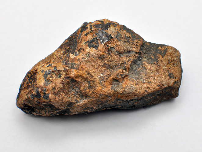


Hurst Mines, Marrick, Richmondshire, North Yorkshire, England, UK