| Locality | Latitude | Longitude | Distance | Bearing |
|---|
| Keeler, Inyo Mts (Inyo Range), Inyo County, California, USA | 36° 29' 13" N | 117° 52' 23" W | 0.2km (0.1 miles) | |
| White Star Talc claim, Swansea, Inyo Mts (Inyo Range), Inyo County, California, USA | 36° 31' 23" N | 117° 52' 9" W | 3.9km (2.4 miles) | |
| Leary Mine, Swansea, Inyo Mts (Inyo Range), Inyo County, California, USA | 36° 31' 32" N | 117° 53' 47" W | 4.6km (2.8 miles) | |
| Swansea, Inyo Mts (Inyo Range), Inyo County, California, USA | 36° 31' 28" N | 117° 54' 11" W | 4.7km (2.9 miles) | |
| Sure Contest Mine, Estelle Mine (Troeger's tunnel), Cerro Gordo, Cerro Gordo Mining District, Inyo Mts (Inyo Range), Inyo County, California, USA | 36° 32' 17" N | 117° 51' 20" W | 5.8km (3.6 miles) | |
| Shafer occurrence, Cerro Gordo Peak Area, Inyo Mts (Inyo Range), Inyo County, California, USA | 36° 32' 11" N | 117° 50' 49" W | 5.8km (3.6 miles) | |
| Riff Raff Mine (Estelle & Morning Star Mine), Estelle Mine (Troeger's tunnel), Cerro Gordo, Cerro Gordo Mining District, Inyo Mts (Inyo Range), Inyo County, California, USA | 36° 32' 31" N | 117° 51' 9" W | 6.3km (3.9 miles) | |
| Reid group, Cerro Gordo Peak Area, Inyo Mts (Inyo Range), Inyo County, California, USA | 36° 32' 35" N | 117° 50' 54" W | 6.5km (4.0 miles) | |
| Estelle Mine (Troeger's tunnel), Cerro Gordo, Cerro Gordo Mining District, Inyo Mts (Inyo Range), Inyo County, California, USA | 36° 31' 18" N | 117° 48' 51" W | 6.5km (4.1 miles) | |
| Swansea Mine (Pennsylvania Mine; Queen of the Mountains Mine), Swansea, Inyo Mts (Inyo Range), Inyo County, California, USA | 36° 32' 23" N | 117° 54' 37" W | 6.5km (4.1 miles) | |
| Wiggington occurrence, Swansea, Inyo Mts (Inyo Range), Inyo County, California, USA | 36° 32' 44" N | 117° 51' 5" W | 6.7km (4.2 miles) | |
| Irwin occurrence, Cerro Gordo Peak Area, Inyo Mts (Inyo Range), Inyo County, California, USA | 36° 32' 15" N | 117° 49' 47" W | 6.7km (4.2 miles) | |
| Keeler Mine (Keeler Gold Mines; Kruger Mine), Keeler, Inyo Mts (Inyo Range), Inyo County, California, USA | 36° 27' 16" N | 117° 48' 42" W | 6.8km (4.2 miles) | |
| Unnamed Au prospect [15], Owens Lake, Olancha, Owens Valley, Inyo County, California, USA | 36° 27' 46" N | 117° 56' 35" W | 6.8km (4.2 miles) | |
| Robin Hood occurrence, Cerro Gordo Peak Area, Inyo Mts (Inyo Range), Inyo County, California, USA | 36° 32' 47" N | 117° 50' 57" W | 6.8km (4.2 miles) | |
| Lucky Dog occurrence, Swansea, Inyo Mts (Inyo Range), Inyo County, California, USA | 36° 32' 47" N | 117° 50' 48" W | 6.9km (4.3 miles) | |
| Townsend occurrence, Swansea, Inyo Mts (Inyo Range), Inyo County, California, USA | 36° 32' 54" N | 117° 51' 11" W | 6.9km (4.3 miles) | |
| Golden Reef occurrence, Cerro Gordo, Cerro Gordo Mining District, Inyo Mts (Inyo Range), Inyo County, California, USA | 36° 32' 26" N | 117° 49' 47" W | 7.0km (4.4 miles) | |
| Gordon occurrence, Cerro Gordo, Cerro Gordo Mining District, Inyo Mts (Inyo Range), Inyo County, California, USA | 36° 32' 31" N | 117° 49' 56" W | 7.0km (4.4 miles) | |
| Tibbals Copper prospect, Swansea, Inyo Mts (Inyo Range), Inyo County, California, USA | 36° 33' 7" N | 117° 52' 8" W | 7.1km (4.4 miles) | |
| Bud's Hope prospect, Swansea, Inyo Mts (Inyo Range), Inyo County, California, USA | 36° 33' 5" N | 117° 53' 32" W | 7.2km (4.4 miles) | |
| Givens occurrence, Cerro Gordo, Cerro Gordo Mining District, Inyo Mts (Inyo Range), Inyo County, California, USA | 36° 32' 36" N | 117° 49' 53" W | 7.2km (4.5 miles) | |
| Lost Frenchman occurrence, Cerro Gordo Peak Area, Inyo Mts (Inyo Range), Inyo County, California, USA | 36° 32' 54" N | 117° 50' 35" W | 7.2km (4.5 miles) | |
| Ventura Mine (Silver Reef claim; Sunset claim), Cerro Gordo, Cerro Gordo Mining District, Inyo Mts (Inyo Range), Inyo County, California, USA | 36° 32' 4" N | 117° 48' 59" W | 7.3km (4.5 miles) | |
| Silver Reef prospect, Swansea, Inyo Mts (Inyo Range), Inyo County, California, USA | 36° 32' 57" N | 117° 54' 28" W | 7.4km (4.6 miles) | |
| Ventura Mine (Silver Reef claim; Sunset), Cerro Gordo Peak Area, Inyo Mts (Inyo Range), Inyo County, California, USA | 36° 32' 5" N | 117° 48' 56" W | 7.4km (4.6 miles) | |
| Inoen Lead and Silver Mining Company property, Cerro Gordo, Cerro Gordo Mining District, Inyo Mts (Inyo Range), Inyo County, California, USA | 36° 32' 53" N | 117° 50' 12" W | 7.4km (4.6 miles) | |
| Flagstaff Mine, Swansea, Inyo Mts (Inyo Range), Inyo County, California, USA | 36° 33' 17" N | 117° 53' 50" W | 7.7km (4.8 miles) | |
| Ella Mine (Ella group), Cerro Gordo, Cerro Gordo Mining District, Inyo Mts (Inyo Range), Inyo County, California, USA | 36° 32' 26" N | 117° 48' 56" W | 7.8km (4.9 miles) | |
| Mayflower group, Cerro Gordo, Cerro Gordo Mining District, Inyo Mts (Inyo Range), Inyo County, California, USA | 36° 32' 27" N | 117° 48' 56" W | 7.9km (4.9 miles) | |
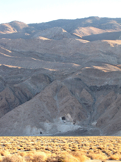
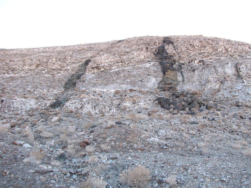


Keeler, Inyo Mts, Inyo County, California, USA