| Locality | Latitude | Longitude | Distance | Bearing |
|---|
| Copper Mountain Mine (Salt Lake Copper Company), Box Elder County, Utah, USA | 41° 14' 56" N | 114° 1' 0" W | 0.0km (0.0 miles) | |
| Vesurius Tunnel Occurrence, Box Elder County, Utah, USA | 41° 14' 57" N | 114° 1' 4" W | 0.1km (0.1 miles) | |
| Green Carbonate Mine, Box Elder County, Utah, USA | 41° 14' 48" N | 114° 1' 0" W | 0.2km (0.2 miles) | |
| Head of Regulator Canyon, Box Elder County, Utah, USA | 41° 15' 6" N | 114° 1' 6" W | 0.3km (0.2 miles) | |
| Southwest Copper Mountain Workings Occurrence, Box Elder County, Utah, USA | 41° 14' 51" N | 114° 1' 14" W | 0.4km (0.2 miles) | |
| Walker Tunnel, Box Elder County, Utah, USA | 41° 15' 6" N | 114° 0' 46" W | 0.4km (0.3 miles) | |
| Rip Van Winkle Mine (Copper Mountain No. 39; Gretchen), Box Elder County, Utah, USA | 41° 15' 14" N | 114° 0' 51" W | 0.6km (0.3 miles) | |
| Annex, Box Elder County, Utah, USA | 41° 15' 15" N | 114° 1' 4" W | 0.6km (0.4 miles) | |
| Gladstone, Box Elder County, Utah, USA | 41° 15' 19" N | 114° 0' 54" W | 0.7km (0.4 miles) | |
| Southeast Copper Mountain Tunnel Occurrence, Box Elder County, Utah, USA | 41° 14' 35" N | 114° 0' 29" W | 1.0km (0.6 miles) | |
| Mineral Mountain Mine No. 1, Box Elder County, Utah, USA | 41° 14' 44" N | 114° 1' 48" W | 1.2km (0.7 miles) | |
| Minmobar Occurrence, Box Elder County, Utah, USA | 41° 14' 35" N | 114° 1' 48" W | 1.3km (0.8 miles) | |
| Governors Loop, Box Elder County, Utah, USA | 41° 15' 21" N | 114° 0' 8" W | 1.4km (0.9 miles) | |
| Upper Mineral Mountain, Box Elder County, Utah, USA | 41° 14' 32" N | 114° 1' 54" W | 1.5km (0.9 miles) | |
| Tecoma Hill South (Independence; Empire), Tecoma Hill, Box Elder County, Utah, USA | 41° 14' 48" N | 114° 2' 3" W | 1.5km (0.9 miles) | |
| Tecoma Hill North Occurrence, Tecoma Hill, Box Elder County, Utah, USA | 41° 14' 56" N | 114° 2' 8" W | 1.6km (1.0 miles) | |
| Tecoma Hill No. 15 Mine, Tecoma Hill, Box Elder County, Utah, USA | 41° 14' 49" N | 114° 2' 11" W | 1.7km (1.0 miles) | |
| Black Warrior, Box Elder County, Utah, USA | 41° 14' 57" N | 114° 2' 14" W | 1.7km (1.1 miles) | |
| Mine 51, Box Elder County, Utah, USA | 41° 15' 55" N | 114° 1' 28" W | 1.9km (1.2 miles) | |
| Tecoma Mine (Old Tecoma Mine), Tecoma Hill, Box Elder County, Utah, USA | 41° 14' 53" N | 114° 2' 22" W | 1.9km (1.2 miles) | |
| Tecoma claim group (Tecoma Hill property; Tecoma South Side; Sunset; and Patchee claims), Elko County, Nevada, USA | 41° 14' 55" N | 114° 2' 37" W | 2.2km (1.4 miles) | |
| Quartzite Canyon Occurrence, Box Elder County, Utah, USA | 41° 16' 0" N | 114° 1' 46" W | 2.3km (1.4 miles) | |
| Box Canyon, Box Elder County, Utah, USA | 41° 14' 2" N | 114° 2' 11" W | 2.4km (1.5 miles) | |
| East Canyon Occurrence, Box Elder County, Utah, USA | 41° 15' 45" N | 114° 2' 21" W | 2.4km (1.5 miles) | |
| Lucin-Copper Mountain Mine, Box Elder County, Utah, USA | 41° 16' 0" N | 114° 0' 0" W | 2.4km (1.5 miles) | |
| Bebar Occurrence, Box Elder County, Utah, USA | 41° 15' 38" N | 113° 59' 26" W | 2.5km (1.6 miles) | |
| Uneeta claim (Soliday claim), Elko County, Nevada, USA | 41° 15' 21" N | 114° 2' 48" W | 2.6km (1.6 miles) | |
| Cook Canyon, Box Elder County, Utah, USA | 41° 13' 27" N | 114° 1' 59" W | 3.1km (1.9 miles) | |
| Crysbar Occurrence, Box Elder County, Utah, USA | 41° 16' 54" N | 114° 1' 18" W | 3.6km (2.3 miles) | |
| Crystal Cave Occurrence, Box Elder County, Utah, USA | 41° 17' 3" N | 114° 1' 23" W | 4.0km (2.5 miles) | |
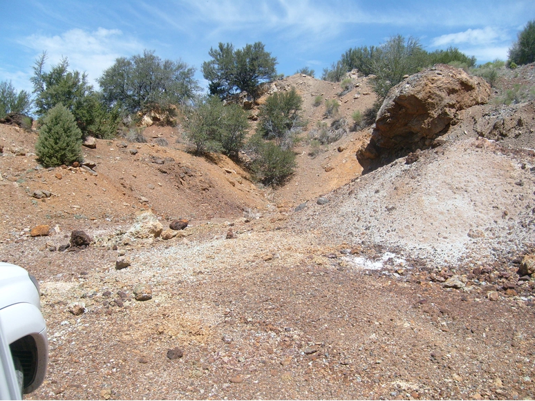


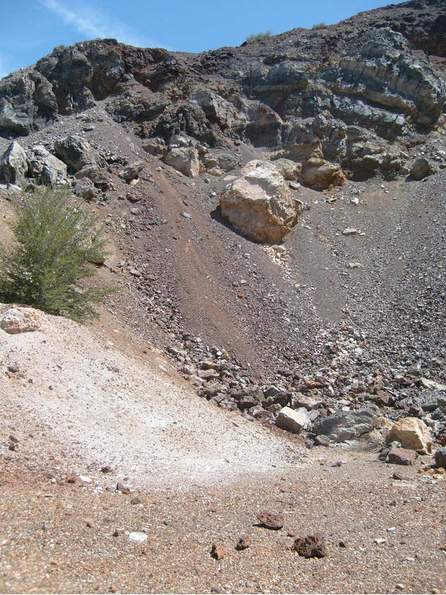


Copper Mountain Mine, Box Elder County, Utah, USA