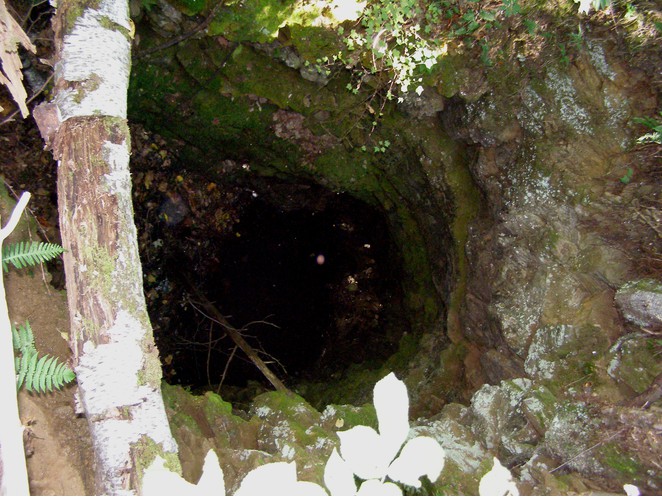
| Locality | Latitude | Longitude | Distance | Bearing |
|---|
| Globe Graphite mine, Elmsley Township, Lanark County, Ontario, Canada | 44° 51' 33" N | 76° 9' 34" W | 0.0km (0.0 miles) | |
| Perthite occurrence, North Burgess Township, Lanark County, Ontario, Canada | 44° 49' 4" N | 76° 12' 47" W | 6.3km (3.9 miles) | |
| Boyce Mine (Kent; Anglo-Canadian; Otty Lake), North Burgess Township, Lanark County, Ontario, Canada | 44° 50' 56" N | 76° 14' 38" W | 6.7km (4.2 miles) | |
| Cantin Mine, South Burgess Township, Leeds and Grenville Counties, Ontario, Canada | 44° 47' 56" N | 76° 10' 20" W | 6.8km (4.2 miles) | |
| Andrew Lake occurrence, North Burgess Township, Lanark County, Ontario, Canada | 44° 50' 50" N | 76° 14' 43" W | 6.9km (4.3 miles) | |
| Canton Lake occurrence, South Burgess Township, Leeds and Grenville Counties, Ontario, Canada | 44° 47' 47" N | 76° 10' 45" W | 7.2km (4.5 miles) | |
| Sand occurrence, North Burgess Township, Lanark County, Ontario, Canada | 44° 50' 4" N | 76° 14' 43" W | 7.3km (4.5 miles) | |
| MacLaren mine, North Burgess Township, Lanark County, Ontario, Canada | 44° 50' 12" N | 76° 15' 16" W | 7.9km (4.9 miles) | |
| Perth area, Lanark County, Ontario, Canada | 44° 53' 57" N | 76° 14' 53" W | 8.3km (5.1 miles) | |
| North Fox Occurrence, North Burgess Township, Lanark County, Ontario, Canada | 44° 47' 29" N | 76° 13' 41" W | 9.3km (5.8 miles) | |
| Rogers Mine (Nobles Bay Mine), North Burgess Township, Lanark County, Ontario, Canada | 44° 47' 30" N | 76° 14' 4" W | 9.6km (5.9 miles) | |
| Hanlon Mine, North Burgess Township, Lanark County, Ontario, Canada | 44° 47' 47" N | 76° 15' 38" W | 10.6km (6.6 miles) | |
| Byrnes Mine, North Burgess Township, Lanark County, Ontario, Canada | 44° 47' 49" N | 76° 15' 52" W | 10.8km (6.7 miles) | |
| Mica Pits, North Burgess Township, Lanark County, Ontario, Canada | 44° 46' 29" N | 76° 15' 0" W | 11.8km (7.3 miles) | |
| Baby Mine, North Burgess Township, Lanark County, Ontario, Canada | 44° 46' 18" N | 76° 15' 8" W | 12.2km (7.6 miles) | |
| Silver Queen Mine, North Burgess Township, Lanark County, Ontario, Canada | 44° 46' 14" N | 76° 15' 6" W | 12.2km (7.6 miles) | |
| Cornell mine, Bastard Township, Leeds and Grenville Counties, Ontario, Canada | 44° 44' 38" N | 76° 9' 28" W | 12.9km (8.0 miles) | |
| Pike Lake Mine, North Burgess Township, Lanark County, Ontario, Canada | 44° 48' 30" N | 76° 19' 39" W | 14.4km (8.9 miles) | |
| Lally Road phlogopite occurrence, North Burgess Township, Lanark County, Ontario, Canada | 44° 45' 56" N | 76° 17' 12" W | 14.4km (9.0 miles) | |
| Olympus Mine, North Burgess Township, Lanark County, Ontario, Canada | 44° 47' 56" N | 76° 19' 24" W | 14.6km (9.1 miles) | |
| Dewitts Southeast, Dewitts Corners area, Bathurst Township, Lanark County, Ontario, Canada | 44° 49' 59" N | 76° 20' 43" W | 14.9km (9.3 miles) | |
| Highway 15 km 68.9 roadcut, Bastard Township, Leeds and Grenville Counties, Ontario, Canada | 44° 43' 18" N | 76° 9' 51" W | 15.3km (9.5 miles) | |
| Dewitts Corners area, Bathurst Township, Lanark County, Ontario, Canada | 44° 49' 46" N | 76° 20' 59" W | 15.4km (9.5 miles) | |
| Lot 10, Concession 1, Dewitts Corners area, Bathurst Township, Lanark County, Ontario, Canada | 44° 49' 46" N | 76° 21' 5" W | 15.5km (9.6 miles) | |
| Dewitts Corners Mine, Dewitts Corners area, Bathurst Township, Lanark County, Ontario, Canada | 44° 49' 53" N | 76° 21' 17" W | 15.7km (9.8 miles) | |
| Dewitts South, Dewitts Corners area, Bathurst Township, Lanark County, Ontario, Canada | 44° 50' 8" N | 76° 21' 27" W | 15.8km (9.8 miles) | |
| Highway 15 km 67.7 roadcut, Bastard Township, Leeds and Grenville Counties, Ontario, Canada | 44° 42' 54" N | 76° 10' 27" W | 16.1km (10.0 miles) | |
| Bangs Baryte Pits, North Burgess Township, Lanark County, Ontario, Canada | 44° 48' 29" N | 76° 21' 29" W | 16.7km (10.4 miles) | |
| Portland area, Leeds and Grenville Counties, Ontario, Canada | 44° 41' 48" N | 76° 11' 30" W | 18.2km (11.3 miles) | |
| Timmins Mine, North Burgess Township, Lanark County, Ontario, Canada | 44° 44' 21" N | 76° 19' 15" W | 18.4km (11.5 miles) | |


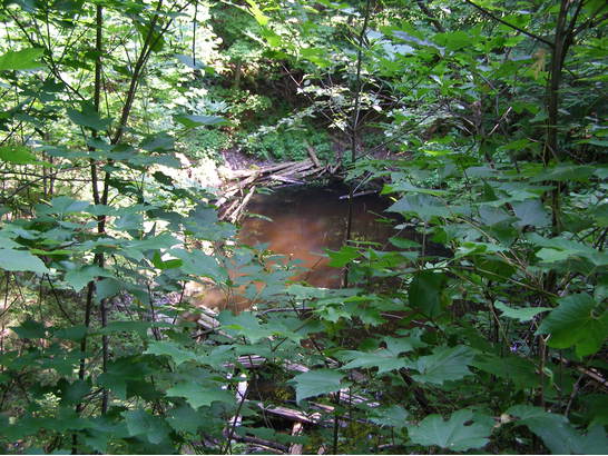


Canton Lake occurrence, South Burgess Township, Leeds and Grenville Counties, Ontario, Canada