West Warwick, Kent Co., Rhode Island, USA


| Latitude & Longitude (WGS84): | 41° 42' 13'' North , 71° 31' 7'' West |
|---|---|
| Latitude & Longitude (decimal): | 41.70361,-71.51861 |
| GeoHash: | G#: drmjhxctp |
| Köppen climate type: | Cfb : Temperate oceanic climate |
Originally part of Warwick, West Warwick was incorporated as a town in 1913.
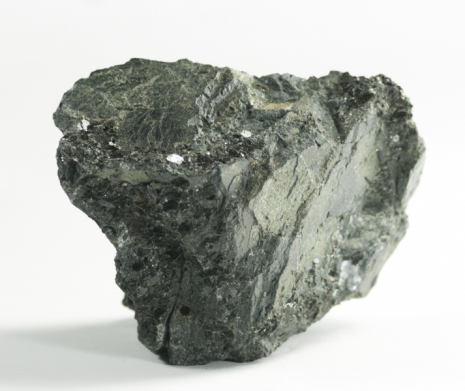
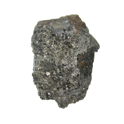
Mineral List
Mineral list contains entries from the region specified including sub-localities3 valid minerals.
Regional Geology
This geological map and associated information on rock units at or nearby to the coordinates given for this locality is based on relatively small scale geological maps provided by various national Geological Surveys. This does not necessarily represent the complete geology at this locality but it gives a background for the region in which it is found.
Click on geological units on the map for more information. Click here to view full-screen map on Macrostrat.org
| Famennian - Frasnian 358.9 - 382.7 Ma ID: 2989122 | Scituate Igneous Suite - alkali-feldspar granite Age: Late Devonian (358.9 - 382.7 Ma) Stratigraphic Name: Scituate Igneous Suite Description: Gray to pink, medium- to coarse-grained, porphyritic to subporphyritic alkali-feldspar granite (phenocrysts of perthite). Contains perthite, quartz, and accessory biotite, hornblende, and lesser riebeckite, aegerine, zircon, allanite, sphene, fluorite, and opaque minerals. Plagioclase is sparse to absent. Secondary muscovite, chlorite, and calcite. Ovoid clots of mafic and accessory minerals are locally prominent. Rock is a hypersolvus, mildly peralkaline granite. Fabric ranges from massive to locally lineated and foliated. Includes rock mapped formerly in part as Scituate Granite Gneiss, Cowesett Granite, and perthitic Cowesett Granite. Comments: Part of Esmond-Dedham Subterrane (West Bay Area). The name Scituate Granite Gneiss is no longer appropriate because the type Scituate of Quinn (1971) at Scituate, RI, has been shown by Hermes and others (1981) and Hermes and Zartman (1985) to be Middle Devonian, based on isotopic age of 373 +/-7 Ma; it is part of an unnamed Devonian alkalic suite. Scituate of type area in central RI described by Quinn (1971) is here renamed Scituate Granite and assigned a Middle Devonian age (Wones and Goldsmith, 1991) per RI004. Per printed map: age of rock based on radiometric data from RI005 and RI009. Lithology: Major:{alkali feldspar granite} Reference: Horton, J.D., C.A. San Juan, and D.B. Stoeser. The State Geologic Map Compilation (SGMC) geodatabase of the conterminous United States. doi: 10.3133/ds1052. U.S. Geological Survey Data Series 1052. [133] |
| Neoproterozoic 541 - 1000 Ma ID: 3186948 | Neoproterozoic crystalline metamorphic rocks Age: Neoproterozoic (541 - 1000 Ma) Lithology: Orthogneiss/paragneiss/metavolcanic gneiss Reference: Chorlton, L.B. Generalized geology of the world: bedrock domains and major faults in GIS format: a small-scale world geology map with an extended geological attribute database. doi: 10.4095/223767. Geological Survey of Canada, Open File 5529. [154] |
Data and map coding provided by Macrostrat.org, used under Creative Commons Attribution 4.0 License
Localities in this RegionShow map
- Rhode Island
- Kent Co.
- West Warwick
- Kent Co.


Prospect Hill, Natick, West Warwick, Kent Co., Rhode Island, USA