| Locality | Latitude | Longitude | Distance | Bearing |
|---|
| Hamilton, Hancock County, Illinois, USA | 40° 23' 44" N | 91° 20' 15" W | 0.0km (0.0 miles) | |
| Hamilton Clay Company pits, Hamilton, Hancock County, Illinois, USA | 40° 24' 0" N | 91° 20' 0" W | 0.6km (0.4 miles) | |
| Gray Quarry, Hamilton, Hancock County, Illinois, USA | 40° 23' 4" N | 91° 21' 28" W | 2.1km (1.3 miles) | |
| Jacob's Geode Mine, Hamilton, Hancock County, Illinois, USA | 40° 22' 42" N | 91° 21' 17" W | 2.4km (1.5 miles) | |
| Keokuk Dam, Lee County, Iowa, USA | 40° 23' 54" N | 91° 22' 26" W | 3.1km (1.9 miles) | |
| Keokuk, Lee County, Iowa, USA | 40° 23' 49" N | 91° 23' 4" W | 4.0km (2.5 miles) | |
| Larry Creek, Hancock County, Illinois, USA | 40° 27' 56" N | 91° 21' 42" W | 8.0km (5.0 miles) | |
| Sandusky, Lee County, Iowa, USA | 40° 27' 52" N | 91° 23' 10" W | 8.7km (5.4 miles) | |
| Geode Glen Park, Warsaw, Hancock County, Illinois, USA | 40° 21' 38" N | 91° 25' 44" W | 8.7km (5.4 miles) | |
| Warsaw, Hancock County, Illinois, USA | 40° 21' 32" N | 91° 26' 4" W | 9.2km (5.7 miles) | |
| Lone Tree meteorite, Johnson County, Iowa, USA | 40° 30' 0" N | 91° 28' 45" W | 16.7km (10.4 miles) | |
| Nauvoo, Hancock County, Illinois, USA | 40° 32' 59" N | 91° 22' 0" W | 17.3km (10.8 miles) | |
| Mo-Mac Quarry & Mill (Momac Quarry & Mill), Hancock County, Illinois, USA | 40° 24' 47" N | 91° 7' 59" W | 17.4km (10.8 miles) | |
| Carthage City Pit, Hancock County, Illinois, USA | 40° 24' 47" N | 91° 7' 59" W | 17.4km (10.8 miles) | |
| Hancock County Highway Department pit, Hancock County, Illinois, USA | 40° 24' 47" N | 91° 7' 59" W | 17.4km (10.8 miles) | |
| Wayland, Clark County, Missouri, USA | 40° 23' 39" N | 91° 34' 21" W | 19.9km (12.4 miles) | |
| St. Francisville, Clark County, Missouri, USA | 40° 27' 29" N | 91° 34' 9" W | 20.8km (12.9 miles) | |
| Sheffler's Rock Shop and Geode mine, Clark County, Missouri, USA | 40° 22' 1" N | 91° 35' 21" W | 21.6km (13.4 miles) | |
| Niota, Hancock County, Illinois, USA | 40° 37' 3" N | 91° 17' 16" W | 25.0km (15.5 miles) | |
| Carthage Plant No. 52 & Quarry (Carthage Plant No. 2 & Quarry), Hancock County, Illinois, USA | 40° 25' 26" N | 91° 2' 2" W | 25.9km (16.1 miles) | |
| Fox River, Clark County, Missouri, USA | 40° 25' 34" N | 91° 38' 34" W | 26.1km (16.2 miles) | |
| Vinson Quarry (Vinson Plant No. 12; Lima Plant No. 12), Adams County, Illinois, USA | 40° 9' 26" N | 91° 24' 32" W | 27.2km (16.9 miles) | |
| Olson Quarry, Hancock County, Illinois, USA | 40° 38' 11" N | 91° 10' 14" W | 30.2km (18.8 miles) | |
| Dallas City, Hancock County, Illinois, USA | 40° 38' 9" N | 91° 10' 1" W | 30.3km (18.9 miles) | |
| Dallas City Quarries, Dallas City, Hancock County, Illinois, USA | 40° 38' 24" N | 91° 10' 0" W | 30.8km (19.1 miles) | |
| Biggsville Quarry Medusa Aggregates, Henderson County, Illinois, USA | 40° 38' 0" N | 91° 8' 36" W | 31.1km (19.3 miles) | |
| Dallas City Quarry Turner Stone, Henderson County, Illinois, USA | 40° 38' 24" N | 91° 9' 11" W | 31.3km (19.4 miles) | |
| Cessford Quarry, Dallas City, Hancock County, Illinois, USA | 40° 38' 35" N | 91° 8' 48" W | 31.9km (19.8 miles) | |
| Weitholder Lorraine Plant No. 10 Quarry, Adams County, Illinois, USA | 40° 7' 14" N | 91° 12' 30" W | 32.5km (20.2 miles) | |
| Canton area, Lewis County, Missouri, USA | 40° 7' 56" N | 91° 31' 13" W | 33.2km (20.6 miles) | |
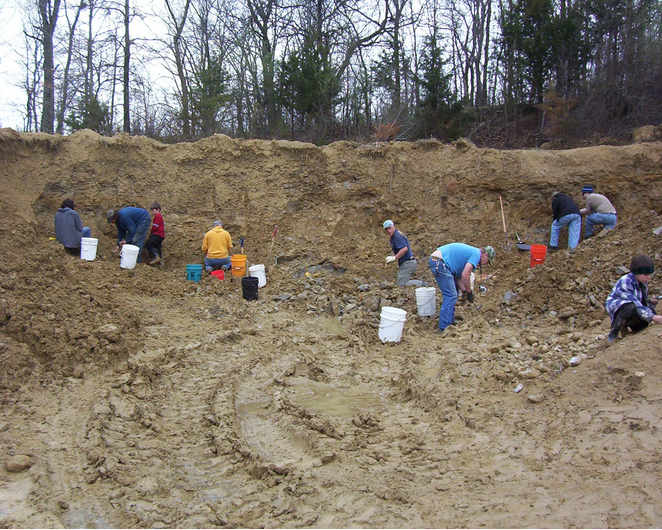
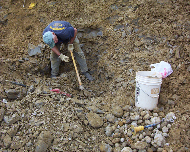
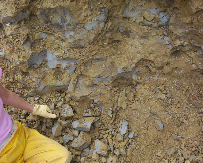


Jacob's Geode Mine, Hamilton, Hancock County, Illinois, USA