| Locality | Latitude | Longitude | Distance | Bearing |
|---|
| Bull Neck Mine (Kirk Mine; Bull Neck Run Mine; Virginia Mines Inc. Mine), Bull Neck Run, Gold-Pyrite Belt, Fairfax County, Virginia, USA | 39° 0' 0" N | 77° 18' 0" W | 0.0km (0.0 miles) | |
| Great Falls, Fairfax County, Virginia, USA | 38° 59' 53" N | 77° 17' 17" W | 1.0km (0.6 miles) | |
| Jenkins Farm Prospect, Fairfax County, Virginia, USA | 38° 59' 3" N | 77° 19' 38" W | 2.9km (1.8 miles) | |
| Dranesville, Fairfax County, Virginia, USA | 39° 0' 2" N | 77° 20' 44" W | 4.0km (2.5 miles) | |
| Difficult Run, Fairfax County, Virginia, USA | 38° 58' 37" N | 77° 14' 54" W | 5.1km (3.2 miles) | |
| Shaft #2, Ford Mine, Potomac, Montgomery County, Maryland, USA | 39° 0' 24" N | 77° 14' 21" W | 5.3km (3.3 miles) | |
| Shaft #1, Ford Mine, Potomac, Montgomery County, Maryland, USA | 39° 0' 39" N | 77° 14' 18" W | 5.4km (3.4 miles) | |
| Ford Mine, Potomac, Montgomery County, Maryland, USA | 39° 0' 40" N | 77° 14' 18" W | 5.5km (3.4 miles) | |
| Watson Mine (Anderson Property; Potomac and Watson Mine), Potomac, Montgomery County, Maryland, USA | 39° 0' 8" N | 77° 14' 2" W | 5.7km (3.6 miles) | |
| Maryland Mine (Allen shaft), Potomac, Montgomery County, Maryland, USA | 38° 59' 44" N | 77° 13' 53" W | 6.0km (3.7 miles) | |
| Stanmore Drive, Potomac, Montgomery County, Maryland, USA | 39° 0' 47" N | 77° 13' 50" W | 6.2km (3.8 miles) | |
| Wiehle, Fairfax County, Virginia, USA | 38° 57' 26" N | 77° 20' 59" W | 6.4km (4.0 miles) | |
| Hise Prospect, Fairfax County, Virginia, USA | 38° 56' 10" N | 77° 18' 15" W | 7.1km (4.4 miles) | |
| Cropley, Montgomery County, Maryland, USA | 38° 58' 52" N | 77° 13' 14" W | 7.2km (4.5 miles) | |
| Unnamed schist quarries, Potomac, Montgomery County, Maryland, USA | 38° 58' 39" N | 77° 13' 15" W | 7.3km (4.5 miles) | |
| Montgomery Mine (Potomac Mine), Potomac, Montgomery County, Maryland, USA | 39° 0' 42" N | 77° 12' 42" W | 7.7km (4.8 miles) | |
| Rock Run gold placers, Cropley, Montgomery County, Maryland, USA | 38° 59' 21" N | 77° 12' 30" W | 8.0km (5.0 miles) | |
| Theodora Mine, Herndon, Fairfax County, Virginia, USA | 38° 58' 0" N | 77° 22' 59" W | 8.1km (5.0 miles) | |
| Potomac, Montgomery County, Maryland, USA | 39° 1' 4" N | 77° 12' 31" W | 8.1km (5.0 miles) | |
| Sawyer Mine, Cropley, Montgomery County, Maryland, USA | 38° 59' 17" N | 77° 12' 15" W | 8.4km (5.2 miles) | |
| Eagle Mine, Potomac, Montgomery County, Maryland, USA | 39° 0' 8" N | 77° 12' 2" W | 8.6km (5.3 miles) | |
| Irma Mine, Cropley, Montgomery County, Maryland, USA | 38° 59' 8" N | 77° 12' 6" W | 8.6km (5.4 miles) | |
| Seneca sandstone quarries, Seneca, Montgomery County, Maryland, USA | 39° 4' 8" N | 77° 20' 49" W | 8.7km (5.4 miles) | |
| Seneca Quarry, Seneca sandstone quarries, Seneca, Montgomery County, Maryland, USA | 39° 4' 9" N | 77° 20' 55" W | 8.8km (5.5 miles) | |
| College Quarry, Seneca sandstone quarries, Seneca, Montgomery County, Maryland, USA | 39° 4' 7" N | 77° 21' 23" W | 9.1km (5.6 miles) | |
| Seneca, Montgomery County, Maryland, USA | 39° 4' 42" N | 77° 20' 21" W | 9.4km (5.8 miles) | |
| Lynch Mine, Cropley, Montgomery County, Maryland, USA | 38° 59' 12" N | 77° 11' 29" W | 9.5km (5.9 miles) | |
| Peter's Quarry, Seneca sandstone quarries, Seneca, Montgomery County, Maryland, USA | 39° 4' 11" N | 77° 21' 50" W | 9.5km (5.9 miles) | |
| Harrison Mine (Potomac), Cropley, Montgomery County, Maryland, USA | 38° 58' 50" N | 77° 11' 6" W | 10.2km (6.3 miles) | |
| Government Quarry, Seneca sandstone quarries, Seneca, Montgomery County, Maryland, USA | 39° 4' 37" N | 77° 21' 55" W | 10.3km (6.4 miles) | |


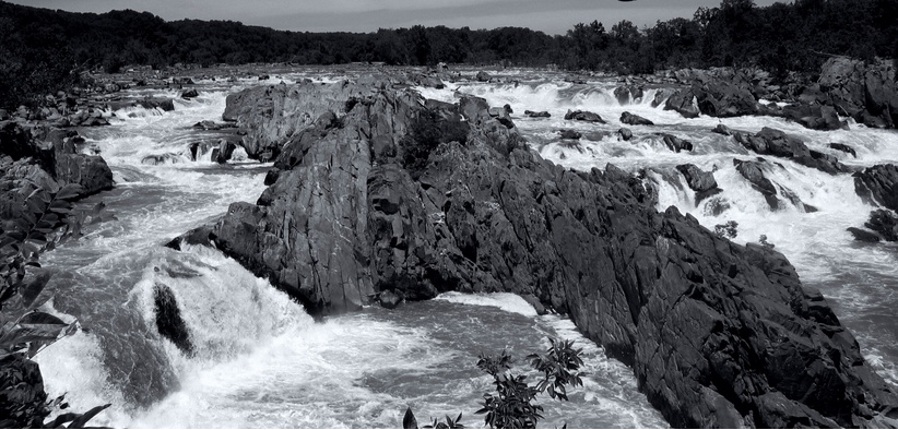


Great Falls, Fairfax County, Virginia, USA