| Locality | Latitude | Longitude | Distance | Bearing |
|---|
| Mam Tor, Edale, High Peak, Derbyshire, England, UK | 53° 20' 56" N | 1° 48' 38" W | 3.1km (1.9 miles) | |
| Mam Tor Mine, Castleton, High Peak, Derbyshire, England, UK | 53° 20' 43" N | 1° 48' 38" W | 3.4km (2.1 miles) | |
| Windy Knoll Quarry, Castleton, High Peak, Derbyshire, England, UK | 53° 20' 37" N | 1° 48' 43" W | 3.5km (2.2 miles) | |
| Odin Mine, Castleton, High Peak, Derbyshire, England, UK | 53° 20' 52" N | 1° 48' 5" W | 3.7km (2.3 miles) | |
| Blue John Mine (Blue John Cavern), Castleton, High Peak, Derbyshire, England, UK | 53° 20' 44" N | 1° 48' 12" W | 3.7km (2.3 miles) | |
| Treak Cliff Cavern (Treak Cliff Mine), Castleton, High Peak, Derbyshire, England, UK | 53° 20' 42" N | 1° 47' 49" W | 4.1km (2.5 miles) | |
| Old Tor Mine, Castleton, High Peak, Derbyshire, England, UK | 53° 20' 29" N | 1° 47' 53" W | 4.3km (2.7 miles) | |
| Winnats Pass, Castleton, High Peak, Derbyshire, England, UK | 53° 20' 25" N | 1° 47' 48" W | 4.5km (2.8 miles) | |
| Eldon Hill Quarry, Peak Forest, High Peak, Derbyshire, England, UK | 53° 19' 45" N | 1° 49' 41" W | 4.5km (2.8 miles) | |
| Speedwell Mine (Oakden Level), Castleton, High Peak, Derbyshire, England, UK | 53° 20' 28" N | 1° 47' 31" W | 4.6km (2.9 miles) | |
| Slitherstone Mine, Peak Forest, High Peak, Derbyshire, England, UK | 53° 19' 45" N | 1° 48' 54" W | 4.7km (2.9 miles) | |
| Eldon Hill Mine, Peak Forest, High Peak, Derbyshire, England, UK | 53° 19' 36" N | 1° 49' 32" W | 4.8km (3.0 miles) | |
| Shackhole Scrin, Castleton, High Peak, Derbyshire, England, UK | 53° 20' 20" N | 1° 47' 17" W | 5.0km (3.1 miles) | |
| Slate Scrin Mine, Castleton, High Peak, Derbyshire, England, UK | 53° 20' 17" N | 1° 47' 21" W | 5.0km (3.1 miles) | |
| Cowlow Nick, Castleton, High Peak, Derbyshire, England, UK | 53° 20' 17" N | 1° 47' 18" W | 5.0km (3.1 miles) | |
| Portaway Pit (Portway Pit; Gravel pit; Old Wham vein), Castleton, High Peak, Derbyshire, England, UK | 53° 19' 36" N | 1° 48' 30" W | 5.2km (3.2 miles) | |
| North Grain Head Mine, Peak Forest, High Peak, Derbyshire, England, UK | 53° 19' 26" N | 1° 49' 0" W | 5.2km (3.3 miles) | |
| Wall Shaft Mine, Castleton, High Peak, Derbyshire, England, UK | 53° 20' 26" N | 1° 46' 50" W | 5.3km (3.3 miles) | |
| Portaway Mine (Portway Mine), Peak Forest, High Peak, Derbyshire, England, UK | 53° 19' 31" N | 1° 48' 30" W | 5.3km (3.3 miles) | |
| Peakshole Sough, Castleton, High Peak, Derbyshire, England, UK | 53° 20' 26" N | 1° 46' 44" W | 5.3km (3.3 miles) | |
| Peak Cavern, Castleton, High Peak, Derbyshire, England, UK | 53° 20' 24" N | 1° 46' 42" W | 5.4km (3.4 miles) | |
| Wham Engine Mine, Castleton, High Peak, Derbyshire, England, UK | 53° 19' 38" N | 1° 48' 1" W | 5.4km (3.4 miles) | |
| Cavedale, Castleton, High Peak, Derbyshire, England, UK | 53° 20' 20" N | 1° 46' 39" W | 5.5km (3.4 miles) | |
| Cave Dale, Castleton, High Peak, Derbyshire, England, UK | 53° 20' 22" N | 1° 46' 35" W | 5.5km (3.4 miles) | |
| Hazard Mine, Dirtlow Rake, Castleton, High Peak, Derbyshire, England, UK | 53° 19' 37" N | 1° 47' 39" W | 5.7km (3.5 miles) | |
| Hollandtwine Mine, Dirtlow Rake, Castleton, High Peak, Derbyshire, England, UK | 53° 19' 41" N | 1° 47' 28" W | 5.7km (3.5 miles) | |
| Old Moor Mine, Castleton, High Peak, Derbyshire, England, UK | 53° 19' 26" N | 1° 47' 58" W | 5.8km (3.6 miles) | |
| Dirtlow Stone Mine (incl. Bennett Grove; Bullock Grove), Dirtlow Rake, Castleton, High Peak, Derbyshire, England, UK | 53° 19' 47" N | 1° 47' 6" W | 5.8km (3.6 miles) | |
| Clear-the-way Mine, Oxlow Rake, Peak Forest, High Peak, Derbyshire, England, UK | 53° 19' 13" N | 1° 48' 28" W | 5.9km (3.6 miles) | |
| How Grove (incl. Nall Grove), Dirtlow Rake, Castleton, High Peak, Derbyshire, England, UK | 53° 19' 54" N | 1° 46' 49" W | 5.9km (3.7 miles) | |


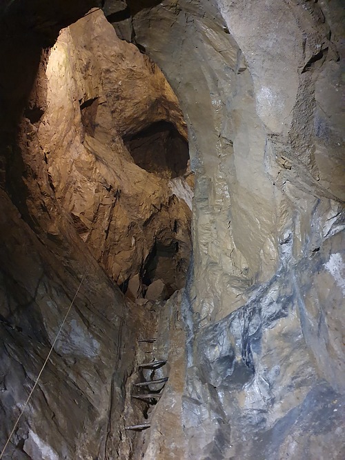


Odin Mine, Castleton, High Peak, Derbyshire, England, UK