| Locality | Latitude | Longitude | Distance | Bearing |
|---|
| Acomb Drift, Acomb, Northumberland, England, UK | 54° 59' 27" N | 2° 7' 2" W | 0.4km (0.2 miles) | |
| Acomb Colliery, Acomb, Northumberland, England, UK | 54° 59' 18" N | 2° 6' 43" W | 0.4km (0.3 miles) | |
| Wall Colliery, Acomb, Northumberland, England, UK | 54° 59' 18" N | 2° 6' 45" W | 0.4km (0.3 miles) | |
| Birkey Burn Deposit, Acomb, Northumberland, England, UK | 54° 59' 24" N | 2° 5' 48" W | 1.0km (0.6 miles) | |
| Tynedale Colliery, Acomb, Northumberland, England, UK | 54° 59' 30" N | 2° 5' 42" W | 1.1km (0.7 miles) | |
| Fallowfield Half-Way Pit, Wall, Northumberland, England, UK | 55° 0' 9" N | 2° 6' 50" W | 1.1km (0.7 miles) | |
| Fallowfield Mine, Acomb, Northumberland, England, UK | 55° 0' 13" N | 2° 5' 48" W | 1.6km (1.0 miles) | |
| North Tyne Colliery, Acomb, Northumberland, England, UK | 55° 0' 23" N | 2° 7' 47" W | 1.9km (1.2 miles) | |
| Fallowfield Colliery, Wall, Northumberland, England, UK | 55° 0' 36" N | 2° 6' 27" W | 2.0km (1.2 miles) | |
| Fourstones First Pit, Warden, Northumberland, England, UK | 55° 0' 16" N | 2° 10' 38" W | 4.4km (2.7 miles) | |
| Fourstones No.2 Pit, Warden, Northumberland, England, UK | 55° 0' 16" N | 2° 10' 38" W | 4.4km (2.7 miles) | |
| Fourstones Colliery, Warden, Northumberland, England, UK | 55° 0' 15" N | 2° 10' 39" W | 4.4km (2.7 miles) | |
| Whittington Colliery, Corbridge, Northumberland, England, UK | 55° 0' 47" N | 2° 1' 27" W | 6.1km (3.8 miles) | |
| Stagshaw Bank Colliery, Corbridge, Northumberland, England, UK | 55° 0' 59" N | 2° 1' 31" W | 6.2km (3.8 miles) | |
| Halton Colliery, Whittington, Northumberland, England, UK | 55° 0' 47" N | 1° 59' 54" W | 7.6km (4.7 miles) | |
| Stonecroft and Greyside mine, Newbrough, Northumberland, England, UK | 55° 0' 51" N | 2° 13' 47" W | 7.9km (4.9 miles) | |
| Settlingstones Mine, Newbrough, Northumberland, England, UK | 55° 0' 32" N | 2° 14' 43" W | 8.7km (5.4 miles) | |
| Stublick Colliery, Hexhamshire, Northumberland, England, UK | 54° 56' 20" N | 2° 13' 29" W | 9.3km (5.8 miles) | |
| Todridge Colliery, Whittington, Northumberland, England, UK | 55° 2' 43" N | 1° 59' 55" W | 9.3km (5.8 miles) | |
| Langley Barony mine, Haydon Bridge mines, Haydon, Northumberland, England, UK | 54° 59' 37" N | 2° 15' 50" W | 9.7km (6.0 miles) | |
| Barrasford Quarry, Chollerton, Northumberland, England, UK | 55° 5' 0" N | 2° 4' 46" W | 10.4km (6.4 miles) | |
| Quarry Top Shaft, Haydon, Northumberland, England, UK | 54° 56' 22" N | 2° 14' 56" W | 10.5km (6.5 miles) | |
| Allendale No.1 Pit, Allendale, Northumberland, England, UK | 54° 56' 19" N | 2° 14' 55" W | 10.5km (6.6 miles) | |
| Gunnerton a Colliery, Chollerton, Northumberland, England, UK | 55° 5' 2" N | 2° 9' 35" W | 10.7km (6.6 miles) | |
| New Gunnerton Colliery, Chollerton, Northumberland, England, UK | 55° 5' 6" N | 2° 9' 19" W | 10.7km (6.6 miles) | |
| Gunnerton c Colliery, Chollerton, Northumberland, England, UK | 55° 5' 6" N | 2° 9' 19" W | 10.7km (6.6 miles) | |
| Chipchase Colliery, Chollerton, Northumberland, England, UK | 55° 4' 51" N | 2° 10' 42" W | 10.7km (6.7 miles) | |
| Yard Pit, Haydon, Northumberland, England, UK | 54° 56' 21" N | 2° 15' 15" W | 10.8km (6.7 miles) | |
| Bounder Mine, Haydon, Northumberland, England, UK | 54° 56' 17" N | 2° 15' 12" W | 10.8km (6.7 miles) | |
| Gunnerton Gunnerton Pit, Chollerton, Northumberland, England, UK | 55° 5' 11" N | 2° 9' 40" W | 10.9km (6.8 miles) | |
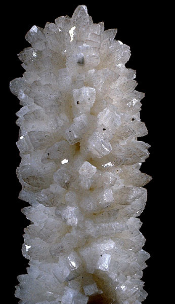
Minerals recorded nearby (within 10.9 km)
Rock types recorded nearby (within 10.9 km)
Entries shown in red are rocks recorded for this region.
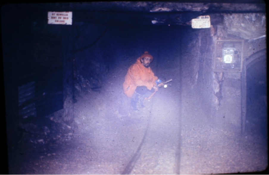


Settlingstones Mine, Newbrough, Northumberland, England, UK