| Locality | Latitude | Longitude | Distance | Bearing |
|---|
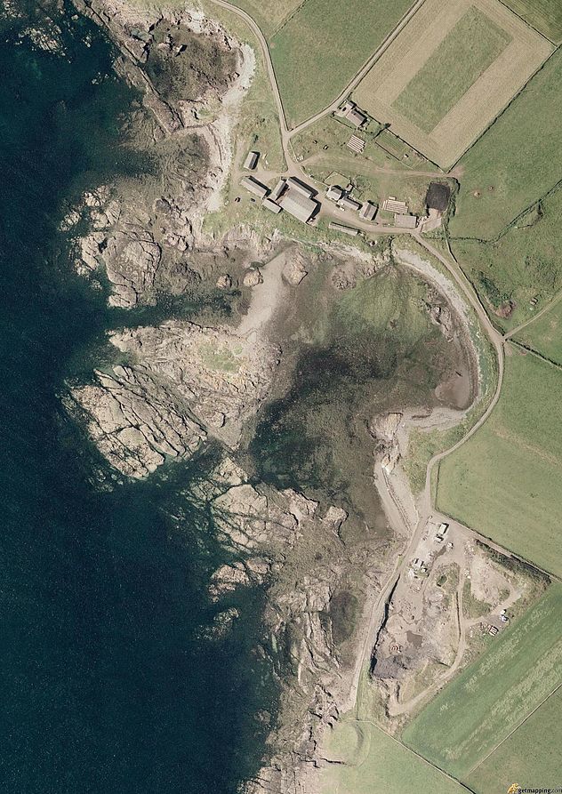
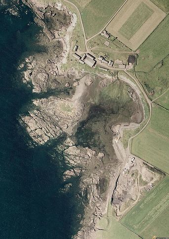
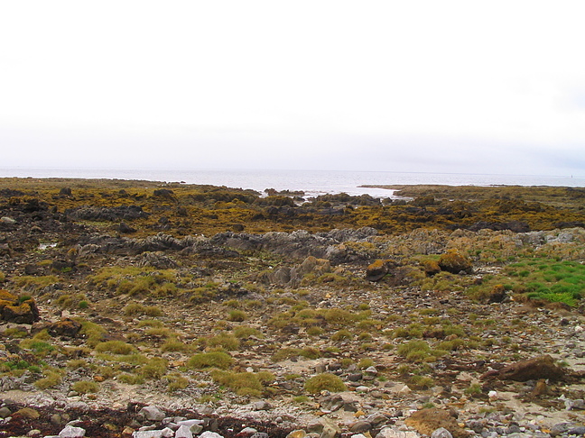
| Langness copper mine, Langness, Malew, Rushen, Isle of Man | 54° 3' 40" N | 4° 37' 20" W | 0.0km (0.0 miles) | |
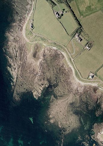
| Langness, Malew, Rushen, Isle of Man | 54° 3' 45" N | 4° 37' 14" W | 0.2km (0.1 miles) | |
| Copper trial, Langness, Malew, Rushen, Isle of Man | 54° 3' 20" N | 4° 37' 13" W | 0.6km (0.4 miles) | |
| Ronaldsway Airport Runway Extension, Malew, Rushen, Isle of Man | 54° 5' 7" N | 4° 36' 22" W | 2.9km (1.8 miles) | |
| Turkeyland Limestone Quarry, Malew, Rushen, Isle of Man | 54° 5' 16" N | 4° 36' 26" W | 3.1km (1.9 miles) | |
| Black Marble Quarry, Malew, Rushen, Isle of Man | 54° 4' 15" N | 4° 40' 51" W | 4.0km (2.5 miles) | |
| Balladoole breccia zone, Balladoole, Arbory, Rushen, Isle of Man | 54° 4' 42" N | 4° 41' 18" W | 4.7km (2.9 miles) | |
| Balladoole, Arbory, Rushen, Isle of Man | 54° 5' 5" N | 4° 41' 11" W | 5.0km (3.1 miles) | |
| Cross Welkin Hill quarry, Rushen, Rushen, Isle of Man | 54° 5' 12" N | 4° 41' 39" W | 5.5km (3.4 miles) | |
| Ballacorkish Mine, Rushen, Rushen, Isle of Man | 54° 5' 40" N | 4° 43' 17" W | 7.5km (4.6 miles) | |
| Granite Mountain, Malew, Rushen, Isle of Man | 54° 9' 11" N | 4° 37' 38" W | 10.2km (6.4 miles) | |
| South Bradda Mine (Minehough), Bradda Head, Port Erin, Rushen, Isle of Man | 54° 5' 27" N | 4° 46' 30" W | 10.5km (6.5 miles) | |
| Bradda Head, Port Erin, Rushen, Isle of Man | 54° 5' 32" N | 4° 46' 40" W | 10.7km (6.7 miles) | |
| North Bradda Mine, Bradda Head, Port Erin, Rushen, Isle of Man | 54° 5' 56" N | 4° 46' 30" W | 10.8km (6.7 miles) | |
| Wallberry (Horse's Leap), Braddan, Middle, Isle of Man | 54° 7' 47" N | 4° 29' 50" W | 11.2km (6.9 miles) | |
| Maghie's Mine, Malew, Rushen, Isle of Man | 54° 9' 56" N | 4° 38' 7" W | 11.6km (7.2 miles) | |
| New Foxdale Mine (East Foxdale Mine), Marown, Middle, Isle of Man | 54° 10' 0" N | 4° 36' 21" W | 11.8km (7.3 miles) | |
| Upper Old Foxdale Mine, Foxdale, Patrick, Glenfaba, Isle of Man | 54° 10' 5" N | 4° 38' 12" W | 11.9km (7.4 miles) | |
| Stack Indigo, Braddan, Middle, Isle of Man | 54° 8' 3" N | 4° 29' 16" W | 12.0km (7.4 miles) | |
| Old Flappy mine, Foxdale, Patrick, Glenfaba, Isle of Man | 54° 10' 7" N | 4° 37' 42" W | 12.0km (7.4 miles) | |
| Beckwith mine, Foxdale, Patrick, Glenfaba, Isle of Man | 54° 9' 59" N | 4° 40' 44" W | 12.3km (7.6 miles) | |
| Cross's Mine, Foxdale, Patrick, Glenfaba, Isle of Man | 54° 10' 8" N | 4° 39' 48" W | 12.3km (7.6 miles) | |
| Bell Hole mine (Ballahergy), Foxdale, Patrick, Glenfaba, Isle of Man | 54° 10' 26" N | 4° 38' 24" W | 12.6km (7.8 miles) | |
| Ballergy Mine (Clucas's; Faragher's; Bell Hole), Foxdale, Patrick, Glenfaba, Isle of Man | 54° 10' 33" N | 4° 38' 15" W | 12.8km (8.0 miles) | |
| Billy Gilbert's Harbour iron mine, Braddan, Middle, Isle of Man | 54° 8' 20" N | 4° 28' 21" W | 13.0km (8.1 miles) | |
| Unnamed lead mine, Braddan, Middle, Isle of Man | 54° 8' 32" N | 4° 28' 38" W | 13.1km (8.1 miles) | |
| Gasworks Quarry, Douglas, Middle, Isle of Man | 54° 8' 43" N | 4° 28' 53" W | 13.1km (8.2 miles) | |
| Fort Anne Quarry, Douglas, Middle, Isle of Man | 54° 8' 43" N | 4° 28' 40" W | 13.3km (8.2 miles) | |
| Traie Vrish, Patrick, Glenfaba, Isle of Man | 54° 9' 40" N | 4° 44' 8" W | 13.4km (8.3 miles) | |
| Townshend's Mine (Jones's Mine), German, Glenfaba, Isle of Man | 54° 10' 56" N | 4° 36' 46" W | 13.5km (8.4 miles) | |
Minerals recorded nearby (within 13.5 km)
Rock types recorded nearby (within 13.5 km)
Entries shown in red are rocks recorded for this region.


Black Marble Quarry, Malew, Rushen, Isle of Man