| Locality | Latitude | Longitude | Distance | Bearing |
|---|
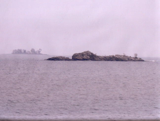
| Silver Islet, Sibley Township, Thunder Bay District, Ontario, Canada | 48° 19' 17" N | 88° 48' 43" W | 0.0km (0.0 miles) | |
| Silver Islet mine, Silver Islet, Sibley Township, Thunder Bay District, Ontario, Canada | 48° 19' 17" N | 88° 48' 43" W | 0.0km (0.0 miles) | |
| Arsenic occurrence (Cross Property), Edward Island, Porphyry Island Township, Thunder Bay District, Ontario, Canada | 48° 21' 23" N | 88° 38' 36" W | 13.0km (8.1 miles) | |
| Barite Occurrence, Porphyry Island, Porphyry Island Township, Thunder Bay District, Ontario, Canada | 48° 21' 20" N | 88° 37' 36" W | 14.2km (8.8 miles) | |
| Edward Island, Porphyry Island Township, Thunder Bay District, Ontario, Canada | 48° 23' 12" N | 88° 37' 45" W | 15.3km (9.5 miles) | |
| Silver Harbour Mine (Beck Mine; Three A Mine; 3 A), MacGregor Township, Thunder Bay District, Ontario, Canada | 48° 30' 51" N | 88° 58' 41" W | 24.7km (15.4 miles) | |
| MacKenzie River Locality, MacGregor Township, Thunder Bay District, Ontario, Canada | 48° 31' 37" N | 88° 56' 33" W | 24.8km (15.4 miles) | |
| Unnamed prospect, MacGregor Township, Thunder Bay District, Ontario, Canada | 48° 31' 20" N | 88° 59' 9" W | 25.8km (16.0 miles) | |
| 7Z Mine, MacGregor Township, Thunder Bay District, Ontario, Canada | 48° 32' 52" N | 88° 54' 57" W | 26.3km (16.4 miles) | |
| Minong Mine, Isle Royale National Park, Keweenaw County, Michigan, USA | 48° 5' 3" N | 88° 43' 27" W | 27.1km (16.9 miles) | |
| Pass Lake area, Thunder Bay District, Ontario, Canada | 48° 33' 51" N | 88° 43' 44" W | 27.7km (17.2 miles) | |
| McKellar Island (South McKellar Island), Spar and Victoria Islands Area, Thunder Bay District, Ontario, Canada | 48° 11' 7" N | 89° 7' 36" W | 27.8km (17.3 miles) | |
| Keefer Point occurrence, Spar and Victoria Islands Area, Thunder Bay District, Ontario, Canada | 48° 12' 46" N | 89° 9' 43" W | 28.6km (17.8 miles) | |
| Pie Island (Pic Island), Spar and Victoria Islands Area, Thunder Bay District, Ontario, Canada | 48° 13' 23" N | 89° 10' 22" W | 28.8km (17.9 miles) | |
| Pass Lake Road quarry, MacGregor Township, Thunder Bay District, Ontario, Canada | 48° 34' 45" N | 88° 44' 40" W | 29.1km (18.1 miles) | |
| Ransom Mine (Ohio & Isle Royale Mine), Isle Royale National Park, Keweenaw County, Michigan, USA | 48° 5' 39" N | 88° 35' 40" W | 30.0km (18.6 miles) | |
| Haytown Mine (Pittsburg & Isle Royale Mine), Isle Royale National Park, Keweenaw County, Michigan, USA | 48° 2' 57" N | 88° 49' 28" W | 30.3km (18.8 miles) | |
| Tobin Harbor, Isle Royale National Park, Keweenaw County, Michigan, USA | 48° 8' 43" N | 88° 29' 55" W | 30.3km (18.9 miles) | |
| Siskowit Mine, Isle Royale National Park, Keweenaw County, Michigan, USA | 48° 6' 29" N | 88° 33' 15" W | 30.4km (18.9 miles) | |
| Blende Lake Iron occurrence, MacGregor Township, Thunder Bay District, Ontario, Canada | 48° 35' 39" N | 88° 46' 9" W | 30.5km (19.0 miles) | |
| Caribou Islands, Isle Royale National Park, Keweenaw County, Michigan, USA | 48° 5' 54" N | 88° 33' 43" W | 30.9km (19.2 miles) | |
| McNamara quarry, MacGregor Township, Thunder Bay District, Ontario, Canada | 48° 29' 18" N | 89° 8' 58" W | 31.1km (19.3 miles) | |
| Smithwick Mine, Isle Royale National Park, Keweenaw County, Michigan, USA | 48° 8' 48" N | 88° 28' 59" W | 31.1km (19.4 miles) | |
| Thunder Bay Agate mine, MacGregor Township, Thunder Bay District, Ontario, Canada | 48° 29' 53" N | 89° 8' 41" W | 31.5km (19.6 miles) | |
| Thunder Bay Mine, MacGregor Township, Thunder Bay District, Ontario, Canada | 48° 29' 21" N | 89° 9' 25" W | 31.6km (19.6 miles) | |
| Terry Fox Memorial access road cut, Thunder Bay District, Ontario, Canada | 48° 29' 18" N | 89° 9' 35" W | 31.7km (19.7 miles) | |
| Current River Ward, Thunder Bay (City), Thunder Bay District, Ontario, Canada | 48° 28' 0" N | 89° 10' 59" W | 31.8km (19.8 miles) | |
| Scoville Mine, Isle Royale National Park, Keweenaw County, Michigan, USA | 48° 9' 45" N | 88° 27' 10" W | 31.9km (19.8 miles) | |
| Conglomerate Bay, Isle Royale National Park, Keweenaw County, Michigan, USA | 48° 4' 46" N | 88° 34' 45" W | 31.9km (19.8 miles) | |
| Saginaw Mine, Isle Royale National Park, Keweenaw County, Michigan, USA | 48° 4' 27" N | 88° 34' 37" W | 32.5km (20.2 miles) | |


Silver Islet mine, Silver Islet, Sibley Township, Thunder Bay District, Ontario, Canada