| Locality | Latitude | Longitude | Distance | Bearing |
|---|
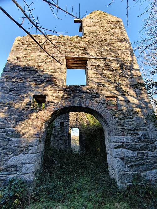
| Nangiles Mine (Wheal Nangiles), Chacewater, Cornwall, England, UK | 50° 14' 9" N | 5° 8' 9" W | 0.0km (0.0 miles) | |
| Bread and Cheese Shaft, Nangiles Mine (Wheal Nangiles), Chacewater, Cornwall, England, UK | 50° 14' 6" N | 5° 8' 22" W | 0.3km (0.2 miles) | |
| Wheal Andrew, Mount Wellington Mine (Wheal Magpie), Cusgarne, Gwennap, Cornwall, England, UK | 50° 14' 5" N | 5° 8' 29" W | 0.4km (0.3 miles) | |
| Twelveheads, Chacewater, Cornwall, England, UK | 50° 14' 16" N | 5° 8' 33" W | 0.5km (0.3 miles) | |
| Mount Wellington Mine (Wheal Magpie), Cusgarne, Gwennap, Cornwall, England, UK | 50° 13' 55" N | 5° 8' 30" W | 0.6km (0.4 miles) | |
| Wheal Widden, Baldhu, Kea, Cornwall, England, UK | 50° 14' 21" N | 5° 7' 39" W | 0.7km (0.4 miles) | |
| Wheal Friendship, Wheal Andrew, Mount Wellington Mine (Wheal Magpie), Cusgarne, Gwennap, Cornwall, England, UK | 50° 14' 4" N | 5° 8' 49" W | 0.8km (0.5 miles) | |
| Cusvey, Great Consolidated Mines, Clifford Amalgamated Mines, St Day, Gwennap, Cornwall, England, UK | 50° 14' 6" N | 5° 8' 50" W | 0.8km (0.5 miles) | |
| Wheal Clifford, United Mines (Gwennap United Mines), Clifford Amalgamated Mines, St Day, Gwennap, Cornwall, England, UK | 50° 13' 55" N | 5° 8' 53" W | 1.0km (0.6 miles) | |
| East Wheal Fortune, Twelveheads, Chacewater, Cornwall, England, UK | 50° 14' 34" N | 5° 8' 41" W | 1.0km (0.6 miles) | |
| Wheal Fortune, Great Consolidated Mines, Clifford Amalgamated Mines, St Day, Gwennap, Cornwall, England, UK | 50° 14' 11" N | 5° 8' 59" W | 1.0km (0.6 miles) | |
| Wheal Hope, Baldhu, Kea, Cornwall, England, UK | 50° 14' 42" N | 5° 7' 51" W | 1.1km (0.7 miles) | |
| Basset Graze Mine, Great Wheal Baddern (Wheal Baddon; incl. Wheal Grease), Bissoe, Kea, Cornwall, England, UK | 50° 14' 17" N | 5° 7' 14" W | 1.1km (0.7 miles) | |
| West Wheal Jane (Baldhu Mine), Baldhu, Kea, Cornwall, England, UK | 50° 14' 30" N | 5° 7' 15" W | 1.2km (0.8 miles) | |
| Bissoe Mine (Bissoe Bridge Mine), Cusgarne, Gwennap, Cornwall, England, UK | 50° 13' 34" N | 5° 7' 36" W | 1.3km (0.8 miles) | |
| Hale Mills, Gwennap, Cornwall, England, UK | 50° 14' 18" N | 5° 9' 13" W | 1.3km (0.8 miles) | |
| Wheal Girl, Great Consolidated Mines, Clifford Amalgamated Mines, St Day, Gwennap, Cornwall, England, UK | 50° 13' 57" N | 5° 9' 14" W | 1.3km (0.8 miles) | |
| Wheal Henry, Twelveheads, Chacewater, Cornwall, England, UK | 50° 14' 27" N | 5° 9' 11" W | 1.3km (0.8 miles) | |
| East Ale and Cakes Mine, United Mines (Gwennap United Mines), Clifford Amalgamated Mines, St Day, Gwennap, Cornwall, England, UK | 50° 13' 48" N | 5° 9' 8" W | 1.3km (0.8 miles) | |
| Garland's Shaft, United Mines (Gwennap United Mines), Clifford Amalgamated Mines, St Day, Gwennap, Cornwall, England, UK | 50° 13' 54" N | 5° 9' 14" W | 1.4km (0.8 miles) | |
| Wheal Sperries, Baldhu, Kea, Cornwall, England, UK | 50° 14' 51" N | 5° 7' 51" W | 1.4km (0.8 miles) | |
| Bissoe, Kea, Cornwall, England, UK | 50° 13' 49" N | 5° 7' 6" W | 1.4km (0.9 miles) | |
| Cusgarne, Gwennap, Cornwall, England, UK | 50° 13' 25" N | 5° 8' 25" W | 1.4km (0.9 miles) | |
| Wheal Lovelace, Great Consolidated Mines, Clifford Amalgamated Mines, St Day, Gwennap, Cornwall, England, UK | 50° 14' 7" N | 5° 9' 24" W | 1.5km (0.9 miles) | |
| Great Wheal Baddern (Wheal Baddon; incl. Wheal Grease), Bissoe, Kea, Cornwall, England, UK | 50° 14' 11" N | 5° 6' 53" W | 1.5km (0.9 miles) | |
| East Wheal Maid, St Day, Gwennap, Cornwall, England, UK | 50° 14' 19" N | 5° 9' 25" W | 1.5km (1.0 miles) | |
| Wheal Prosper (Tregothnan United Mines; New Wheal Clifford), Twelveheads, Chacewater, Cornwall, England, UK | 50° 14' 46" N | 5° 9' 2" W | 1.6km (1.0 miles) | |
| United Mines (Gwennap United Mines), Clifford Amalgamated Mines, St Day, Gwennap, Cornwall, England, UK | 50° 13' 52" N | 5° 9' 25" W | 1.6km (1.0 miles) | |
| Clifford Amalgamated Mines, St Day, Gwennap, Cornwall, England, UK | 50° 13' 59" N | 5° 9' 32" W | 1.7km (1.0 miles) | |
| Bissa Pool Mine (Bissoe Pool Mine), Poldice Mine, St Day United Mines (Poldice Mines), St Day, Gwennap, Cornwall, England, UK | 50° 14' 29" N | 5° 9' 31" W | 1.7km (1.1 miles) | |


Wheal Fortune, Great Consolidated Mines, Clifford Amalgamated Mines, St Day, Gwennap, Cornwall, England, UK