| Locality | Latitude | Longitude | Distance | Bearing |
|---|
| Essoskogen, Slagen, Tønsberg, Vestfold, Norway | 59° 18' 34" N | 10° 31' 35" E | 0.7km (0.4 miles) | |
| Haraldstad Quarry, Slagen, Tønsberg, Vestfold, Norway | 59° 19' 18" N | 10° 29' 36" E | 1.8km (1.1 miles) | |
| Saltkopp, Tønsberg, Vestfold, Norway | 59° 20' 0" N | 10° 29' 23" E | 3.0km (1.9 miles) | |
| Eik, Tønsberg, Vestfold, Norway | 59° 17' 3" N | 10° 24' 45" E | 6.4km (4.0 miles) | |
| Tomsbakken, Tønsberg, Vestfold, Norway | 59° 17' 35" N | 10° 24' 20" E | 6.4km (4.0 miles) | |
| Frodeåsen Tunnel, Tønsberg, Vestfold, Norway | 59° 16' 54" N | 10° 24' 18" E | 6.9km (4.3 miles) | |
| Skoppum Quarry, Skoppum, Horten, Vestfold, Norway | 59° 22' 41" N | 10° 24' 55" E | 9.5km (5.9 miles) | |
| Skoppum, Horten, Vestfold, Norway | 59° 23' 0" N | 10° 25' 25" E | 9.7km (6.0 miles) | |
| Gunnar Lensbergs Quarry, Frestiåsen Quarry, Sem, Tønsberg, Vestfold, Norway | 59° 18' 36" N | 10° 20' 31" E | 9.8km (6.1 miles) | |
| Frestiåsen Quarry, Sem, Tønsberg, Vestfold, Norway | 59° 18' 51" N | 10° 20' 26" E | 9.9km (6.1 miles) | |
| Tokerødveien (Roadcut RV 306), Skoppum, Horten, Vestfold, Norway | 59° 22' 41" N | 10° 24' 10" E | 10.0km (6.2 miles) | |
| Solerød, Undrumsdal, Tønsberg, Vestfold, Norway | 59° 22' 3" N | 10° 22' 50" E | 10.0km (6.2 miles) | |
| Skoppum Industrial site, Skoppum, Horten, Vestfold, Norway | 59° 22' 41" N | 10° 23' 51" E | 10.1km (6.3 miles) | |
| Innlaget, Skoppum, Horten, Vestfold, Norway | 59° 22' 42" N | 10° 23' 34" E | 10.3km (6.4 miles) | |
| Undrumsdal, Tønsberg, Vestfold, Norway | 59° 22' 17" N | 10° 22' 14" E | 10.7km (6.7 miles) | |
| Sem, Tønsberg, Vestfold, Norway | 59° 16' 56" N | 10° 19' 48" E | 10.9km (6.8 miles) | |
| Steinbjørnrød Tunnel-Undrumsdal Crossing, Undrumsdal, Tønsberg, Vestfold, Norway | 59° 22' 47" N | 10° 22' 29" E | 11.2km (6.9 miles) | |
| E 18 Flår, Tønsberg, Vestfold, Norway | 59° 23' 20" N | 10° 22' 25" E | 11.9km (7.4 miles) | |
| Flår tunnel, E 18 Flår, Tønsberg, Vestfold, Norway | 59° 23' 32" N | 10° 22' 19" E | 12.3km (7.6 miles) | |
| Anders Torp AS, Undrumsdal, Tønsberg, Vestfold, Norway | 59° 23' 20" N | 10° 21' 53" E | 12.3km (7.6 miles) | |
| Himberg Quarry, Ramnes, Tønsberg, Vestfold, Norway | 59° 19' 10" N | 10° 17' 44" E | 12.5km (7.8 miles) | |
| Holmane (E18 roadcut), Stokke, Sandefjord, Vestfold, Norway | 59° 16' 13" N | 10° 18' 10" E | 12.8km (7.9 miles) | |
| Vardås Fort, Nøtterøy, Færder, Vestfold, Norway | 59° 12' 11" N | 10° 25' 40" E | 12.8km (8.0 miles) | |
| Near Simrad, Horten, Vestfold, Norway | 59° 25' 35" N | 10° 27' 55" E | 13.3km (8.3 miles) | |
| Holmen Quarry, Nøtterøy, Færder, Vestfold, Norway | 59° 12' 22" N | 10° 22' 52" E | 13.8km (8.5 miles) | |
| Bekkajordet, Borre, Horten, Vestfold, Norway | 59° 25' 56" N | 10° 27' 9" E | 14.1km (8.8 miles) | |
| Gullholmen Copper Occurrence, Moss, Viken, Norway | 59° 26' 7" N | 10° 34' 54" E | 14.5km (9.0 miles) | |
| Veggefjell, Falkensten, Borre, Horten, Vestfold, Norway | 59° 26' 2" N | 10° 25' 30" E | 14.8km (9.2 miles) | |
| Nøtterøy Quarry, Nøtterøy, Færder, Vestfold, Norway | 59° 11' 22" N | 10° 23' 51" E | 14.9km (9.2 miles) | |
| Skavli, Borre, Horten, Vestfold, Norway | 59° 26' 16" N | 10° 26' 32" E | 14.9km (9.3 miles) | |


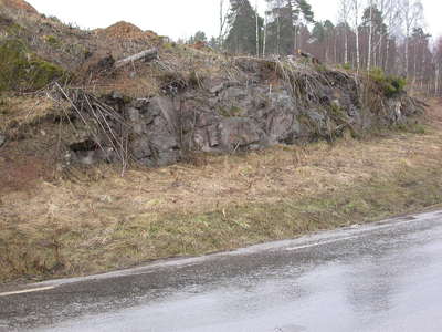
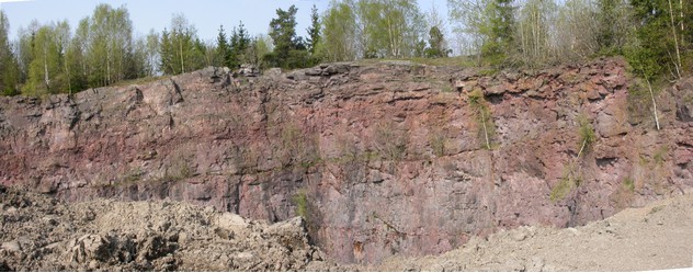


Frestiåsen Quarry, Sem, Tønsberg, Vestfold, Norway