| Locality | Latitude | Longitude | Distance | Bearing |
|---|
| Beech Hill, Warren, Grafton County, New Hampshire, USA | 43° 54' 42" N | 71° 54' 51" W | 0.4km (0.2 miles) | |
| Cotton prospect, Warren, Grafton County, New Hampshire, USA | 43° 54' 33" N | 71° 53' 51" W | 1.1km (0.7 miles) | |
| Clement Mine, Warren, Grafton County, New Hampshire, USA | 43° 55' 0" N | 71° 53' 33" W | 1.5km (0.9 miles) | |
| Fellows Mine, Wentworth, Grafton County, New Hampshire, USA | 43° 53' 49" N | 71° 54' 43" W | 1.8km (1.1 miles) | |
| Baker River, Warren, Grafton County, New Hampshire, USA | 43° 55' 19" N | 71° 53' 24" W | 1.9km (1.2 miles) | |
| Lower Baker Pond Brook Occurrences, Wentworth, Grafton County, New Hampshire, USA | 43° 53' 9" N | 71° 57' 29" W | 4.9km (3.0 miles) | |
| Brown Mine, Wentworth, Grafton County, New Hampshire, USA | 43° 51' 31" N | 71° 54' 15" W | 6.1km (3.8 miles) | |
| New Gove prospect, Wentworth, Grafton County, New Hampshire, USA | 43° 50' 48" N | 71° 54' 46" W | 7.4km (4.6 miles) | |
| King prospect, Wentworth, Grafton County, New Hampshire, USA | 43° 51' 34" N | 71° 58' 9" W | 7.6km (4.7 miles) | |
| Eight-Ball Mica prospect, Rumney, Grafton County, New Hampshire, USA | 43° 50' 35" N | 71° 51' 3" W | 9.2km (5.7 miles) | |
| McGinnis Mine (McGinnis Mica Mine; Wilcher and Pilsbury Mine), Wentworth, Grafton County, New Hampshire, USA | 43° 49' 53" N | 71° 55' 36" W | 9.2km (5.7 miles) | |
| Leggett mica prospect, Rumney, Grafton County, New Hampshire, USA | 43° 49' 21" N | 71° 53' 9" W | 10.3km (6.4 miles) | |
| Wheat Mine, Rumney, Grafton County, New Hampshire, USA | 43° 49' 35" N | 71° 51' 34" W | 10.5km (6.5 miles) | |
| Belden Mine, Rumney, Grafton County, New Hampshire, USA | 43° 49' 13" N | 71° 52' 3" W | 10.9km (6.8 miles) | |
| Atwood Mine, Rumney, Grafton County, New Hampshire, USA | 43° 48' 55" N | 71° 52' 45" W | 11.2km (6.9 miles) | |
| Eastman Ledges, Orford, Grafton County, New Hampshire, USA | 43° 51' 51" N | 72° 2' 4" W | 11.4km (7.1 miles) | |
| Keniston mica prospect, Rumney, Grafton County, New Hampshire, USA | 43° 48' 18" N | 71° 50' 55" W | 13.0km (8.1 miles) | |
| Oliverian Station locality, Haverhill, Grafton County, New Hampshire, USA | 44° 1' 31" N | 71° 58' 13" W | 13.3km (8.3 miles) | |
| Mount Moosilauke, Benton, Grafton County, New Hampshire, USA | 44° 1' 28" N | 71° 49' 53" W | 13.9km (8.6 miles) | |
| Northey Hill Line Occurrences, Orford, Grafton County, New Hampshire, USA | 43° 52' 59" N | 72° 5' 9" W | 14.5km (9.0 miles) | |
| Mount Blue, Benton, Grafton County, New Hampshire, USA | 44° 1' 50" N | 71° 49' 13" W | 14.9km (9.3 miles) | |
| Archertown Brook Occurrences, Orford, Grafton County, New Hampshire, USA | 43° 54' 10" N | 72° 6' 29" W | 15.9km (9.9 miles) | |
| Cottonstone Mountain, Orford, Grafton County, New Hampshire, USA | 43° 55' 47" N | 72° 6' 29" W | 16.0km (9.9 miles) | |
| Morris Brook, Pike, Haverill, Grafton County, New Hampshire, USA | 44° 1' 45" N | 72° 2' 5" W | 16.3km (10.1 miles) | |
| Charles Davis Mine, Groton, Grafton County, New Hampshire, USA | 43° 45' 47" N | 71° 53' 1" W | 16.9km (10.5 miles) | |
| Plume Mine, Groton, Grafton County, New Hampshire, USA | 43° 45' 36" N | 71° 53' 5" W | 17.2km (10.7 miles) | |
| Black Mountain, Benton, Grafton County, New Hampshire, USA | 44° 4' 26" N | 71° 55' 12" W | 17.9km (11.1 miles) | |
| Palermo No. 2 Mine, Groton, Grafton County, New Hampshire, USA | 43° 45' 6" N | 71° 53' 33" W | 18.0km (11.2 miles) | |
| Palermo No. 1 Mine, Groton, Grafton County, New Hampshire, USA | 43° 45' 4" N | 71° 53' 22" W | 18.1km (11.3 miles) | |
| Fletcher Mine, Groton, Grafton County, New Hampshire, USA | 43° 45' 34" N | 71° 49' 39" W | 18.3km (11.4 miles) | |


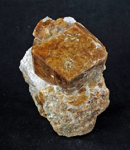


Beech Hill, Warren, Grafton County, New Hampshire, USA