| Locality | Latitude | Longitude | Distance | Bearing |
|---|
| Kuhschnappel, Sankt Egidien, Zwickau District, Saxony, Germany | 50° 48' 25" N | 12° 38' 42" E | 7.2km (4.5 miles) | |
| Callenberg South open cut No. 1, Callenberg, Zwickau District, Saxony, Germany | 50° 49' 28" N | 12° 39' 11" E | 7.6km (4.7 miles) | |
| Callenberg North open cut No. 2, Callenberg, Zwickau District, Saxony, Germany | 50° 51' 44" N | 12° 38' 27" E | 8.2km (5.1 miles) | |
| Zumroda brickworks, Nobitz, Altenburger Land District, Thuringia, Germany | 50° 53' 58" N | 12° 30' 11" E | 9.3km (5.8 miles) | |
| Callenberg North open cut No. 1, Callenberg, Zwickau District, Saxony, Germany | 50° 51' 15" N | 12° 40' 19" E | 9.7km (6.0 miles) | |
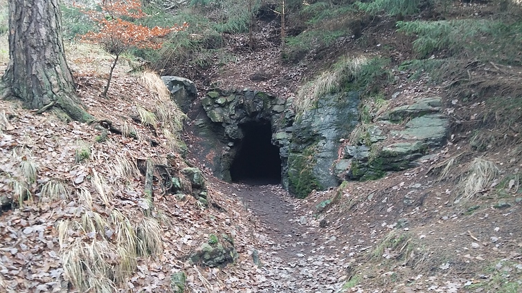
| Karl-May Cave, Hohenstein-Ernstthal, Zwickau District, Saxony, Germany | 50° 49' 32" N | 12° 41' 13" E | 10.0km (6.2 miles) | |
| Oberwald quarry (Kiefernberg quarry), Hohenstein-Ernstthal, Zwickau District, Saxony, Germany | 50° 49' 13" N | 12° 41' 25" E | 10.2km (6.4 miles) | |
| VEB Steinkohlenwerk Martin Hoop, Zwickau, Zwickau District, Saxony, Germany | 50° 43' 34" N | 12° 33' 36" E | 10.5km (6.5 miles) | |
| Uhlsdorf, Wolkenburg Cu-Pb-Ag mining district, Limbach-Oberfrohna, Zwickau District, Saxony, Germany | 50° 53' 5" N | 12° 39' 29" E | 10.8km (6.7 miles) | |
| VEB Steinkohlenwerk Karl Marx, Zwickau, Zwickau District, Saxony, Germany | 50° 43' 1" N | 12° 30' 39" E | 11.7km (7.3 miles) | |
| Hohndorf, Erzgebirgskreis, Saxony, Germany | 50° 44' 36" N | 12° 40' 32" E | 12.5km (7.8 miles) | |
| Morgensternschacht II Mine, Reinsdorf, Zwickau District, Saxony, Germany | 50° 42' 24" N | 12° 31' 59" E | 12.6km (7.8 miles) | |
| Zechenberg, Hohenstein-Ernstthal, Zwickau District, Saxony, Germany | 50° 48' 30" N | 12° 43' 26" E | 12.6km (7.9 miles) | |
| St Lampertus mine, Zechenberg, Hohenstein-Ernstthal, Zwickau District, Saxony, Germany | 50° 48' 19" N | 12° 43' 33" E | 12.8km (8.0 miles) | |
| St Anna Mine, Zechenberg, Hohenstein-Ernstthal, Zwickau District, Saxony, Germany | 50° 48' 34" N | 12° 43' 41" E | 12.9km (8.0 miles) | |
| Wille Gottes mine, Zechenberg, Hohenstein-Ernstthal, Zwickau District, Saxony, Germany | 50° 48' 31" N | 12° 43' 44" E | 13.0km (8.1 miles) | |
| Heleneschacht Mine, Hohndorf, Erzgebirgskreis, Saxony, Germany | 50° 44' 32" N | 12° 41' 0" E | 13.0km (8.1 miles) | |
| Bräunsdorf, Pegmatite occurrences, Limbach-Oberfrohna, Zwickau District, Saxony, Germany | 50° 52' 16" N | 12° 42' 41" E | 13.0km (8.1 miles) | |
| Wilhelmschacht Mine, Oberhohndorf, Zwickau, Zwickau District, Saxony, Germany | 50° 42' 5" N | 12° 31' 21" E | 13.3km (8.2 miles) | |
| Wolkenburg, Pegmatite occurrences, Limbach-Oberfrohna, Zwickau District, Saxony, Germany | 50° 54' 12" N | 12° 40' 48" E | 13.3km (8.3 miles) | |
| Oberhohndorf, Zwickau, Zwickau District, Saxony, Germany | 50° 42' 10" N | 12° 30' 19" E | 13.3km (8.3 miles) | |
| Bürger shaft, Zwickau, Zwickau District, Saxony, Germany | 50° 42' 25" N | 12° 28' 55" E | 13.3km (8.3 miles) | |
| Morgensternschacht I Mine, Reinsdorf, Zwickau District, Saxony, Germany | 50° 42' 1" N | 12° 32' 2" E | 13.3km (8.3 miles) | |
| Vereinigtfeldschacht Mine, Hohndorf, Erzgebirgskreis, Saxony, Germany | 50° 44' 6" N | 12° 40' 50" E | 13.4km (8.3 miles) | |
| Pluto-Schacht, Gersdorf, Zwickau District, Saxony, Germany | 50° 44' 48" N | 12° 41' 50" E | 13.4km (8.4 miles) | |
| Idaschacht Mine, Hohndorf, Erzgebirgskreis, Saxony, Germany | 50° 44' 21" N | 12° 41' 16" E | 13.5km (8.4 miles) | |
| Merkur-Schacht, Gersdorf, Zwickau District, Saxony, Germany | 50° 44' 44" N | 12° 41' 54" E | 13.6km (8.4 miles) | |
| Zwickau brickworks, Niederplanitz, Zwickau, Zwickau District, Saxony, Germany | 50° 42' 1" N | 12° 28' 22" E | 14.2km (8.8 miles) | |
| Kaisergrube-Schacht II, Gersdorf, Zwickau District, Saxony, Germany | 50° 44' 47" N | 12° 42' 37" E | 14.2km (8.8 miles) | |
| Kaisergrube-Schacht I, Gersdorf, Zwickau District, Saxony, Germany | 50° 44' 40" N | 12° 42' 43" E | 14.4km (9.0 miles) | |


Karl-May Cave, Hohenstein-Ernstthal, Zwickau District, Saxony, Germany