| Locality | Latitude | Longitude | Distance | Bearing |
|---|
| Gortdrum Mine, Monard, Tipperary County, Munster, Ireland | 52° 31' 18" N | 8° 11' 12" W | 6.1km (3.8 miles) | |
| Monard, Tipperary County, Munster, Ireland | 52° 31' 6" N | 8° 13' 9" W | 6.6km (4.1 miles) | |
| Hollyford Mine, Tipperary County, Munster, Ireland | 52° 38' 1" N | 8° 6' 40" W | 8.5km (5.3 miles) | |
| Kilfeacle Quarry, Tipperary County, Munster, Ireland | 52° 28' 37" N | 8° 4' 56" W | 13.5km (8.4 miles) | |
| Mooresfort meteorite, Tipperary County, Munster, Ireland | 52° 27' 0" N | 8° 19' 59" W | 16.9km (10.5 miles) | |
| Denison deposit, Aherlow, Limerick County, Munster, Ireland | 52° 25' 8" N | 8° 14' 38" W | 17.8km (11.1 miles) | |
| Aherlow, Limerick County, Munster, Ireland | 52° 24' 35" N | 8° 14' 38" W | 18.8km (11.7 miles) | |
| Knockanroe mine, Silvermines District, Tipperary County, Munster, Ireland | 52° 47' 17" N | 8° 14' 30" W | 23.7km (14.7 miles) | |
| Ballygown South Mine, Silvermines District, Tipperary County, Munster, Ireland | 52° 47' 20" N | 8° 14' 4" W | 23.7km (14.8 miles) | |
| Ballynoe mine (Magcobar mine), Silvermines District, Tipperary County, Munster, Ireland | 52° 47' 22" N | 8° 15' 20" W | 24.0km (14.9 miles) | |
| Gurtnadyne Mine (Gorteenahida), Silvermines District, Tipperary County, Munster, Ireland | 52° 47' 21" N | 8° 15' 56" W | 24.1km (15.0 miles) | |
| Silvermines District, Tipperary County, Munster, Ireland | 52° 47' 39" N | 8° 14' 18" W | 24.4km (15.1 miles) | |
| Mogul Mine (Garryard Mine; International Mogul Mines), Silvermines District, Tipperary County, Munster, Ireland | 52° 47' 39" N | 8° 16' 5" W | 24.7km (15.3 miles) | |
| Shallee Mine, Shallee Mountain, Silvermines District, Tipperary County, Munster, Ireland | 52° 47' 30" N | 8° 17' 14" W | 24.7km (15.4 miles) | |
| Ballynunty Colliery, Tipperary County, Munster, Ireland | 52° 35' 13" N | 7° 38' 57" W | 37.0km (23.0 miles) | |
| Moyne, Tipperary County, Munster, Ireland | 52° 44' 9" N | 7° 42' 52" W | 37.0km (23.0 miles) | |
| Mardyke Colliery, Tipperary County, Munster, Ireland | 52° 35' 1" N | 7° 38' 30" W | 37.5km (23.3 miles) | |
| Lickfinn Opencast, Tipperary County, Munster, Ireland | 52° 36' 6" N | 7° 38' 2" W | 38.1km (23.7 miles) | |
| Ballynastick Colliery, Tipperary County, Munster, Ireland | 52° 36' 40" N | 7° 36' 57" W | 39.4km (24.5 miles) | |
| Ballinastick New Colliery, Tipperary County, Munster, Ireland | 52° 36' 40" N | 7° 36' 57" W | 39.4km (24.5 miles) | |
| Ballinastick Old Colliery, Tipperary County, Munster, Ireland | 52° 36' 40" N | 7° 36' 57" W | 39.4km (24.5 miles) | |
| Earl's Hill Colliery, Tipperary County, Munster, Ireland | 52° 36' 25" N | 7° 36' 50" W | 39.5km (24.5 miles) | |
| Limerick meteorite, Limerick County, Munster, Ireland | 52° 34' 0" N | 8° 46' 59" W | 39.7km (24.7 miles) | |
| Lisheen mine, Moyne, Tipperary County, Munster, Ireland | 52° 44' 52" N | 7° 40' 23" W | 40.1km (24.9 miles) | |
| Ballyphilip Colliery, Tipperary County, Munster, Ireland | 52° 36' 7" N | 7° 36' 10" W | 40.2km (25.0 miles) | |
| Ballyphilip Opencast, Tipperary County, Munster, Ireland | 52° 36' 6" N | 7° 36' 7" W | 40.2km (25.0 miles) | |
| Gorteen a Colliery, Tipperary County, Munster, Ireland | 52° 37' 15" N | 7° 36' 0" W | 40.6km (25.2 miles) | |
| Gorteen b Colliery, Tipperary County, Munster, Ireland | 52° 37' 15" N | 7° 35' 57" W | 40.6km (25.2 miles) | |
| Knockalonga Colliery, Tipperary County, Munster, Ireland | 52° 36' 27" N | 7° 35' 14" W | 41.3km (25.6 miles) | |
| Lisnamrock Colliery, Tipperary County, Munster, Ireland | 52° 36' 10" N | 7° 34' 50" W | 41.7km (25.9 miles) | |
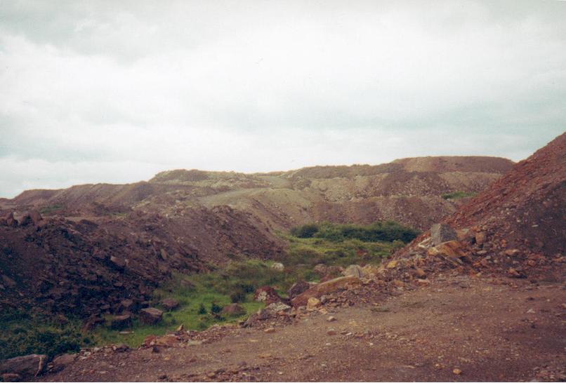

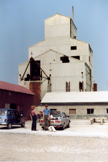


Gortdrum Mine, Monard, Tipperary County, Munster, Ireland